Sea Kayak Navigation: thoughts on GPSs and smartphone navigation apps

Featured

The first module of the online sea kayak Trip Planning Course I teach is all about navigating by chart and compass. And one of the questions I inevitably get asked during that lesson is “What about GPSs or smartphone/tablet navigation apps?”

Read more: Sea Kayak Navigation: thoughts on GPSs and smartphone navigation apps

My answer is “I love’m—in their place.” And that place is alongside, not instead of charts, compasses, and hardcopy tide and current tables. Nor am I saying that as some cranky luddite: I was a very early adopter of portable GPSs. I owned one of the first internal battery powered versions in the early 1990s, a Magellan NAV 5000D. This bigger-than-a-brick unit had no built-in scrolling charts: You had to determine the coordinates of your desired destination from a paper chart and manually key them in. Likewise, you needed to transpose the real-time position, shown as raw latitude and longitude numbers on a monochrome LCD, onto your paper chart. That was great for confirming where you were once you’d landed and weren’t moving. But when you were getting surfed along off a lee shore, trying frantically to determine how close you were to sandbars lurking beneath the muddy waters of a shallow Arctic sea? Rather too much latency (as in “The late Philip Torrens was found not far from the reef that had capsized the kayak…”). So by today’s standards, that GPS was risibly clunky (It’s literally a museum piece now.) But by the standards of the time, it was revolutionary. It was an incredible help in finding our way through the often featureless Canadian Arctic.  
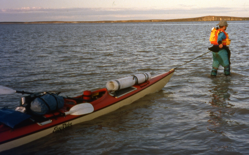
Navigating like it’s 1993! On the lower left, just above the folded blue chart case, sits a Magellan NAV 5000D, complete with its vertical external antenna in a pivoting white housing of its own. Today, GPSs are much slimmer, lighter and faster. The kayaker-wader on the upper right? Rather the opposite on all counts, really.

Since then I’ve almost always owned and carried a GPS of some type while kayaking anywhere other than in my backyard waters of English Bay in Vancouver, BC. As with all consumer electronics, features have expanded as cost and size shrink. Today’s units can hold integrated scrolling charts that show your position relative to the land and seascape in real time, just as the maps app on your smartphone shows a rolling roadmap when you’re driving.   

A screen shot of the "map" page from an early GPS, showing that it has no topographic or hydrographic details.
A screenshot of the “map” page from a last-millennium GPS. No topographical or hydrographical details. A big help, huh?

One of the functions I like best and use most with GPSs is their ability to automagically offset for drift from wind and current in real time and guide you along a fairly straight line to your destination, as opposed to a much longer arc. 

There are formulas for predicting the upstream angle you should ferry given a particular current speed, crossing distance and paddling speed—see David Burch’s excellent Fundamentals Of Kayak Navigation. But both current speed and paddling speed can vary over the course of a long crossing. Throw in the wildcard of wind, and holding a straight course gets pretty problematic. Likewise, there are techniques for using ranges and/or changing compass bearings to detect and offset drift. But they rather rely on being able to clearly see specific real world features, which won’t always be possible, especially when your landfall is on or over the horizon. So the longer the crossing, the better I like my GPS.

GPS’s real-time drift detect-and-correct is handy even over shorter distances when I’m kayak sailing. Because kayaks aren’t keel boats, they’re subject to a lot of drift with a sail up, especially when on any point of sail other than running before the wind. With more complicated rigs such as the Falcon Sail I’ve got on my rudder kayak, the crew is often fully occupied trimming the sails properly and has little spare bandwidth for monitoring drift. The GPS helps me point my kayak just far enough off or across the wind to get where I want to go, without stalling by pointing unnecessarily high upwind. 

Another very cool feature on many GPSs and apps are the built-in tide and current tables. Often these are not mere numerical columns with times of lowest and highest waters and minimum-maximum current speeds, but also graphs that let you easily determine precise water depths and current speeds at any interim between the highs and lows. That’s really handy for finding tent sites on the beach that won’t feature ensuite swimming pools at midnight, or for deciding just how long after slack water it’s still safe to run Suckemdowne Narrows.

Although it’s great to let the GPS magic box do all that math for you, you should retain a working knowledge of formulas such as the rule of twelfths, the rule of thirds, and the 50/90 rule, plus hard copies of the tide and current tables for the areas you’re paddling. This will both improve your intuitive understanding of what the magic box is telling you, and ensure you’re not left helpless if the magic ever dies due to exhausted batteries or saltwater leakage. 
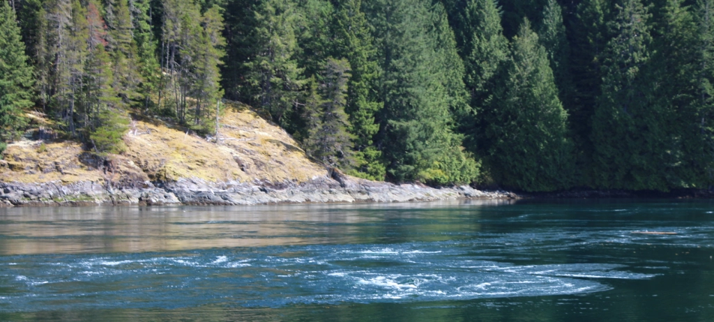
Damn! We missed our slack water window!

I personally have a strong preference for freestanding GPS units over phone or tablet apps. Part of that is probably just intellectual inertia: I’ve been using GPS-specific devices for decades and am very familiar and comfortable with them. But there are practical reasons as well: I prefer actually owning the unit and the data in it to renting an app on a subscription basis. I’ve heard too many horror stories of companies nickel-and-diming their subscribers with fee increases, reducing or bricking functionalities when pushing out upgrades you can’t opt out of, or orphaning apps when they go out of business. I also prefer not having all my electronic eggs in one basket: if I lose my navigation functions for whatever reason, I don’t want to have also lost my phone functions, or vice-versa. Last, but far from least, it’s much easier to operate real buttons than a touchscreen through the plastic window of a waterproof soft case.*

 *You absolutely do want cases for your GPSs and phones, notwithstanding any manufacturer’s claims about their integral waterproofness. The one time I insufficiently sealed my soft case, then knocked it into the sea while docking, the supposedly waterproof GPS inside drowned itself in a fit of pique.   

Despite my personal preferences for stand-alone GPSs, I can see the case, so to speak, for navigational apps such as Navionics or savvy navvy. They make for one less physical gadget to buy and carry (and for reduced end-of-life e-waste). Plus, to a generation accustomed to downloading apps for everything from ordering dinner to help with stargazing, I’m sure that instantly adding one more functionality to your phone just feels simpler and more intuitive.

That said, I just recently upgraded my ancient (but still operating) Garmin GPSmap 76Cx to Garmin’s GPSmap 276Cx. The new unit is a bit bigger than the old one, which sounds like a retrograde step. But that’s actually a feature, not a bug: the significantly larger screen makes chart details much easier for my elderly eyeballs to read. 
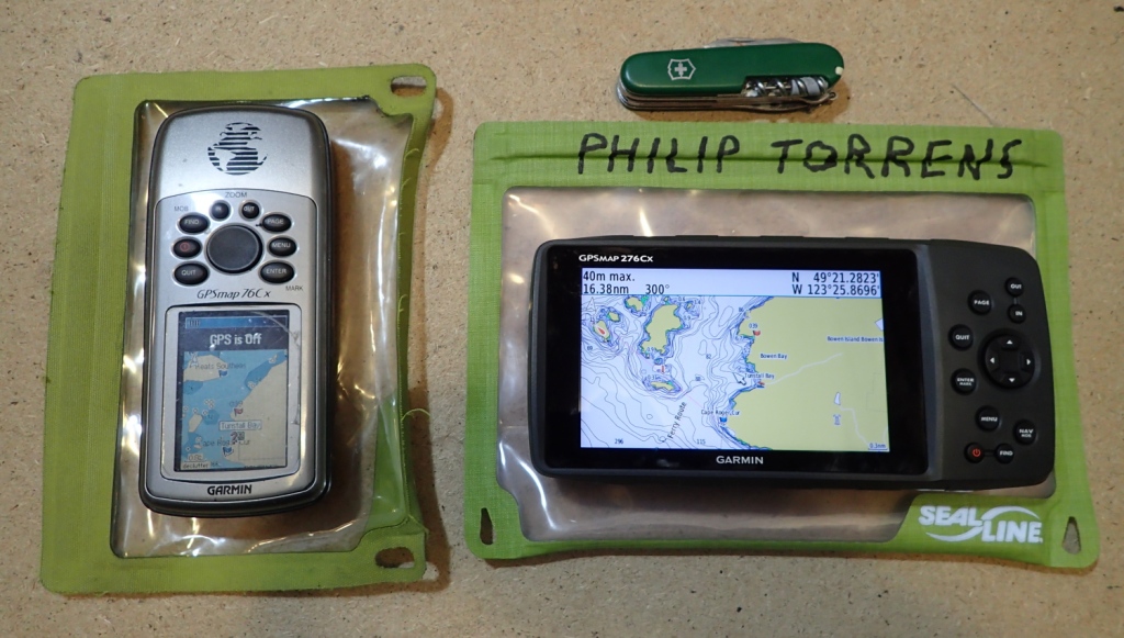
Showing the Garmin GPSmap 76Cx GPS and the Garmin GPSmap 276Cx side-by-side to allow comparison of the screen sizes
Size matters: the relative screen sizes of the Garmin GPSmap 76Cx GPS and the Garmin GPSmap 276Cx. Pocket knife for scale.

Which leads us to an important way GPSs work best alongside hardcopy charts rather than in lieu of them: even the larger screen on my new GPS is only about 2.5” x 4.25”, while the “screen size” of my smallest chart bag is about 9” x 12” (and I have larger ones). Meaning the paper chart covers more area in more detail than the map page of even the largest tablet you’d care to mount on your foredeck. And all at-a-glance, fully sunlight-readable, no zooming or panning-and-scanning required. So when you’ve blundered into the thick of Shipwreck Rocks to find larger-than-forecast swells running, you can use your GPS’s chart page to determine your precise position in relation to immediate local hazards, and the big picture from your paper chart to ensure that the escape route you’re improvising doesn’t turn out to be a literal deadend.
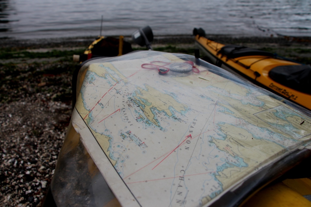
Showing a chart in a chart bag on the deck of a sea kayak, for comparison to the "map" page of a portable GPS.
The “map page” of a chart bag. More coverage, more quickly than with any GPS or tablet.

Less urgently, but still usefully: during pre-trip planning at home, you can use the big screen of your computer to scroll electronic charts, and point-and-click waypoints and routes to download to your GPS. But you won’t have that computer with you in camp as you plan the next day’s voyage, often switching things up from your original ideas based on field experience of the area. Rather than just squinting through the letterbox slot of your GPS screen, use your paper charts for big picture planning, then scroll to add any additional required waypoints on the GPS.

Similarly, I prefer to use my GPS in conjunction with, not in replacement for, my old school magnetic compass. Why? Imagine yourself paddling a long crossing directed solely by your GPS. See how pretty is the pixel picture it paints of the virtual world on its chart page! See how it counts down the distance and ETA to your destination in such encouragingly bite-sized increments! See how precisely its compass arrow points the way! See the spiked deadhead log you’ve just punctured the bow of your boat against! Oh, wait – why didn’t you see that? Because your eyes were magpied by those shiny moving screens, distracted in the same way that drivers become intexticated by their phones. 

Less lethally, but still tragically, there’s much else you might miss when bowing to the electronic idol on your spraydeck shrine: the bright flash of a passing puffin, or the soft roil of migrating humpbacks, or a baby sea otter bobbing expectantly as it waits for mom to surface with breakfast, or any of the million-and-one things you are presumably out there paddling in order to experience.

How to avoid missing all that? Set your GPS to display the compass bearing to your target waypoint (use the settings menu to ensure it’s displaying a magnetic bearing rather than a true North bearing, and that it is autocorrected for local magnetic variation). Check this reading periodically as you paddle, but actually steer by the bow compass on your kayak. Result: with your head up and your eyes focused for distance, you’ll have much expanded situational awareness (and much reduced susceptibility to seasickness). And if the GPS should decide to shit its pants (sorry about that technical mumbo-jumbo) mid-crossing, reverting to the deck compass for navigation is smooth and panic-free, since you’re already using it to steer to the last known bearing to your waypoint. (Based on how that bearing was changing up to the point of GPS failure, you’ll know whether you were being drifted to the left or to the right, and hence which way to turn to find camp once you hit the shoreline.) 
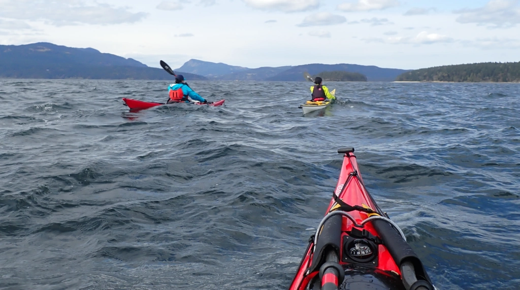
In choppy water, a bow compass is a far less (sea) sickening sight than a GPS on your spraydeck.

BTY, Class D/Class H handheld marine VHF radios have integrated GPSs, and therefore offer navigation pages with a compass pointing to your selected waypoint. But none that I know of offer full marine chart pages (yet – the market is always evolving!) So the navigation experience they offer looks and feels like that of stand-alone GPSs from two decades ago. Also, I like to have my VHF in a holster on my PFD, rather than on the deck, in case of separation from my kayak (When it comes to emergency equipment: If you don’t have it on you—you don’t have it!) So for those reasons, I’d never rely on my radio as my primary electronic navigation tool. That said, if I found myself in swirling fog and currents, uncertain of my position and with my primary GPS inoperable, I would absolutely use the VHF GPS for my Hail Mary play.

Aside from the sheer satisfaction of using the traditional skills and technology of charts and compass, and the sense of connection that gives me with all the generations of seafarers who have come before me, there is that practical benefit of redundancy in the event of equipment failure. (I felt a smug sense of vindication when I learned that the US Navy, after having skipped celestial navigation training for an entire generation of officers on the grounds that GPS had rendered it obsolete, brought back sextant schooling several years ago.)

So think of compasses and charts and hardcopy tide and current tables not as low tech but as highly robust tech. If none of them had previously existed and someone introduced them today as a navigation suite that doesn’t depend on satellites or subscriptions, never needs batteries, is pretty much impervious to salt water damage, and is immune to spoofing*, that would sound pretty damn amazing. As it is!
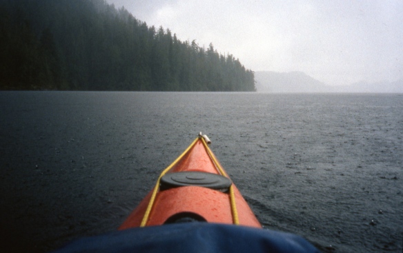
*With the exception of the “self spoofing” you can accomplish by packing your steel hatchet in the bow compartment just under your deck compass. Or by letting the magnetic clasps on your waterproof phone case swing too close to the hiker’s compass in your chart bag. You deviants

Midwinter Paddling: to the Pasley Islands in Howe Sound, BC

Featured

January 21, 2024

The relentless icy rain this Sunday morning was pretty uninspiring. But we thirteen Jericho Beach Kayak guides had committed to a group daytrip weeks before. So we had a certain professional pride (plus a gender-neutral machismo) that dissuaded any of us from chickening out in front of our peers.

We waded through a small ice-water lake in front of the Jericho Beach Kayak hut to schlep the boats out to the roof racks waiting on our vehicles (the prudent—or at least the so-equipped—of us had heeded EJ’s suggestion to bring boots for this portage.)

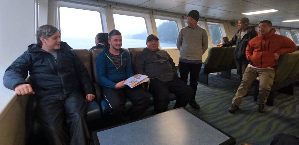
Our little car convoy made fine time to the Horsebay Ferry Terminal, and caught the 10AM something boat across to Nex̱wlélex̱wm/Bowen Island. Enroute, we had a quick huddle in the passenger lounge to confirm launching, the paddle plan and radio channels.

final pre-paddle briefing on the ferry

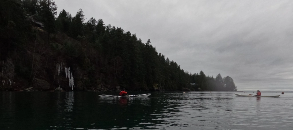
As if to reward us for our perseverance, the rain stopped just as we launched from Tunstall Bay at noon. On the cliffy south side of the bay, a frozen waterfall testified to the unseasonably cold weather of the previous week.

Ice, ice, baby! A frozen waterfall on the south side of Tunstall Bay
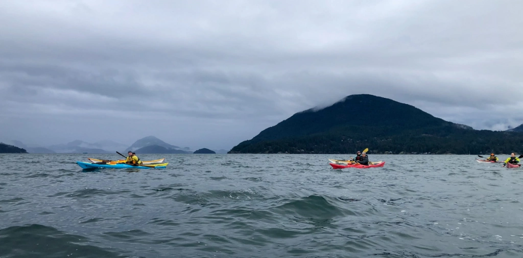
Enroute to Worlcombe Island

As we approached Worlcombe Island, we could see vast flocks of large birds gyring above the treetops. They proved not to be vultures lurking for under-prepared kayakers, but eagles young and old. (They’re clearly visible at this point in my buddy Mike’s video of our outing.)

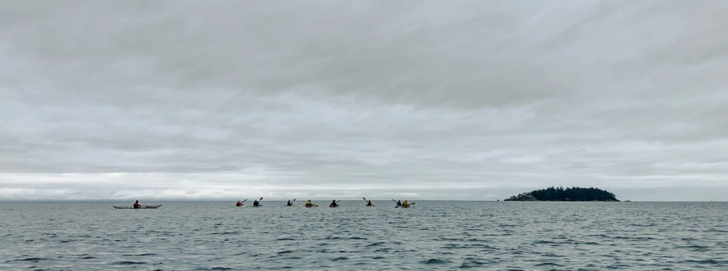
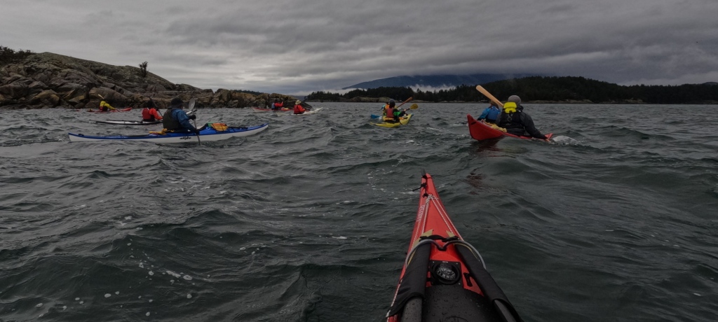
Along the north side of Worlcombe Island

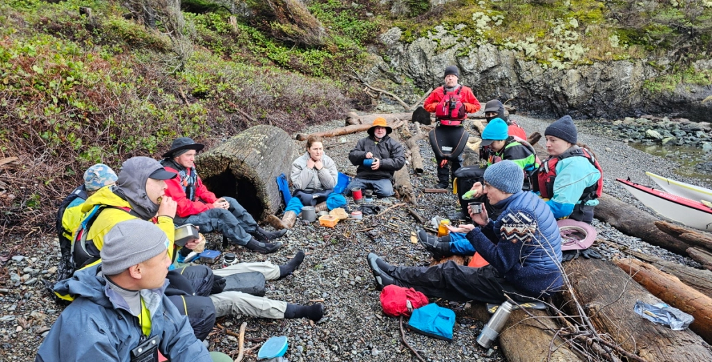
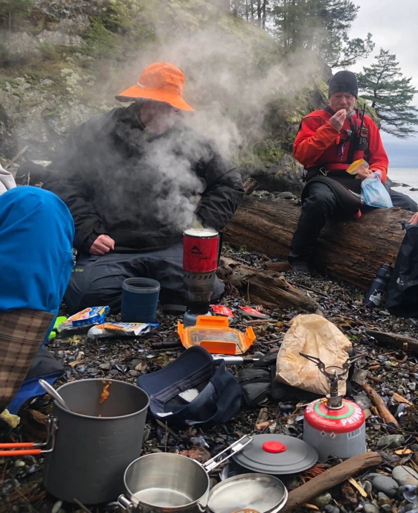
We alit a little after 1PM in a small bay at the southwest tip of Pasley Island. In summer, I wouldn’t bother firing up a stove for lunch, but in winter, it’s nice to stoke the inner fires with pre-warmed fuel. So my trusty WindBurner stove came into play. It was not only mucho fast but also provided much amusement for my tripmates, as the vast clouds of steam made it look like I was either improvising a sauna or preparing to do a magician’s disappearing act.

It being the offseason, the homes on the upland above our picnic spot were not occupied. This was fortunate, since it meant that those of us who lined up facing the southern rockwall to take the necessary pre-launch precautions to ensure our drysuits would remain dry for the next leg of the voyage were not accosted by irate cottagers. 

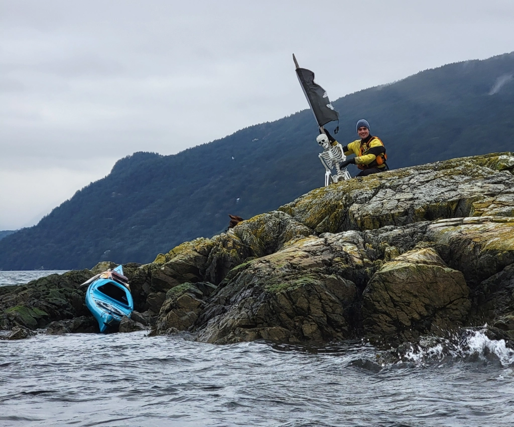
On an offshore rock near the northwest tip of Pasley, we spotted a bleached white skeleton. This was not a kayaker who’d been marooned by an insufficiently secured boat, but a brilliant bit of sculpture installed by an unknown artist for the delight of passing boaters. It even included an appropriately wind-tattered pirate flag.

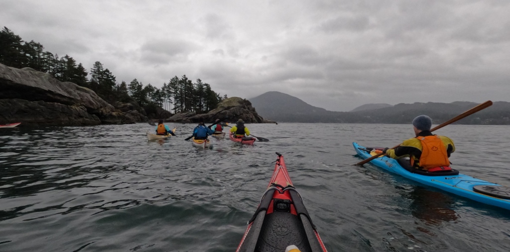
Somewhere between our boney friend’s reef and Mickey Island, the rain began to fall intermittently. But it had held off for our lunch stop and was pretty tolerable while we were buttoned up in our boats and pumping out body heat with every stroke.

As we bobbed in the lee of Mickey Island, confirming our course home and who was leading the next leg of the trip (me, as it happened), swooping and diving seagulls just off the point on Pasley Island south of us showed something was afoot (or perhaps, afin). And as we got nearer, swirls and splashes from beneath the sea, like reversed raindrops, confirmed that fish were being herded up from below. Sure enough, enormous thick brown necks suddenly broke the surface, accompanied by huffs and snorts. (As an aside: I’ve been within paddle-poking distance of Orca more than once over the years, but I continue to be more wary of sealions than killer whales. Still, I comforted myself with the idea that if they decided they were tired of seafood and wanted a little red meat, the odds were only one in thirteen I’d be dinner!) The sealions are best visible at this mark in Mike’s video.

Switching leaders once more at the western tip of Worlcombe, we handrailed along its south shore, encountering more sealions on route. They proved pretty camera-shy, appearing only in the distance anytime I had my Go-Pro in hand.

along the south shore of Worlcombe Island

We landed back in Tunstall Bay a bit after 4PM, with a rain falling so steadily I opted not to change out of my drysuit, but to drive to the ferry terminal still wearing it.

The last of us rolled onto the five-something ferry just moments before it sailed, as if it were our own personal, private transportation. Upstairs in the passenger lounge, we ambushed one of our number, whose birthday it happened to be, with donuts and singing.

After offloading the boats back at Jericho Beach Kayak, we supped at the Wolf And Hound. It’s amazing how many of our adventures end there. It’s almost become our off-season office!

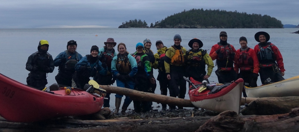
The fabulous thirteen!
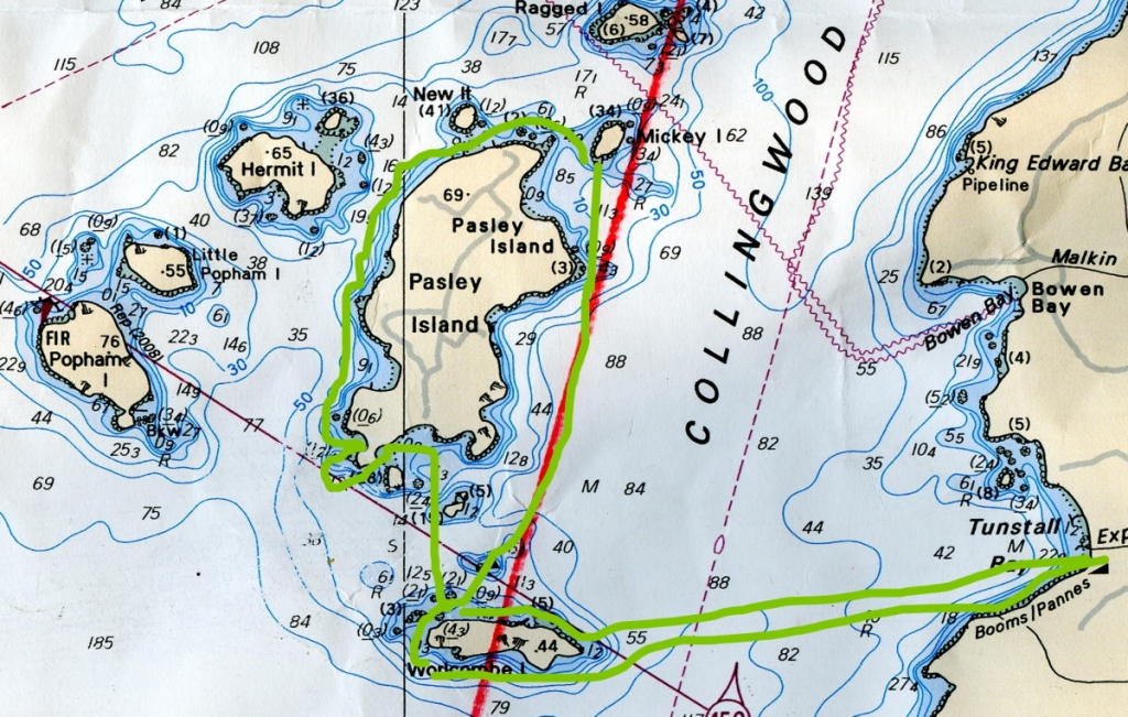
a chart of Bowen Island and the Pasley Islands in Howe Sound, British Columbia, showing the route of our kayak daytrip
the route of our daytrip

Thanks to all my colleagues for the pleasure of their company, and to Mika, Chris, Natalie, Tomo, Warren, and EJ for sharing pictures for this post.

Leveling Up: assisting on a Paddle Canada Sea Kayaking Level 2 course

Featured

I hugely enjoy my work as a sea kayak instructor, but since I’m only certified to teach up to Paddle Canada’s Sea Kayaking Level 1 on my own, I usually just get to paddle locally in the Iy̓ál̓mexw/Ayyulshun (Jericho Beach/English Bay) area with my students. So when the opportunity arose to assistant-instruct on a Paddle Canada Level 2 Sea Kayaking course, with three days and two nights away in Átl’ka7tsem/Txwnéwu7ts (Howe Sound), I was in faster than you can say “re-entry roll”!

Sweetening the pot was the fact that my friend and colleague, Mike McHolm, would be the lead instructor on the course. I’ve known Mike since he was a customer at the late, lamented Ecomarine. Mike absolutely caught fire as a kayaker, and recently earned his Paddle Canada Sea Kayaking Level 4 (for those not in the know, that’s about one step below being able to calm the seas and walk on the water.)

Mike and I have co-instructed on Paddle Canada Beginner Sea Kayaking and Intermediate (Level 1) courses before, and found we have nicely complementary skill sets: he’s the master of advanced strokes, braces, scrambles and rolls; I’ve got a solid background of practical experience with extended touring and navigation.

The prep for the trip portion of the course included two intense days of on-water and on-shore instruction at Jericho Beach over the September 16-17 weekend. As it happened, three of the six students in this Level 2 course were graduates of a Paddle Canada Level 1 course I’d taught the weekend before.    

September 29, 2023

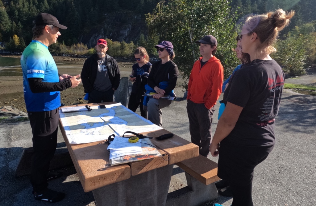
A bit after 8AM, Mike and I rolled into Xwawchayay (Porteau Cove) in the Yakmobile (a Yukon truck with a custom-made roof rack that can accommodate up to ten kayaks). As we offloaded the boats, our students joined us. The usual knocked-over-anthill scurrying about ensued, as we all packed our kayaks for the first time on this trip. Next, we had a pre-launch meeting, where we went over “Me, We, and The Sea”, reviewed some compass navigation and dead reckoning techniques, confirmed our planned route, and designated lead and sweep paddlers.

sea kayak students at a prelaunch briefing
prelaunch briefing at Xwawchayay/Porteau Cove

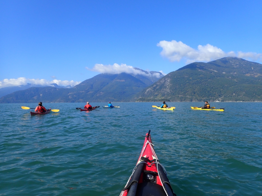
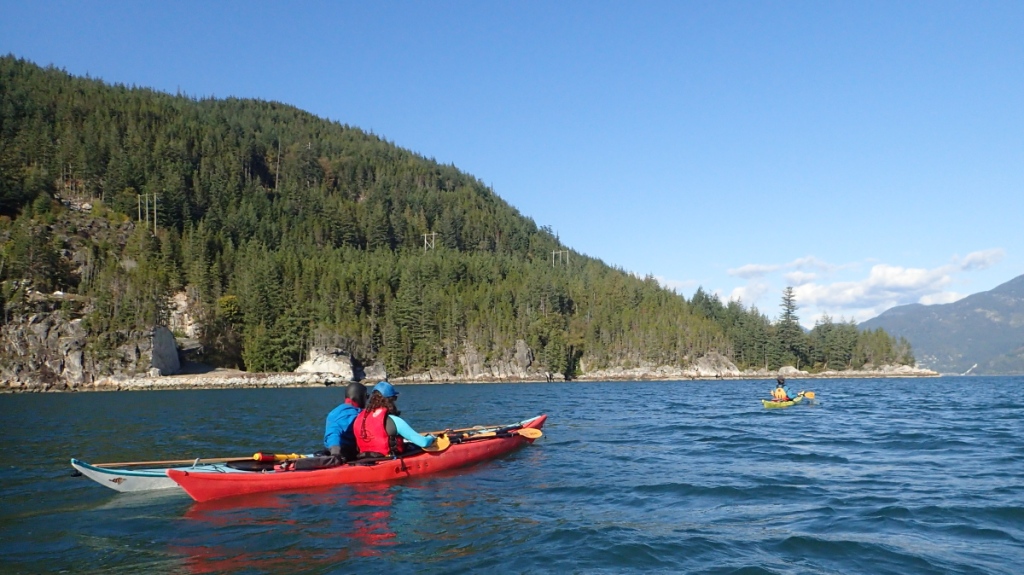
We launched around 12:15PM onto calm and sunny seas, course set for the Defence Islands. About 45 minutes later we hit the gap between them, pretty much bang on our time-distance-speed prediction. 

sea kayakers crossing to the Defence Islands in Howe Sound, British Columbia
Crossing to the Defence Islands

From there, we handrailed along the shoreline to Ts’itpsm (Zorro Bay), practicing our bow and stern rudders as we went. The slight inflow wind that had picked up nudged us gently on our way.

Our class included many with prior sea kayaking experience, including Chessy, who’s previously paddled with Mike in some serious seas. She entertained us (and cooled herself off) by nonchalantly popping off both paddle and hand rolls enroute.

a sea kayaker handrolls her kayak
Chessy handrolls

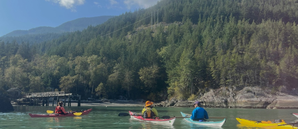
We arrived at Zorro Bay to find, amazingly for a long weekend with such nice weather, that we had it all to ourselves. Some of us doubled up our tents on the pads sites to leave at least one platform open for possible later arrivals.

sea kayakers arriving at Zorro Bay/Ts’itpsm, Howe Sound, British Columbia
Arriving at Zorro Bay/Ts’itpsm. That’s me in the attractive orange Nor’western hat. Thanks to Julia for this image.

At about 15:30, we relaunched into the bay to work on bow and stern rudders and hanging draws. The shallow waters of the bay were turquoise, which combined with the sunshine to create an almost tropical vibe.

Actually performing a roll is not a requirement to pass Sea Kayaking Level 2: you’ve just got to be able to demonstrate you understand the theory. But Mike had led a rolling session during our pre-trip prep weekend, and some students had really gotten into it, among them Leah. Spotted by Chessy (she who had demonstrated hand rolls earlier), Leah pulled off a few paddle rolls herself before coming ashore.

Mike McHolm sea kayak instructing

stern rudder practice in Zorro Bay

Evening class was on knots and ropework as related to rigging tarps over tents and kitchens. Fortunately, this was all merely theoretical, as the clear skies continued.

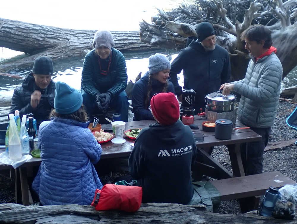
With all this learning, we dined European-style late. The main course was a spicy dish of noodles in peanut sauce with stir-fried veggies, including wild-harvested mushrooms courtesy of Claus and Alysia (since none of us started tripping out or tripping over, we can assume they know their ‘shrooms.) For dessert, I heated a deep-dish apple pie in my Outback Oven ‘til it had a convincingly fresh-baked feel, then topped it with real, albeit aerosol-can, whipped cream. (In response to questions from the class, I did acknowledge that I’m not always sure whether I eat in order to kayak tour, or kayak tour in order to eat…)

I got to bed about 10PM. Initially it was warm enough that I merely draped my winter-weight down bag over myself duvet-style, but later in the night things cooled down enough that I burrowed into it full mummy-style, and was glad to have the option: crawling out of bed pre-chilled in the morning is not inspiring for a day of challenging paddling.

September 30, 2023

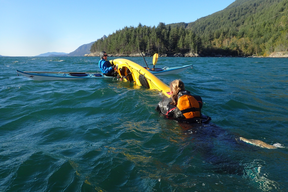
I made my way down to the beach to find warm and sunny conditions, with the water outside the bay windy with whitecaps – perfect Level 2 conditions (it’s a requirement for passing the course that students complete at least some paddling in waves with winds in the 19 knots range.) Tragically, the wind and waves died shortly after we launched at about 10:40. So all the students, who were attempting cowboy scramble re-entries (and reverting to paddlefloat re-entries if they couldn’t pull one off), got to swim in calm water.

It’s worth noting that Level 2 is the point at which instructors begin to stress test students a bit. It’s not stress for the sake of stress: it’s because, as Mike noted during class, overnight trips are getting into life-and-death decision territory, so it’s better to learn lessons from mistakes in practice than “for real”. It was in that spirit that I yanked an insufficiently-secured paddlefloat off the end of one student’s paddle during their re-entry. As I explained to them later on shore: if you think I was being harsh and unforgiving, imagine how harsh and unforgiving one metre seas would be. Fortunately the student understood my point completely, and no hard feelings resulted. 

After reviewing the bow and stern rudder and the hanging draw, we handrailed south along the shore towards Lhemlhemḵwús (Islet View) campsite. Enroute, Mike encouraged the students to head at maximum speed straight at a convenient cliff. This was not so much to test the strength of their kayaks; it was more to encourage them to deploy a low or high brace turn effectively!

sea kayak practice: a paddler uses a high-brace turn to avoid ramming a cliff with their kayak.
Putting his money where his mouth is: Mike McHolm uses a last-minute high-brace turn to avoid turning his very expensive sea kayak into very expensive kindling.

We landed at Islet View about 12:40. Shortly afterwards, a family arrived in a small RIB stacked high with camping gear and were visibly relieved to discover that the eight of us paddling riff-raff were just there for lunch. As Mike went over the shore lesson (the signs of and responses to hypo and hyperthermia), several of his friends from SKABC paddled in.

Ashore at Lhemlhemḵwúss/Islet View campsite, Howe Sound

We relaunched about 14:20, and did tows with both throwlines and towlines, working up to towing a victim who needed to be stabilized by being rafted with a second rescuer. This culminated in teams of three – two rescuers, one hypothermic capsize victim – towing a patient back to Zorro Bay, and setting up a rewarming “burrito”.

sea kayak rescue practice:  as one rescuer tows a "hypothermic capsize victim" a second rescuer is rafted up with the sometime swimmer to prevent a recapsize.
Tow me the way to go home: as one rescuer tows a “hypothermic capsize victim” a second rescuer is rafted up with the sometime swimmer to prevent a recapsize.
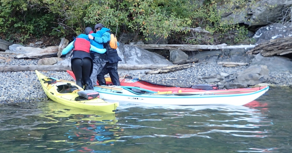
sea kayak rescue practice: rescuers help a simulated hypothermia victim out of her boat and onto the shore
Helping hands: the rescuers help the hypothermia victim out of her boat and onto the shore.
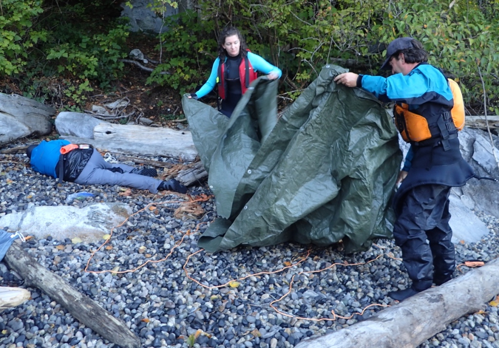
sea kayak rescue training: as a simulated hypothermia victim waits in the recovery position, two rescuers lay out a "burrito" for rewarming her.
Taco Time: as simulated hypothermia victim Chessy waits in the recovery position, Julia and Drew lay out a “burrito” for rewarming her.

Leah was once again keen to practice her rolls before supper, so I spotted her, occasionally offering my bow for a bow rescue. She returned the favour when I was ready to try a few. Fortunately for my instructor honour, no bow rescue was needed — all my rolls worked, though it has to be said that none of them were pretty or “demonstration quality.” Leah generously proffered the rationale that this was because we’d had a long, tiring day, and I gratefully seized on this pretext like, er, a kayaker who’s repeatedly failed their roll grabbing a friendly bow.

My drysuit insulation layers were mildly damp from a combination of sweat and slight seepage during my rolls. It was too late in the day to sun-dry them, so I used a trick from my days touring on the Northern wet coast: layering them onto the gear loft in my tent, then suspending a lit candle lantern a safe distance below. The gentle heat dries out the moisture and, as a bonus, provides a welcoming beacon for finding your tent after dark.

Drew and Julia were on supper duty, and did not disappoint: an excellent home-made chili with grated cheese, sour cream, bread and all the trimmings. I was once again the dessert chef. Tonight’s course was assorted Auntie’s Puddings. I hadn’t been able to fit the microwave oven recommended for reheating them into my skeg kayak, so I simmered them in hot water for 20 minutes instead. While that was happening I whipped up the instant custard without which no proper English dessert is complete. (I briefly thought I’d made far too much custard, but Leah and Julia actually hoarded the surplus in a water bottle overnight and added it to their breakfasts the next morning in lieu of milk!)

We were not the only mammals who dined well: as a shriek from the direction of the food cache box announced, Mike’s improvised fix to the box’s rusted-out bottom (piled-up gravel and rocks) had failed to keep out the mice. Fortunately, nothing critical was spoiled, and we moved our remaining provisions to the greater safety of the kayaks.

It was a working supper: as we ate, we covered Collision Regulations, Environmental Impact, Tool/Repair Kits and Indigenous Relations and Considerations (the latter especially appropriate as today was the National Day for Truth and Reconciliation, plus we were camped on First Nations Land generously made available as a water-access site.)

October 1, 2023

Determined not to be robbed of rougher conditions again, Mike had us all on the water shortly before 9AM. The sea state was a satisfactory brew of whitecaps and wind.

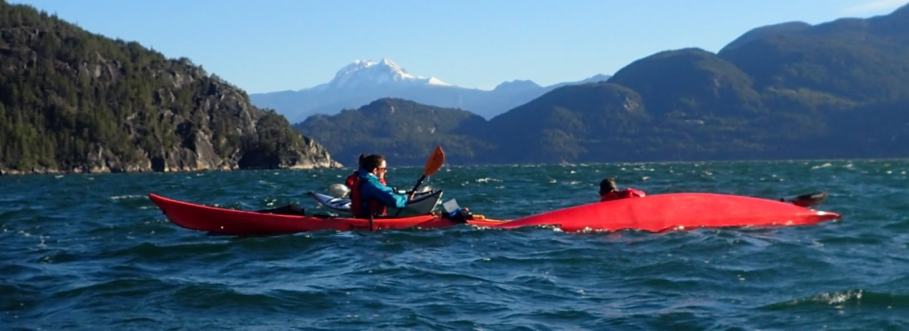
Making waves: rescue practice in rougher water
sea kayaking rescue practice: one sea kayaker offers the bow of her kayak to a capsized paddler, so the upside down paddler can roll up without having to wet exit their boat.
Bow rescue practice. For her first several capsizes, Chessy instinctively rolled up before Leah could “rescue” her. She had to make a conscious decision to refrain from rolling for this attempt.
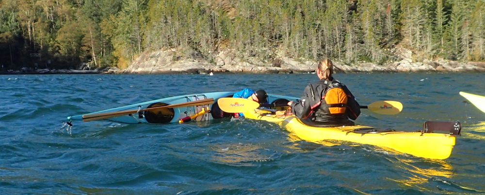
sea kayak rescue practice: one kayaker uses the T-rescue technique to empty the boat of a capsized paddler prior to helping them reboard.
Returning the favour: Chessy T-rescues Leah in Level 2 conditions.

As expected, the class found all their maneuvers, from turns to re-entries, rather more challenging in sporty water. But when you think about it, bouncy seas are exactly the conditions in which you’re more likely to need braces, rolls or re-entries. So best to practice in realistic conditions. Enroute back to shore, the class got to use their stern rudders “for real” to keep their boats from being broached by the following seas.

We packed up camp while eating an early lunch, then launched for Porteau Cove, via a dogleg at Furry Creek. Enroute, Mike and I debriefed several of the students two-on-one.

Once we were just off Porteau Cove, a bit inshore of the buoys marking the sunken ship dive site, we did the final class exercise: an “all in” with everyone wet-exited and helping one another back into their boats.

Everyone in for the swim: an “all in” rescue at Porteau Cove

We landed, took advantage of the outdoor showers meant for the Porteau Cove divers to rinse the salt water off our immersion wear, skirts and PFDs, then packed up, including reloading several kayaks onto the yakmobile — that went a lot faster with a crowd of willing hands than it had on Thursday evening when Mike and I had been doing it ourselves at Jericho Beach Kayak. As we completed all this, we could see rain clouds moving in, proof that our timing had been perfect, weather-wise (and it was wonderful when unpacking at home not to be wrestling with wet and muddy gear).

Mike and I finished debriefing the remaining students, then said our congratulations and farewells. Holiday traffic meant it was fairly late in the day by the time we were back at Jericho Beach Kayak and offloading the boats, so we were both pretty bushed, and much overdue for showers (drysuits keep out the brine but seal in sweat and body odour with equal effectiveness). However, the satisfaction of having worked with a wonderful group of people and helped them towards new adventures kept us energized!

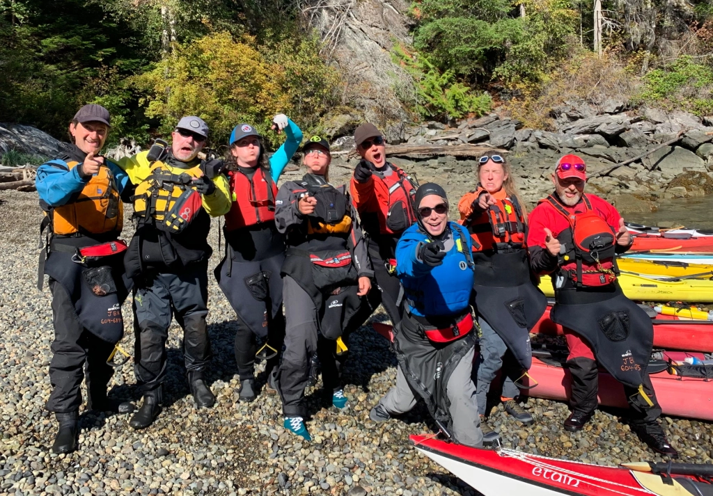
Putting the best face on things: all students and instructors looking alert!

Update: my fellow instructor Mike made a short video about the weekend that will give you a better sense of what dynamic water looks like.

Different Angles On Sea Kayak Compass Navigation

If you’ve done any map/chart and compass navigation at all, you’ve wrestled with the inconvenient truth: with some very limited local exceptions, in most parts of the world, the needle on your compass does not point to the true North pole (the Northern tip of the axis around which the Earth revolves, also known as the geographic North pole); instead, that needle usually points to the magnetic North pole. Sort of. Because what that needle is actually doing is aligning itself with the local magnetic field of the Earth. And those local fields are heavily influenced by currents and counter-currents in the sea of molten iron that swirls far below the Earth’s outer crust.

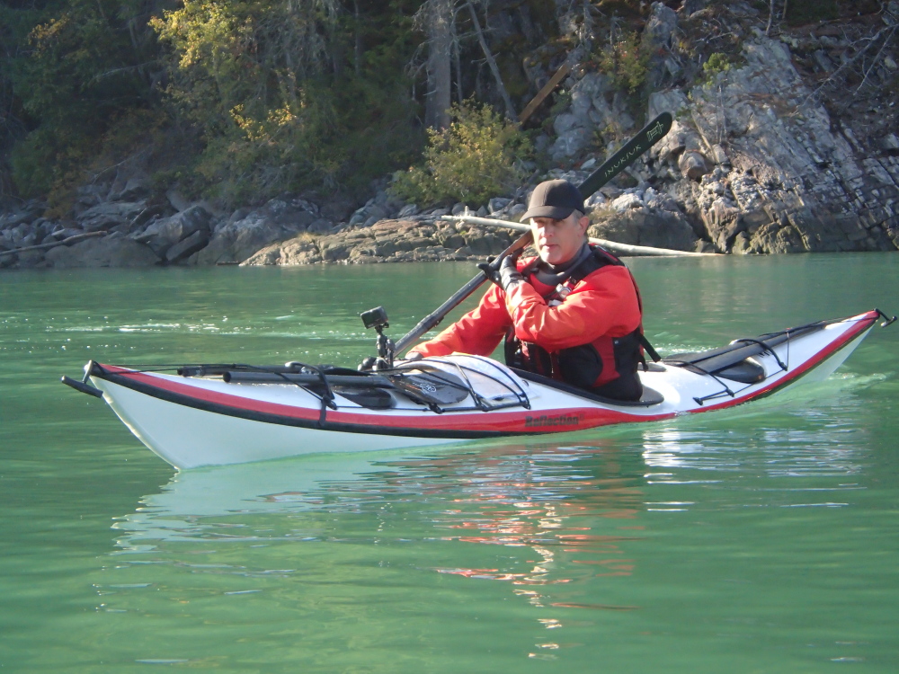
kayak deck compass with sail reflection
Continue reading

The Trip That Wasn’t (Part 2)

August 20, 2001

Though I had set my watch alarm for 6:30AM, when my bladder alarm went off at 3:30AM, the wind was howling fiercely through the trees and the barometer had continued to fall. I switched off the clock alarm and slept in until 8AM – which was fine: as it turns out the wind continues to blow against me and whitehorses gallop north through the passage as far as the eye can see.

Continue reading

Valhalla Warrior: Solo Kayaking And Hiking On Slocan Lake, Part 2

July 12, 2003
I slept until 7:00, clearly tired out after my hike down from the hills yesterday. What with breaking camp and chatting with my neighbours, I didn’t launch until 10AM.


a sea kayaker paddles down a lakeIt was a perfect morning’s paddling. I came across two sunken barges, easily visible in the clear, fresh water. Like shipwrecks in the sea, these old hulks act as reefs and nurseries for life. They swarm with minnows and a few full-grown trout. Continue reading

Predatory Rites: Finding one’s place in the Polar food chain

a tent wrecked by a bear attack

The tent post-attack. Sorry for the shaky picture; I was still pretty shaky myself.

There is nothing quite like the experience of nearly being eaten to make you appreciate how fleeting your position atop the food chain is. In the summer of 1993, I became one of the lucky few to acquire this sort of insight.

Backcountry tourists, as opposed to those who live in the wilderness, seem to fall into two equally simple-minded groups. Those of the old school are convinced that behind every bush, a predator lurks expressly for them. They are barely able to stagger down trails under the burden of rifles and grenade launchers. Late-night forays to answer the call of nature are made perilous by the razor wire and minefields they have used to “secure” the camp perimeter. These folks have delusions about their own importance in the scheme of things. Continue reading

Paddling The Past: Solo Sea Kayaking Kyuquot Sound, September 1994 Part 2

the mouth of Johnson Lagoon, a tidal inlet

When the weather and my sickness lift, I return to the entrance of Johnson Lagoon. This time, I have scheduled my approach better: like the gate of a fairytale kingdom that opens to only a few, the current admits me. Not wanting to have to wait half a day for the next slack, I leave the lagoon less than two hours later. Already the current is coursing in a strong ebb. It’s with me, but this is a mixed blessing. While I don’t have to fight against it, it also means there is no retreat once I’ve neared the mouth of the lagoon. The virtues of a kayak optimized for touring—its length, straight line speed, and resistance to turning—are liabilities in what is effectively a whitewater river. It’s like doing a downhill slalom on cross-country skis. After a couple of heart-racing minutes, I am flushed out onto the open sea, very glad not to have left my departure any later. Continue reading

Paddling The Past: Solo Sea Kayaking Kyuquot Sound, September 1994. Part 1

A sea kayak makes its way through heavy rain

As I round the tip of Whitely Island into the long Pacific swell, the bow of my kayak lifts like the head of a stallion eager for rolling, open country after miles of narrow trails. The first leg of my solo paddle from Fair Harbour has run through sheltered channels, and my boat seems to welcome a greater challenge. As do I. For the past several hours, the weather has been what the Irish euphemistically call “soft”—meaning it has varied from gently curling mist to torrential downpours that have hissed on the surface of the water like oil on a hot frying pan. Now the clouds have parted, making the final hour of paddling to Rugged Point pleasantly dry.

Continue reading

Sea Kayaking Around Cape Scott, Part 2

A trip from a time before digital photography.

August 25, 1999 We awoke to a mix of blue sky and clouds, and no rain! With a forecast for 15 knot westerly winds, we made the decision to go for rounding Cape Scott today, and got launched about 9:45AM. Even as we crossed Experiment Bight, we could see foam from swells breaking on rocks north of Cape Scott.

Near the north of the cape, Stania was startled by a sea lion surfacing with an explosive snort just behind her. He torpedoed past our bows, glaring back as he paced us. Just then we noticed, in a kelp bed a couple of hundred feet away, the front flippers of numerous sleeping sea lions, presumably our escort’s harem. By this time we’d passed our closest point of approach to the ladies, so as much as one can tiptoe in a kayak, we tiptoed away, while trying to project soothing vibes to the effect of “We have no designs on your wives, lovely and blubbery though they all are, we’re sure.”

Continue reading