Prologue: Back in the day, all the available members of Westcoastpaddler used to have an annual meet-up on Portland Island on the last weekend of April. What with COVID and one thing and another, it had been years since this had happened. So as co-owner of WCP, I was very excited when we decided to renew the tradition this year.
April 25, 2025
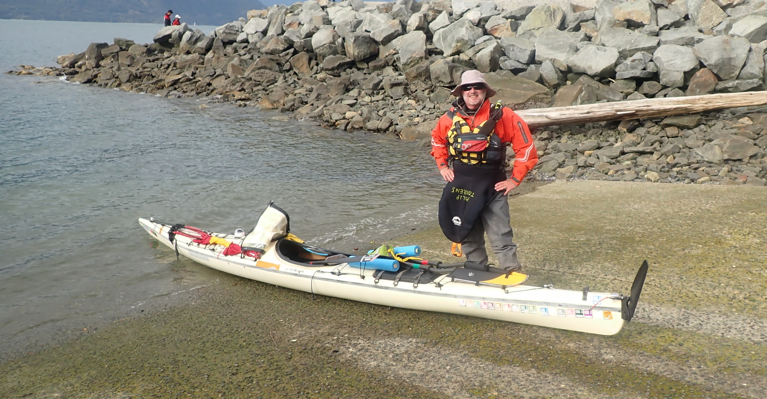
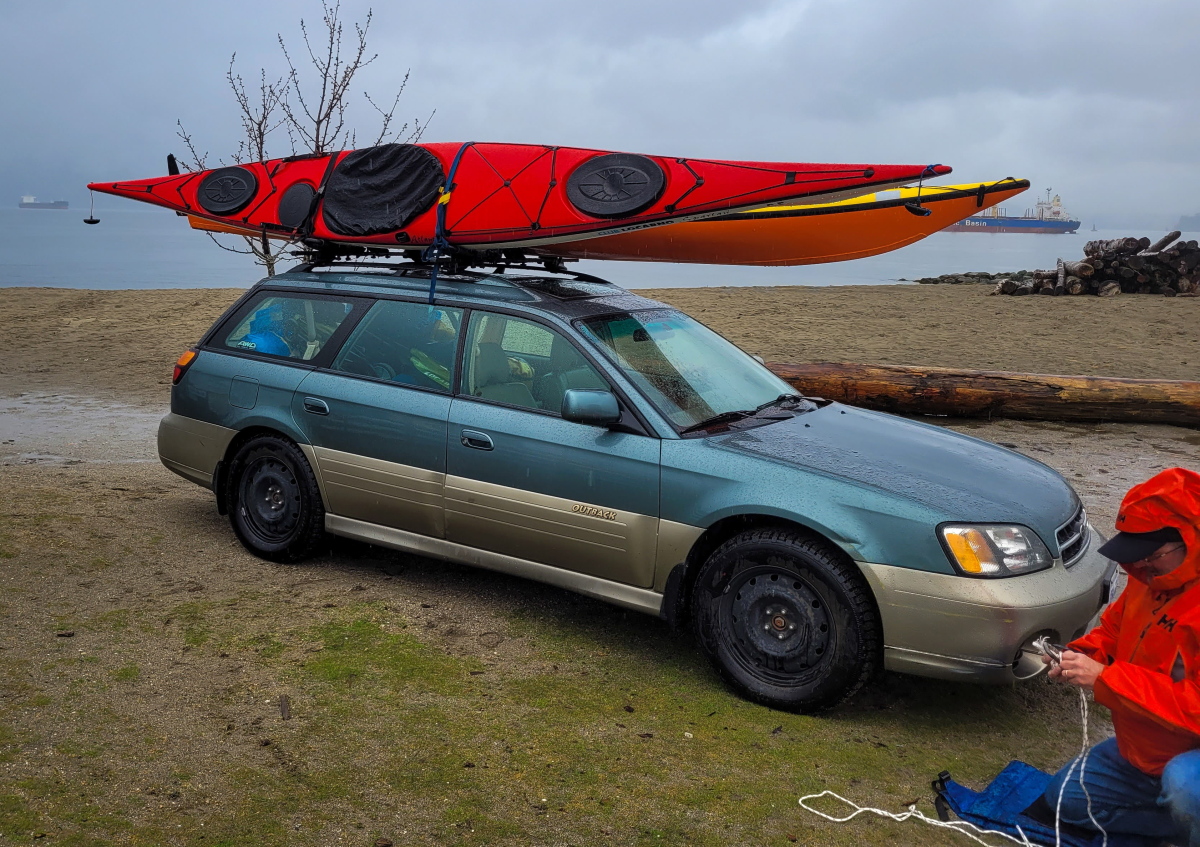
I drove into the long term parking at Tsawwassen ferry terminal shortly after 9AM. It might have seemed ridiculously early for an 11AM sailing, but I like to have time in hand to deal with curveball crises. Which proved to be a good idea: as I pulled my kayak cart wheels out, I was hit by a letdown feeling: both tires were so flaccid that they’d have rolled right off the rims under the load of my kayak and the weekend’s cargo. After a frantic few moments, I remembered I had an electric pump for my car tires in the back – and fortunately the valve fitting was also right for the kayak wheels. With the tires once again fully tumescent, I heaved the boat on the cart, and the cargo into the boat.
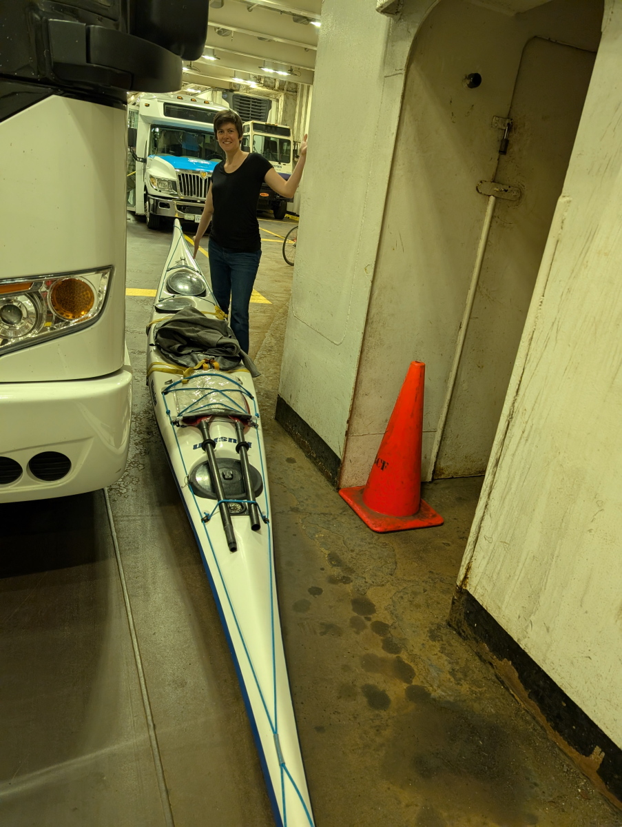
Wheeling up to the foot passenger wicket, I spotted a beautiful skeg kayak on a much more compact cart. And soon found Alana in the line up. We brunched on burgers on the ferry and compared notes. At Swartz Bay, Alana wheeled off towards the public dock to launch; I rolled over to the ferry to Fulford Harbour.

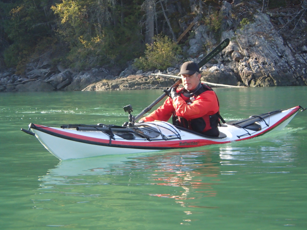
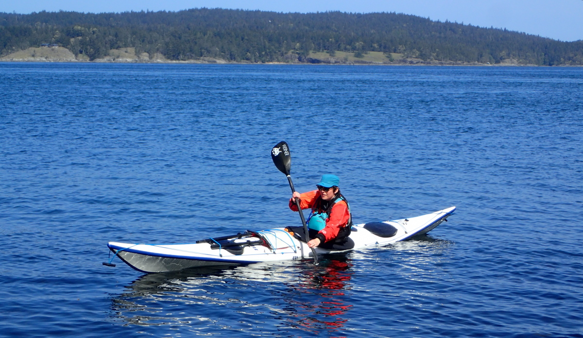
My cunning plan was to put in at Fulford Harbour, supposedly upwind from Arbutus Point based on the forecast, raise my kayak sail and glide effortlessly down to camp. Like many cunning plans, it hit several snags. Firstly as I launched, I discovered the metal bracket guiding the rudder lift/lower line had broken off, so I couldn’t raise or lower the rudder from the cockpit. But that was rather a moot point since (secondly) as soon as I put my feet on the foot pedals, the swaged copper stopper holding the right rudder cable end popped off. So I had no steering anyway for my non-deployable rudder. Fortunately, I’d upgraded the foot pegs from the “slidey” type that were OEM for a vintage boat like mine to the gas pedal ones that stay in place even with broken cables. So I could still brace properly in the boat. But it did mean that if I were sailing, it would require a lot of nimble work with my paddle to steer, because no rudder. But that issue went away as I discovered (thirdly) that the wind was SE rather than the promised NW. No sailing for me. Reduced to paddling – the horror! The horror!
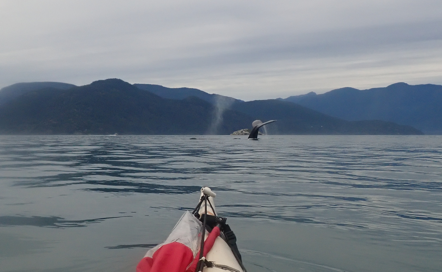
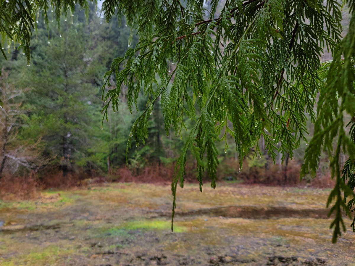
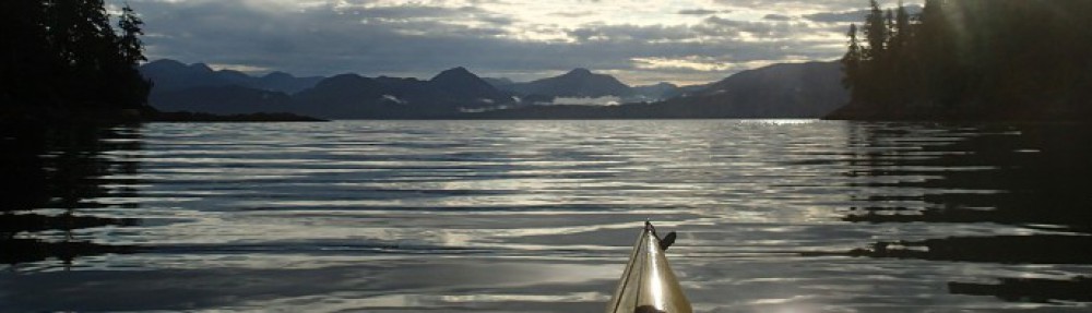
Still the sun sparkled on the bright blue sea, and I had a very pleasant crossing, threading through the shallows on the north side of Russell Island, over the white shell bottom.


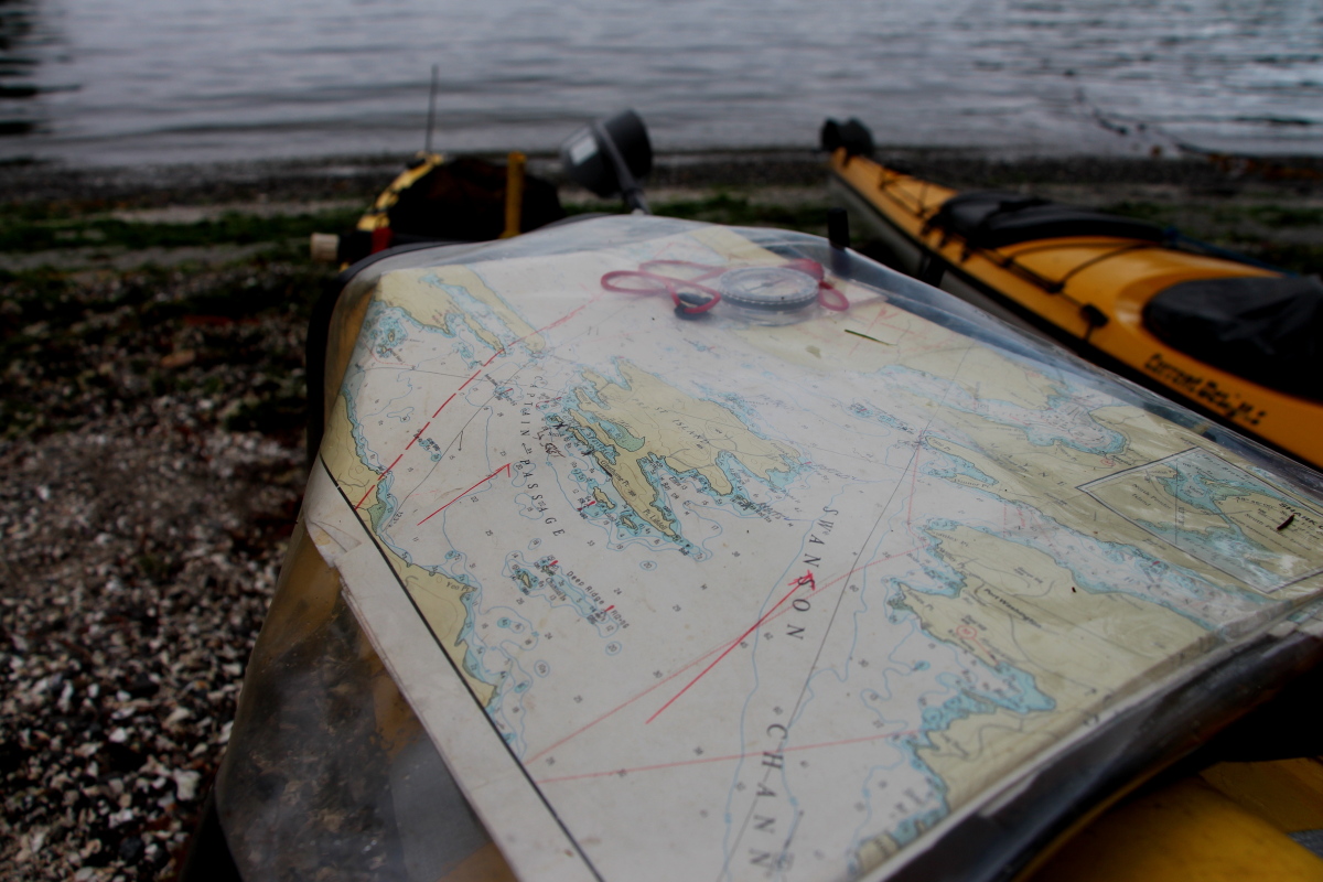
With no rudder in the water, the Expedition kayak had a tendency to weathercock once I was out in the main channel. But that wasn’t entirely bad, as I needed to ferry between 30 and 40 degrees to windward to counter the downwind drift. (I was detecting and correcting for drift by using the tip of Arbutus Point and the high flat peak of Moresby Island behind it as a range.)
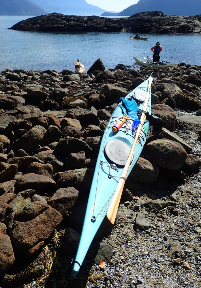
After a couple of happy hours, I arrived off Arbutus Point to find, as expected, Alana was already in residence. Based on previous soggy experience, I lurked offshore while the wake from a recently passed BC ferry dissipated. (Surf landings in loaded boats are rather too exciting.)
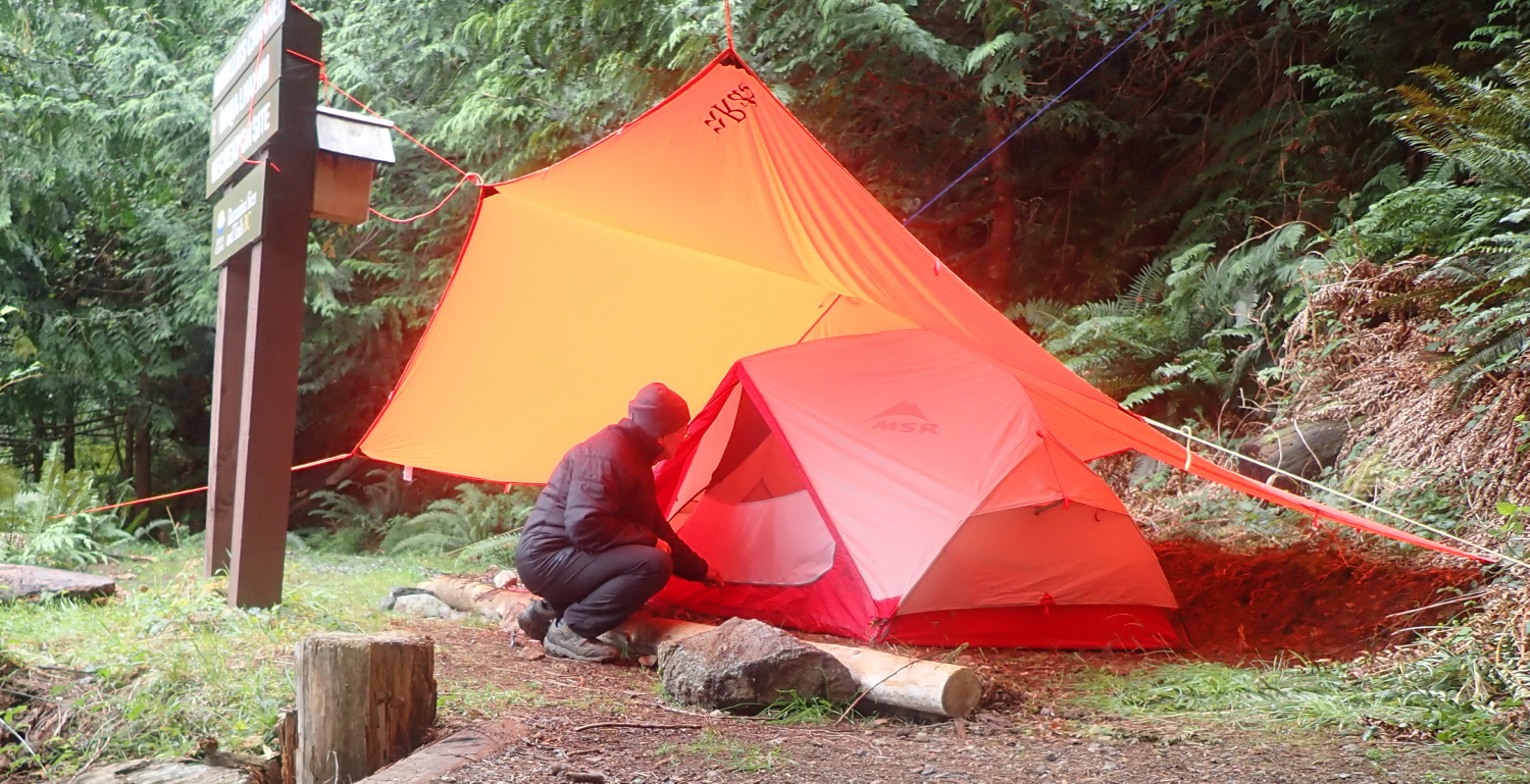
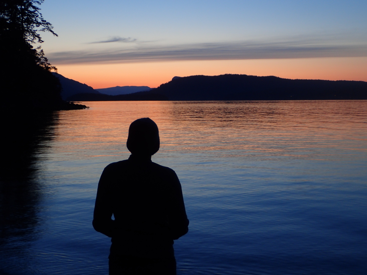
There were a few other kayaks already on the beach, but none of their owners were here for the WCP meeting – or even knew what it was! So Alana and I supped together with our respective meals, and hit our tents fairly early as it was cool and buggy.
It was while I was seated on the edge of my sleeping pad, writing up my journal, that the first foreshadowing of a restless night emerged: with a muffled twang, one of the internal battens in the pad parted. A small hillock now bulged up out of the formerly featureless plain of the pad. Oh, well, not too bad, right? Wrong. As I lay abed, there occurred a slow but relentless progressive failure as each torn batten put more load on its neighbour, leading it to tear in turn. My mat transformed itself first into a sort of half-inflated life raft—with my feet at the high end and my head on the ground, naturally—and then finally into a pneumatic log. After an indeterminate period of trying to drape myself over this squashy cylinder and being regularly bucked off just as I dozed off, I gave up, deflated the mat, and slid a spare fleece top between my body and the ground. But it wasn’t like the venerable pad owed me anything: it was more than a dozen years old, and the cozy companion of many a night.
April 26, 2025
Over my breakfast of tinned hash and fruit cocktail, I discovered a third WCPer had infiltrated Arbutus Point under cover of darkness last night, and slept commando-style beneath the stars. (Many of you will know Alex from the amazing adventures and photography he has shared over the years at Alexsidles and on Westcoast Paddler.)

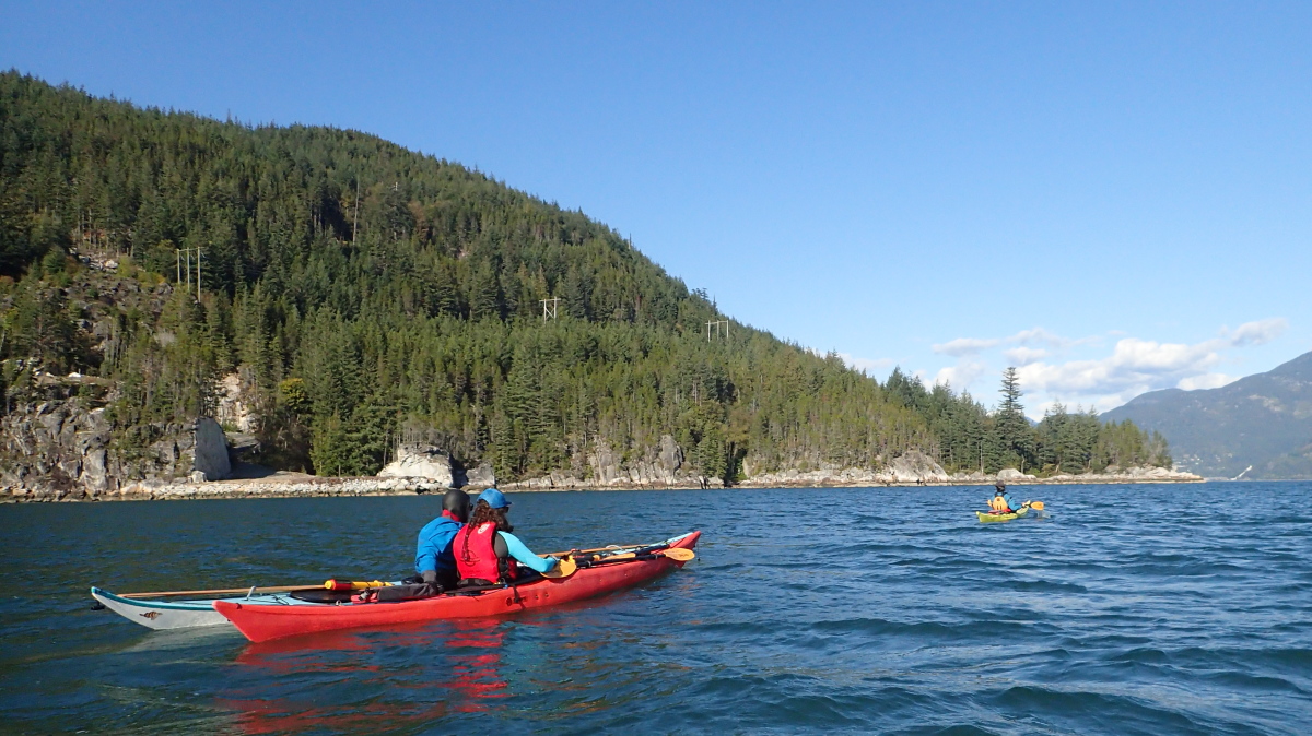
Later in the morning, Alana and Alex decided to join a pair of the other paddlers (Liam and Jane, also kayak guides as it turned out) on a quest for homemade ice cream in Fulford Harbour.
I had a bit of cutting and chafing under my left arm (later determined to be caused by the very deep cockpit and high seatback of the Expedition kayak pushing my PFD higher up my body than in my other kayaks, and rubbing the lower edge of the arm hole against my armpit. I have an alternate PFD with a shorter torso I’ll use on future trips with the Expedition.) Plus, I wanted to see if I could fix the rudder lines and cable on my boat. So I puttered happily on the beach as the others paddled off.
First, I improvised a guide for the rudder raising and lowering line by running it through the tent pole repair sleeve from my repair kit and duct taping that to the V-cradle for the previous rudder on the back deck. With the tape looped right around and under the hull, it was pretty fugly. But functional.
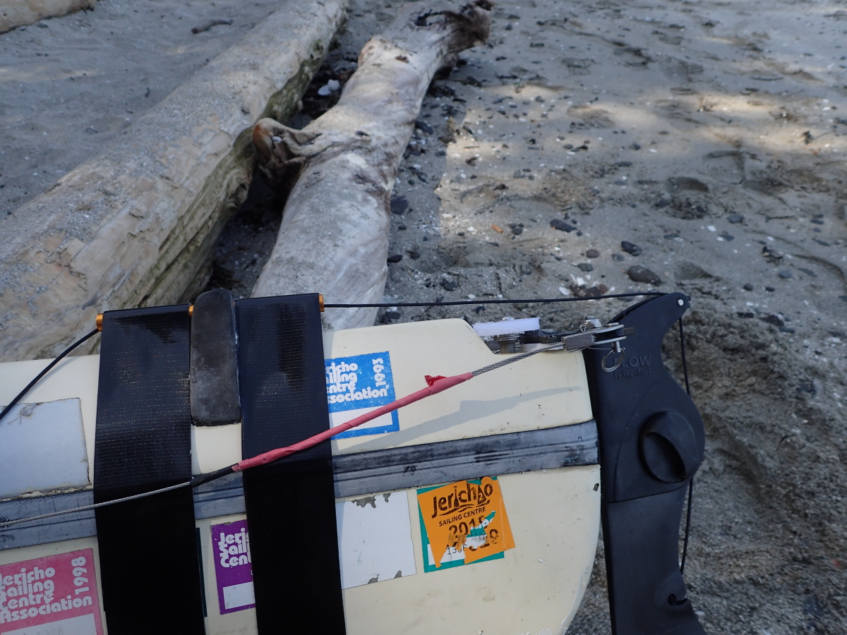
Next, after a bit of hesitation, I dismounted the right pedal and housing from the hull, then completely disassembled it in order to rethread the cable through it. I worked as carefully as any surgeon to ensure I didn’t drop any of the nuts, bolts or screws into the concealing sand. By adjusting the loop where the cable runs around the tiller at the rudder, I freed up some slack at the foot pedal end, which I then tied into a figure 8 stopper knot to replace the missing swaged copper stopper.
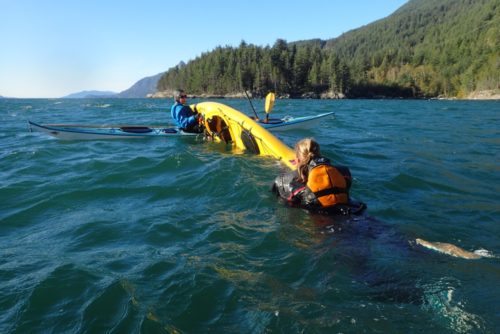
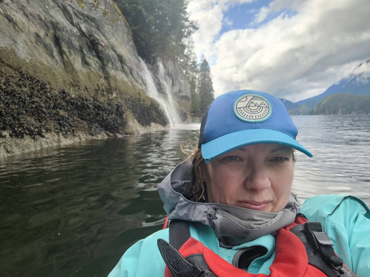
I was just congratulating myself on the success of these field repairs when the Fulford Harbour Foursome hove back into view on the horizon. Per an earlier promise, I donned my drysuit and waded into the shallows with my GoPro to video Alana working through her rolls and static braces. I congratulated her on pulling off rolls better in quality and variety while in her first trimester than I ever could while non-pregnant. “Second trimester” she casually corrected me. Which of course made me feel much more adequate.
As Alana was changing into her shore wear, a lone kayaker appeared. This proved to be Mick, which was a welcome surprise as I’d originally expected him to be there on the Thursday and leaving on the Friday, so we thought we’d missed him. So now we were four WCPers.
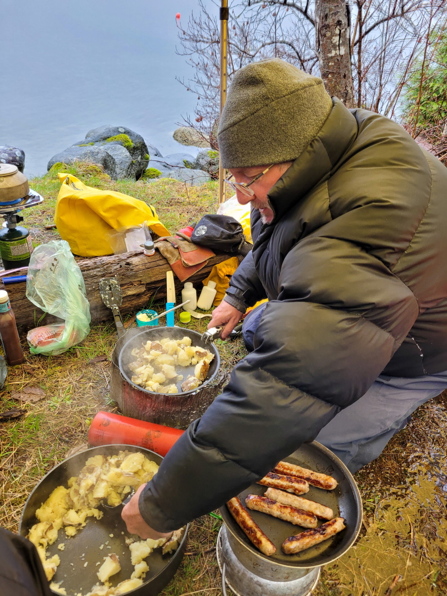
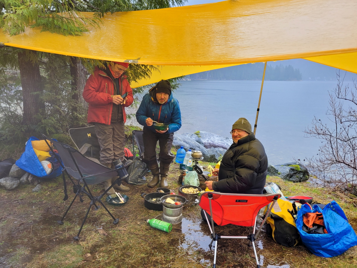
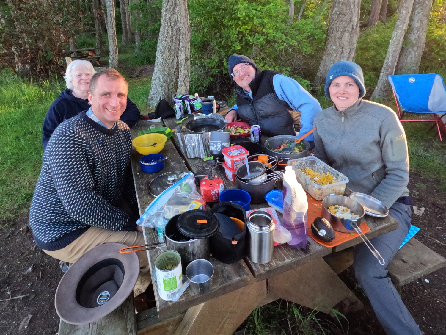
It turned out Mick had managed to leave the bag with his intended dish for the potluck at home. And that turned out to be a good thing. Because with just my veggie pasta dish, Alana’s corn salad and Alex’s zingy tofu offering, we had so much surplus that we had to accost our neighbours Liam and Jane and foist food upon them – not just for supper, but also leftovers for their lunch the next day!
Armed with my carefully sun-dried sprayskirt as an improvised sleeping mat, I slept much more comfortably than last night.

April 27, 2025
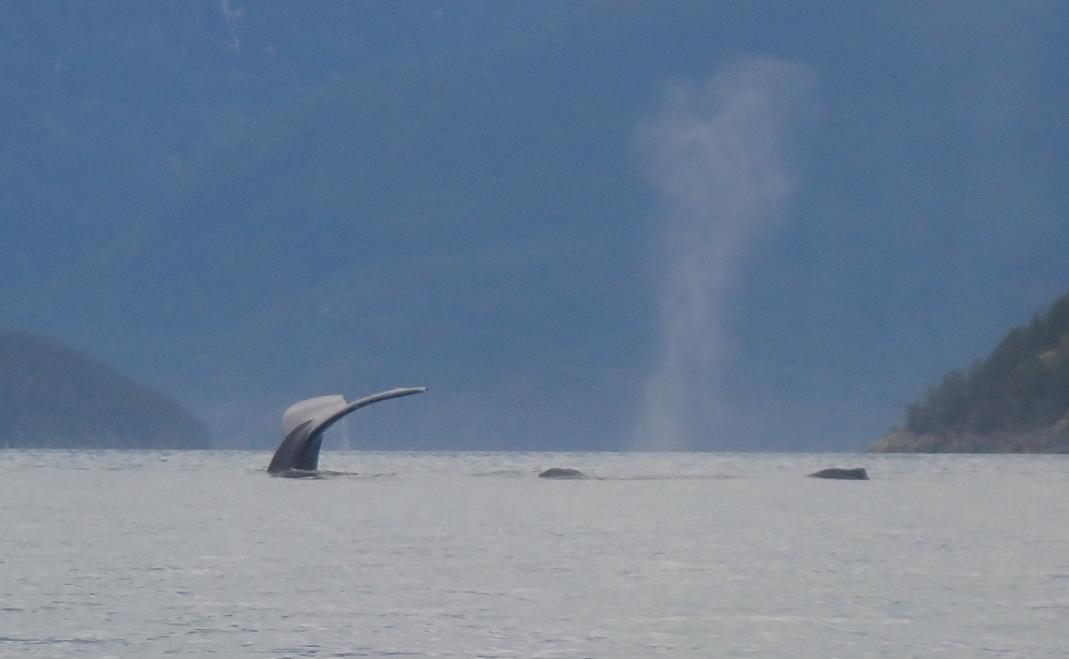
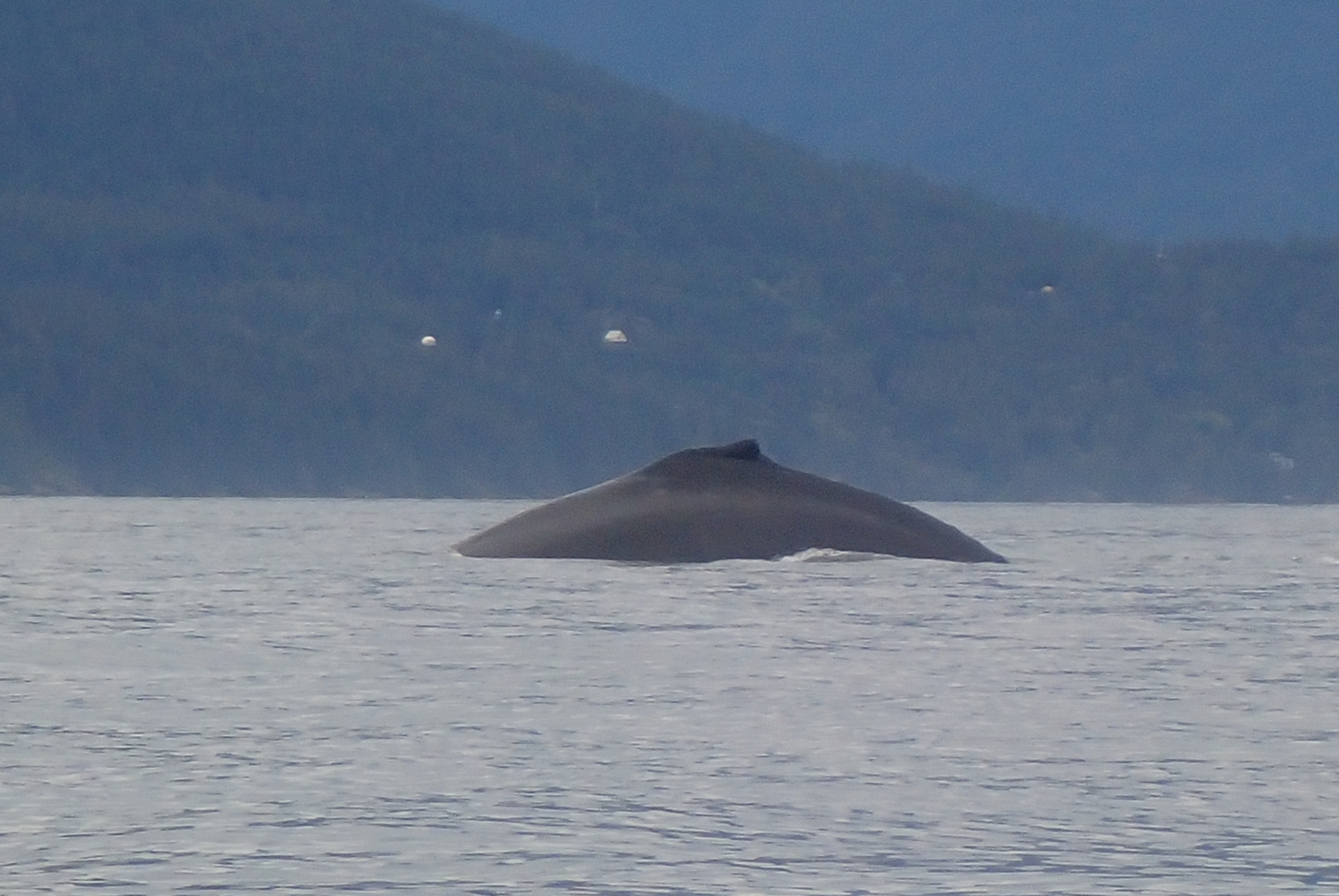
Over breakfast and coffee, I chatted with Mick and Alex. It turns out we all three share an interest in traditional Polynesian and Micronesian methods of ocean navigation, so the conversation flowed freely.
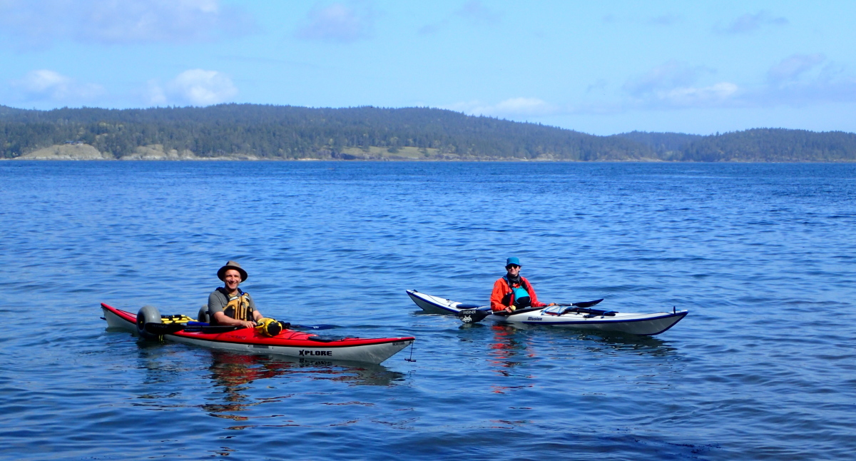
Alex and Alana launched together about mid-morning for Swartz Bay. Mick was staying another night, so I bid him adieu as I launched shortly before noon.
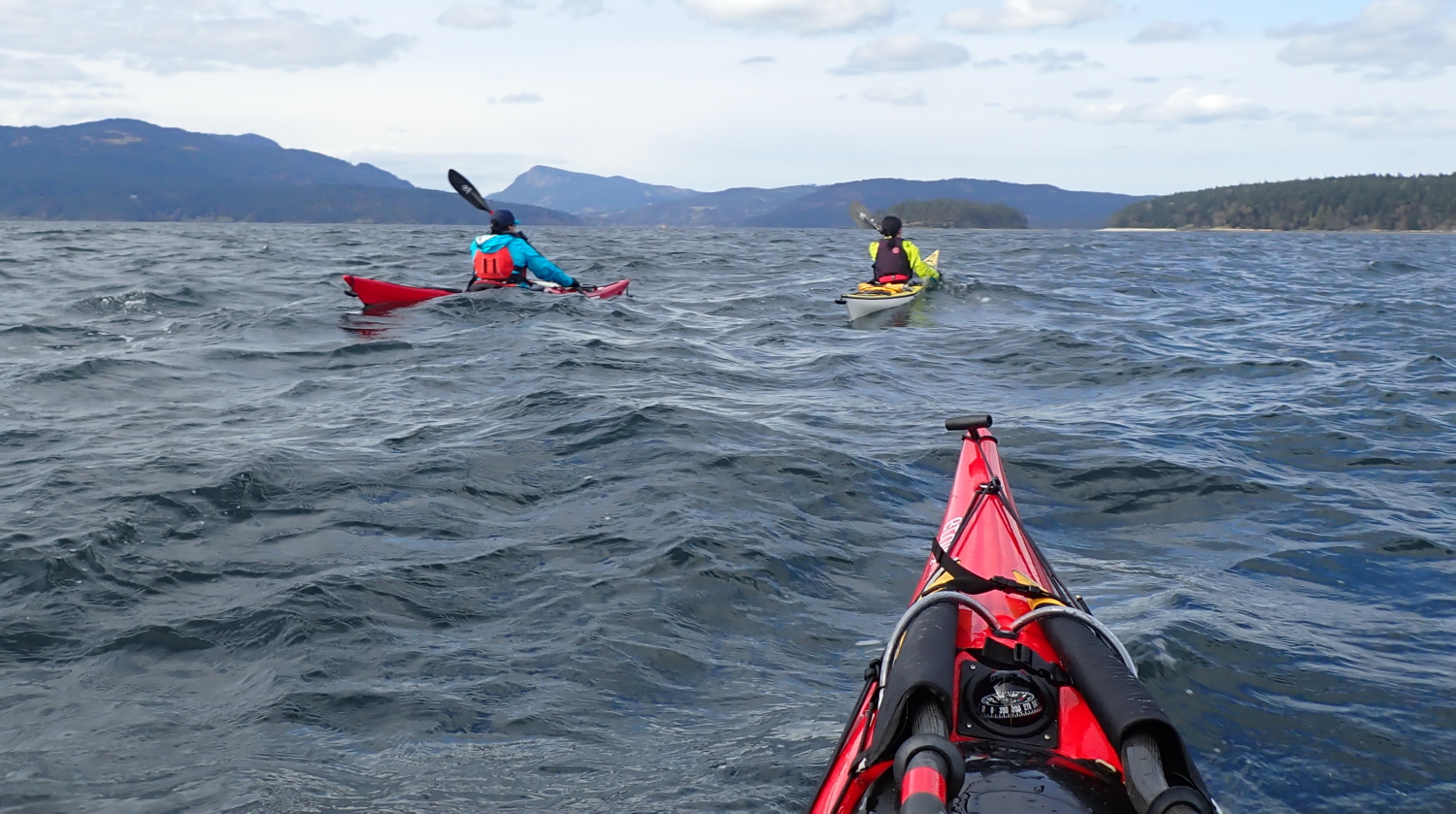
I had to paddle only a few hundred metres to escape the lee of Portland Island before I was able to hoist the sail. (I was so glad to have invested the time to fix the rudder and foot peg cable!) At first I was merely ghosting along, but the wind and my speed increased as I went. Once I’d opened the mouth of Fulford Harbour, I could have sailed in a straight shot down to the public wharf and ferry dock. But I was having far Too Much Fun, so instead I zigzagged downwind in a series of ever-speedier broad reaches.

I got some good video clips, but no footage of the most exciting sailing since my hands were literally full. As the wind sped up between the contracting hills at the far end of Fulford Harbour, I had to lean to the windward side of the kayak (the paddler’s equivalent of the sailor’s hiking out). As I’ve done before in high winds, I also lay my paddle on the water on the windward side in what I call a flying brace: with the leading (forward) edge of the blade angled slightly upward, the blade is continually lifted by the forward motion of the boat as it would be during a sweep brace, so the paddle becomes a hydrofoil outrigger I can lean aggressively down on if a gust threatens to capsize me to leeward.
I stopped to furl the sail a hundred or so metres upwind of the public wharf, so I’d have had some searoom to sort things out if they’d gone sideways. But fortunately for my pride, all went smoothly.
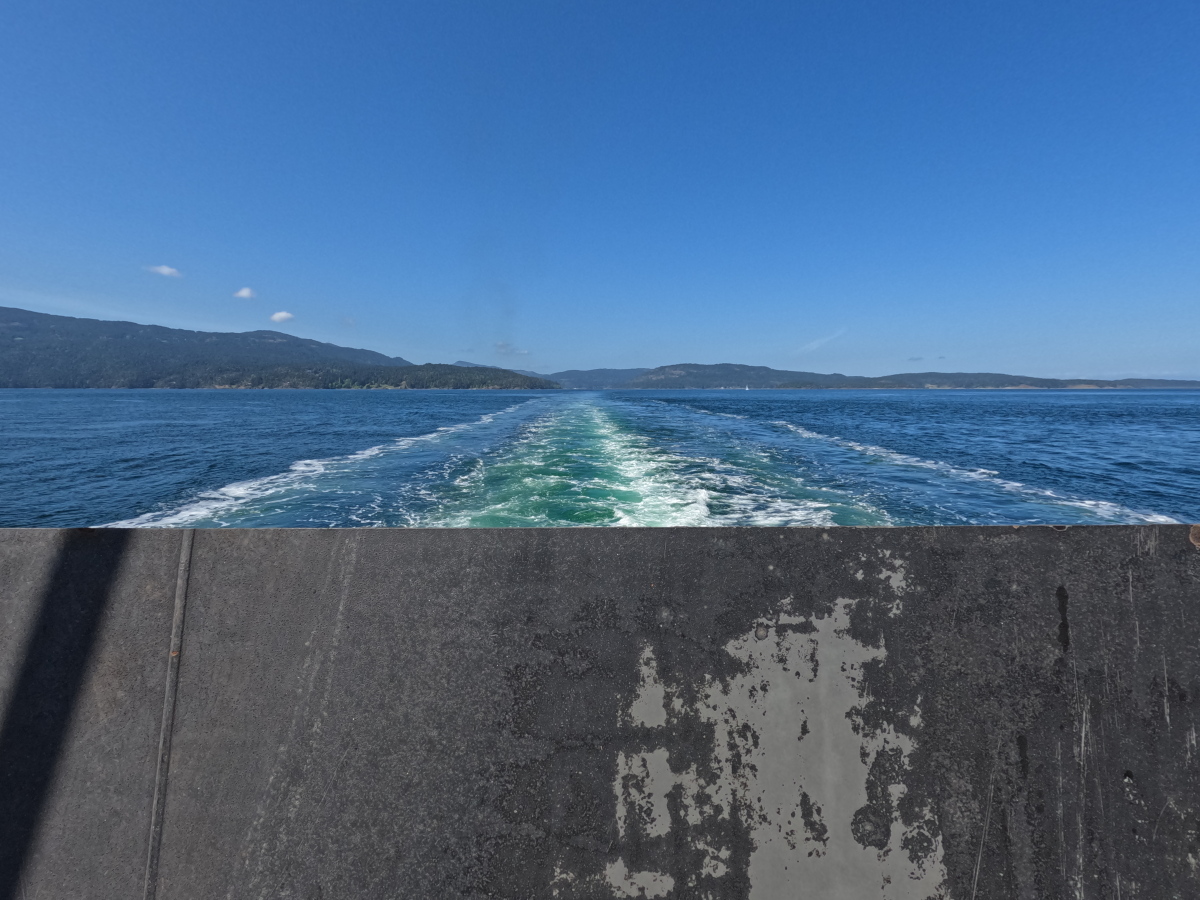
I pulled alongside the public wharf about 1:15PM. Even with an unhurried remount of the boat onto the wheels, portaging the cargo separately up the dock ramp, then reloading the boat, I was able to stroll on the 1:50 ferry just behind the last car, as if the ferry had been my own personal transportation just waiting for me before departing.
Great to have relaunched the get-together tradition. Hoping more WCPers can join us next year.