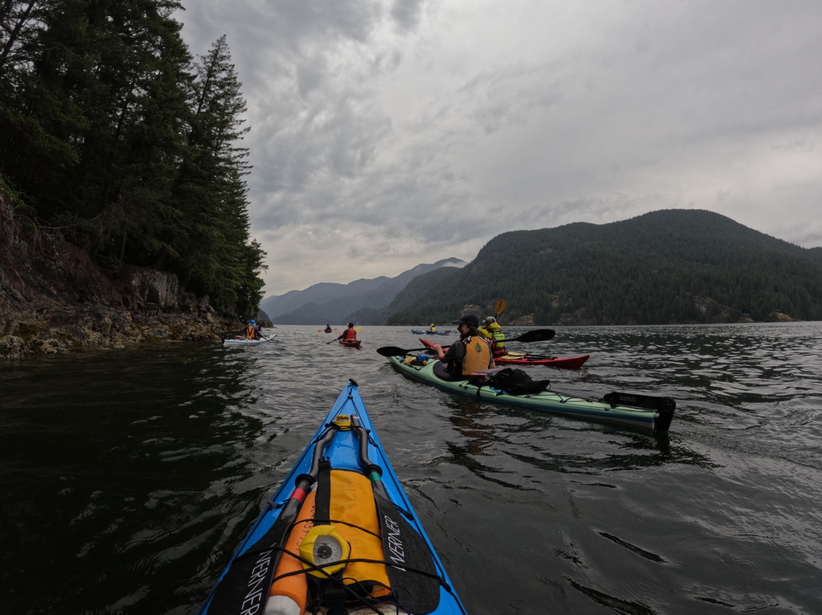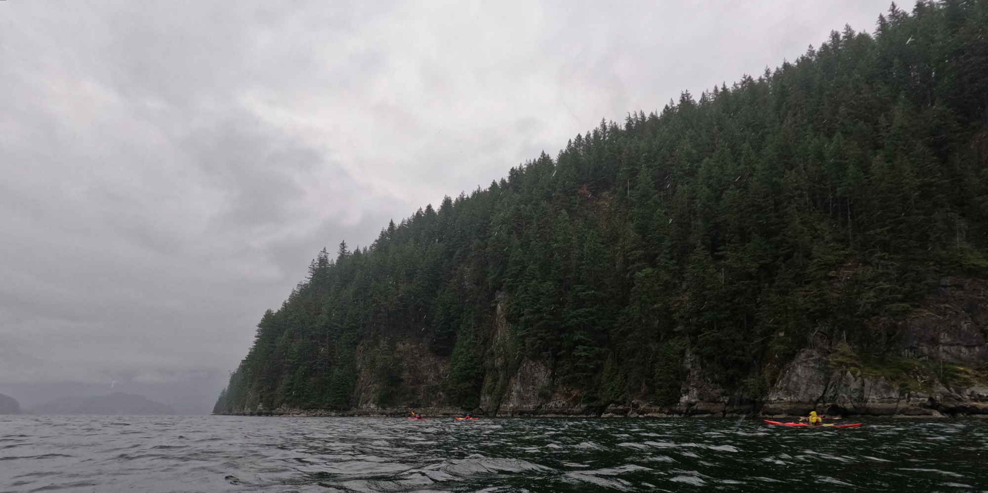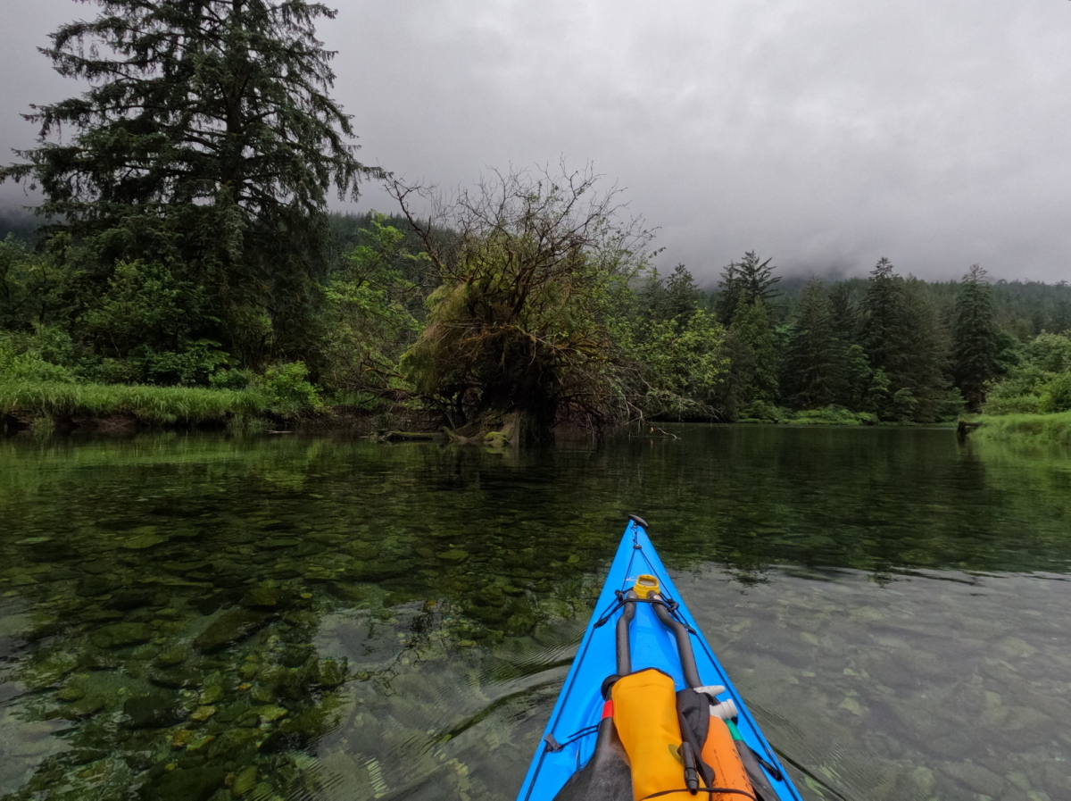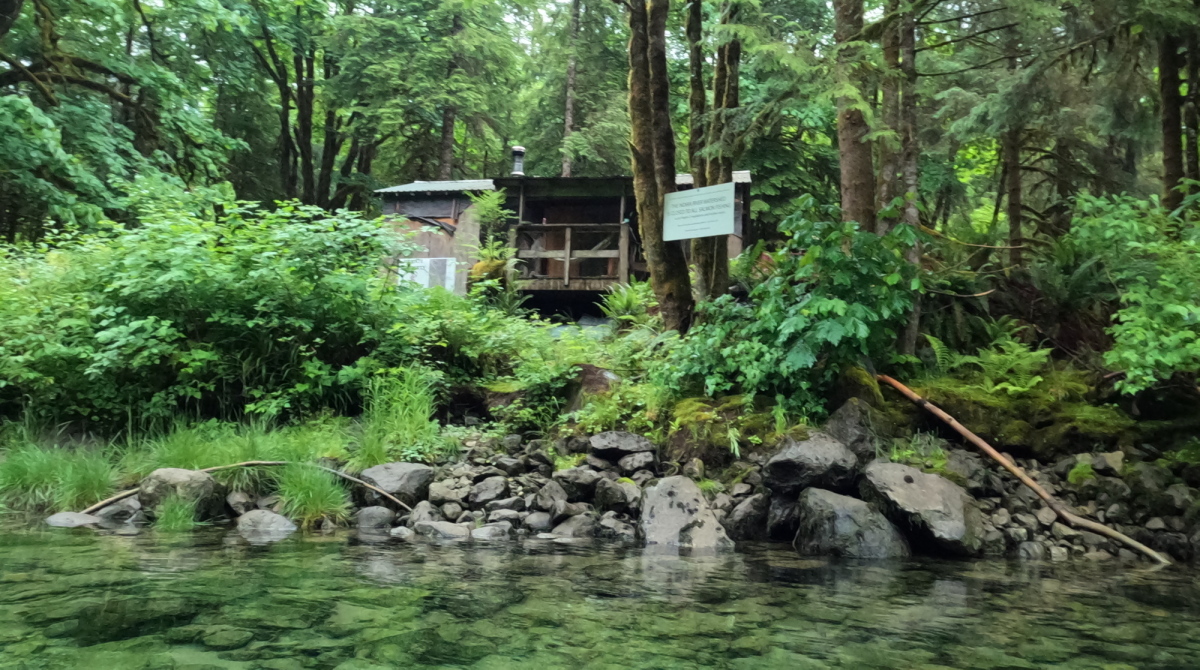
Estitkw/Apodaca Escapade

July 19, 2026

I awoke unprompted by my alarm at 5:30AM. I showered, unplugged all the electronics that had been charging overnight and hit the road for Jericho Sailing Association. Since my seasonal parking pass doesn’t cover overnights in the Jericho lot, I parked a few blocks away, piled the last of my gear and the fresh food in the cart. (I’d prepositioned most of my gear inside my boat yesterday, when I’d been guiding and instructing for Jericho Beach Kayak).

With the help of the JBK rental staff, I launched my laden boat about 9:45AM. The headwinds were already rather stronger than predicted in yesterday’s forecast on windy.com, so it took me until 11AM to reach the second dolphin at the west end of Spanish Banks. From here, I aimed more-or-less towards Point Cowan on Bowen Island — more when a lull in the wind and/or breaking waves made it possible and safe to head northwestish, and less when I had to turn straight into spilling swells for stability. It required constant alertness to monitor and prepare for the next set of would-be kayak capsizers.
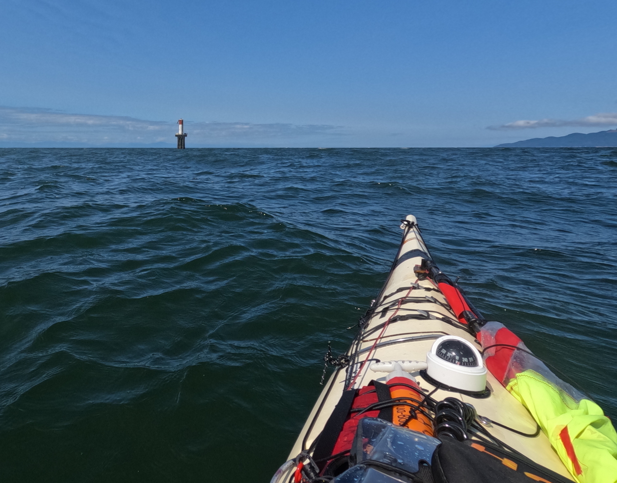
Approaching the second dolphin, west end of Spanish Banks, English Bay, Vancouver, BC

I cannot lie: there were a few times I was a bit nervous, and I used my braces “for real” more than once. But mostly it was a matter of (very) slow, steady plugging along. The seas were a sporty combination of swells, tastefully overlaid with wind waves, all set off beautifully with whitehorses and long streaks of white foam. 
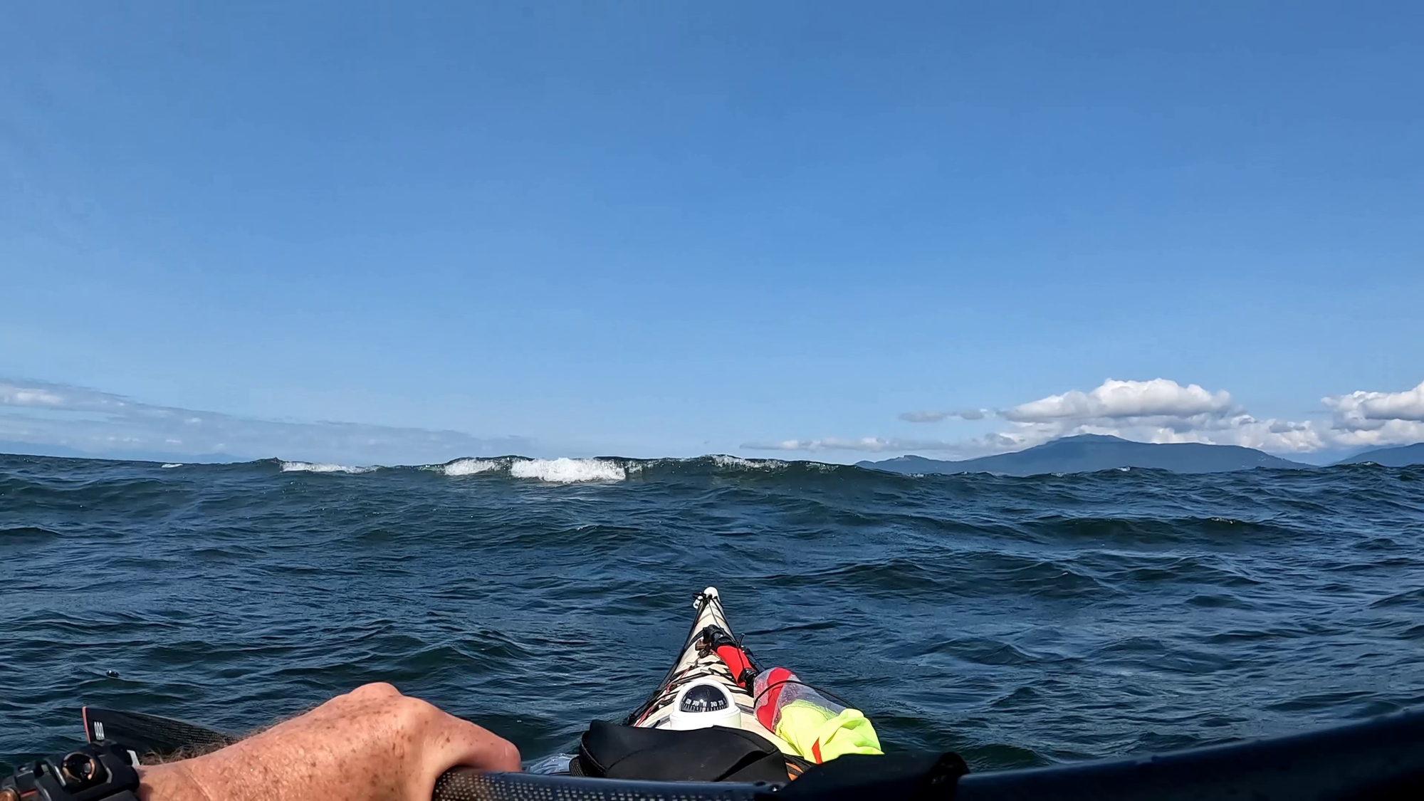
a sea kayaker's point of view of a breaking swell near the bow of the boat

Any tedium was relieved by two passenger fast catamarans (Hullo Ferry’s entire fleet) criss-crossing in front of me, Nanaimo and Vancouver bound respectively. Their wakes interacted in challengingly unpredictable ways with the swells and wind waves. So “Wakey! Wakey! Rise and brace!” Not long after this, an American sailing yacht actually detoured to pass close and check if I was OK. Nice of them.
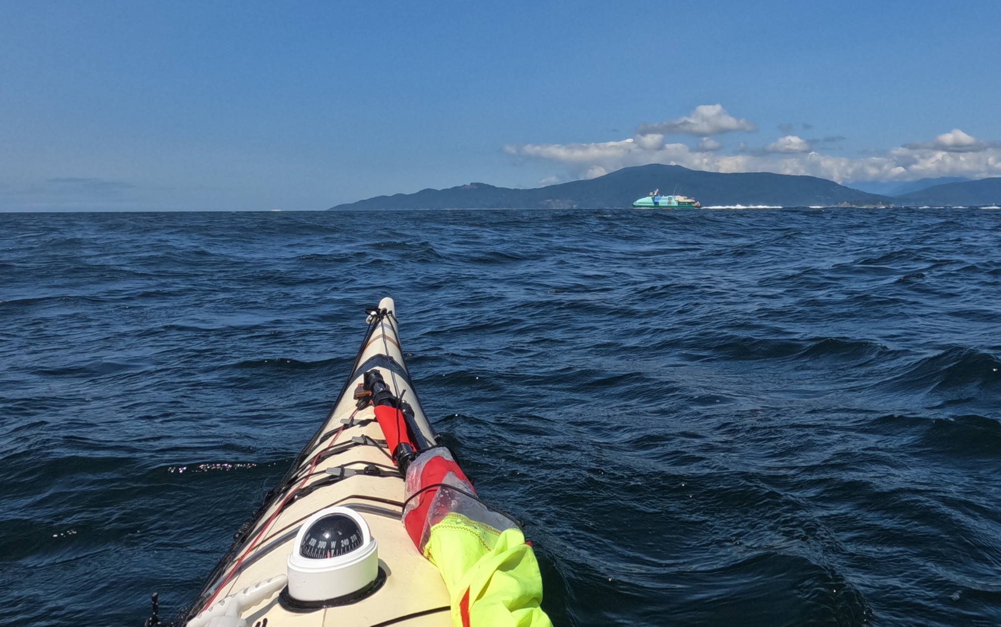
A high speed catamaran ferry generates spilling wake in front of a sea kayak.
Hullo Ferry; hello wake!

At one point, I had to surrender a fair bit of my hardwon progress, and swing down to a course toward Point Grey to ensure I would pass astern of a northbound freighter making its eastward arc into the Port Of Vancouver. Technically speaking I was at least a few hundred metres clear of the mouth of the inbound traffic lane marked on the charts, but I’m far too polite to make an issue of these kinds of things. Particularly with vessels that outweigh mine thousands to one.

As advertised in the Wildcoast Recreational Map (and my previous experience), the area southwest of Passage Island was rockin’ and rollin’ from the crashing currents of Howe Sound and English Bay, overlaid with the wind.

By midafternoon, I was rather thirsty and peckish. Fortunately, I had thoughtfully stowed a water bottle and snacks in my Northwater Underdeck Bag. Unfortunately, the deck of my sprayskirt was regularly awash with green water and I dared not pop the front open. Perhaps, like Paddington Bear, I should in future keep a marmalade sandwich under my hat “in case of need”.

Until now, I’d been navigating by chart, compass and Mark I eyeball, both as a matter of professional pride, and because constantly squinting at the screen of a GPS is a recipe for seasickness in big water. But now I fired it up to confirm the faint line through the trees I’d spotted on Bowen Island marked Optimist Creek leading down to Apodaca Cove. I was more than a little smug when the multi-million dollar satnav system agreed with me. 

On the downside, it was now after 15:00 hours and the GPS’s prediction was that with my current slow plod, I wouldn’t reach camp until 17:30ish. Faced with this, I seized upon a moderately mad plan: I was now slightly upwind of Apodaca. Did I dare raise my sail in winds and waves this big? I did so dare. To achieve a beam run made good, I actually needed to point slightly upwind. This put me effectively beam on to the swells and breaking waves. But I reckoned that with the forward drive from the sail, I could stick my Greenland paddle out at right angles to the kayak on the upwind side, and use it as a foiling outrigger. I’ve been doing this while kayak sailing for years, but these were among the most challenging conditions I’d attempted. But all went well: spilling swells at times buried the blade a foot or more underwater, but I simply angled the leading edge of the paddle until it flew back to the surface.

a wave breaks across the bow of a sea kayak sailing

The experience had a little bit of the mad exhilaration I’d always imagined for Ernest Shackleton’s party when they did their do-or-die sitting glissade down the mountains of South Georgia.

Having judo’ed the wind from enemy to ally, I rocked up at Apodaca at 16:15. Six and a half hours was the longest continuous stretch I’d spent in the cockpit in a long time, and the sea conditions were the most “technical” I’d paddled in quite a while (Paddle Canada Level 2 spilling over into Level 3 for those who know.) So while it had been hard work, there was satisfaction in knowing the ol’ bod still has it when needed. 
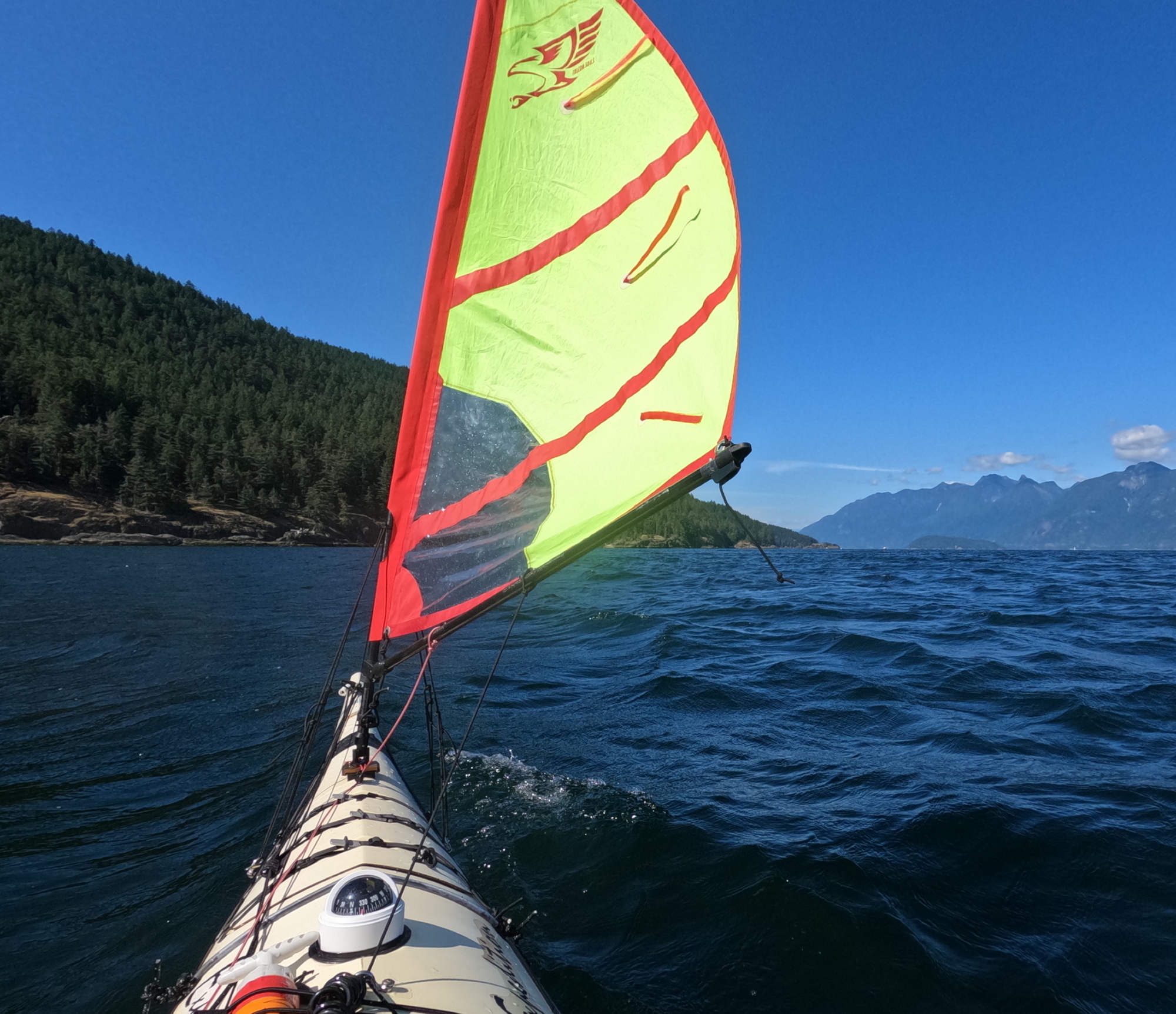
Apodaca Ho!

I bobbed a bit offshore of the beach for about ten minutes to let the wake from a passing BC ferry arrive and then disperse. The two rollers I’d homebrewed from wooden doweling sheathed in pool noodle foam made getting the loaded boat up the rocky beach much easier. There is a wooden kayak rack in the upland above the beach. But between the top of the beach and the rack is a gnarly barricade of tangled driftwood logs, as though a giant had been playing pick-up-sticks. I judged that solo portaging my boat across these multiple leg traps ran too high a risk of fracturing bones and/or boat, so I slid my craft as high up the logs as I could manage, then tied the bow off to a tree. 
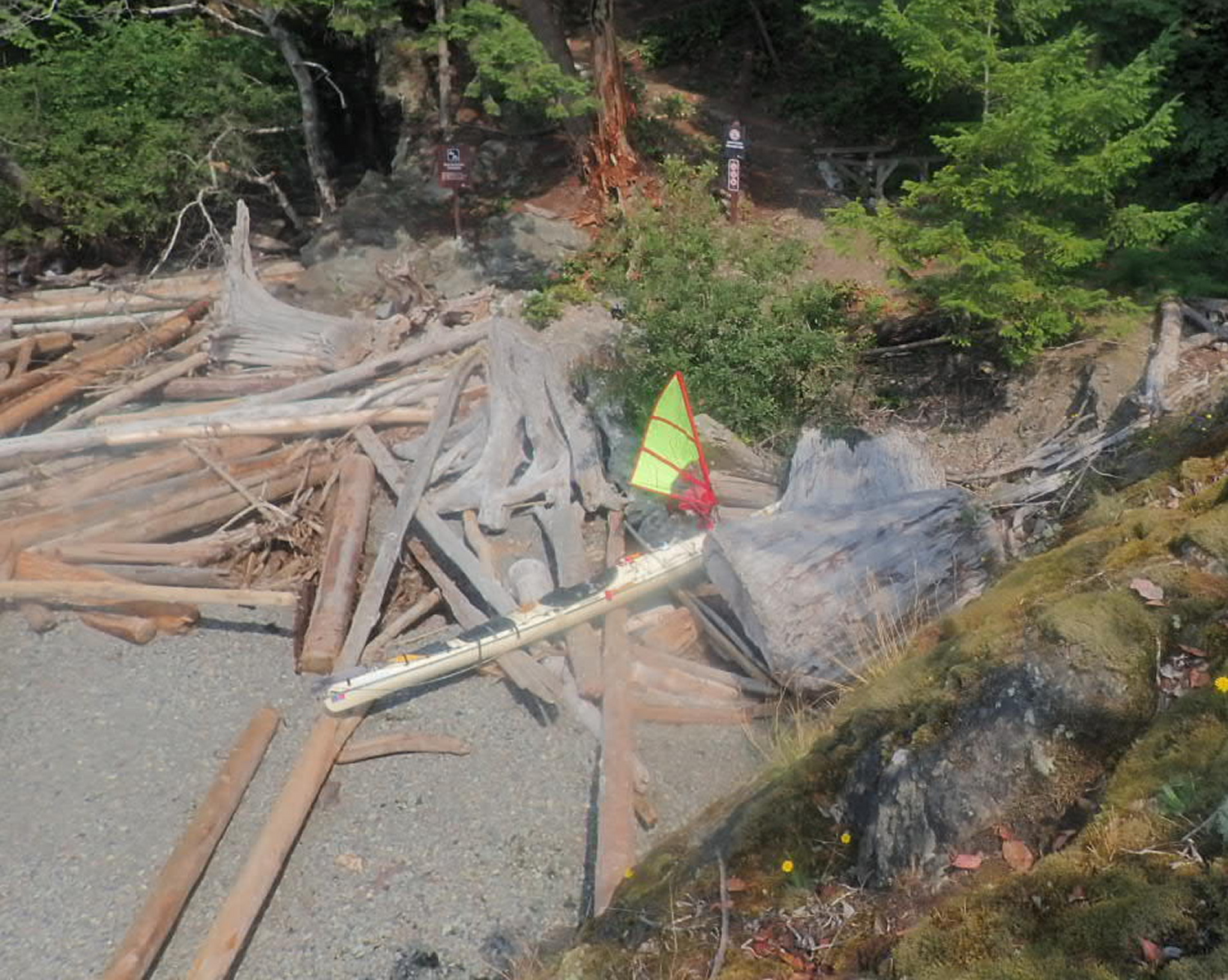
Landed at Apodaca. The (inaccessible) kayak rack is visible in the shadows to the right of the signpost.

The switchback path up to the tent platforms was rather steep, but the view from the camping area was amazing: Passage Island, the city, and Point Grey in one wonderful sprawling panorama. Per my recent practice on shorter trips, I’d grabbed a panful of food from the self-serve buffet at my local T&T market, and frozen it at home for my first night’s supper. So as I made camp, dinner was thawing and heating in my Outback Oven. There’s something deliciously decadent about having Chinese takeout–Spring Rolls, Sweet n’ Sour Pork, noodles and stir-fried veggies–in camp.

As I write this entry, I can still feel the roll of the swells in my balance system; I know from previous experience this will feel like being rocked in a cradle once I lay on my sleeping pad. Just as I was ready to abandon my folding armchair for bed, a pair of bats appeared in the twilight and put on a flitting skyshow for me.

July 20, 2026

I read only a few paragraphs of my book (Armada by John Stack) before falling into the sleep of the just (the just pleasantly exhausted…)

I awoke painlessly at 8AM. Down to the boat to retrieve my forgotten coffee mug. Last night’s high tide (probably aided by ferry wake) has rearranged the lower driftwood logs on the beach, and may make tomorrow’s launch trickier.

The plastic triglide on one of the front hatch cover straps has snapped off; I field repaired it by tying the strap off to one of the stay anchor padeyes for my Falcon Sail. I’m overall really pleased with how the front and rear compartment hatch covers did. There’s a bit of mild dampness in the stern compartment, but no full-on liquid water. Pretty impressive considering the long hours in breaking seas during yesterday’s crossing. I’m glad to have added a thin strip of neoprene gasketing to the inside of the stern hatch cover.

I breakfasted on canned hash, Starbucks instant coffee and eccles cake (leftover dessert from last night I was too stuffed to finish.) As I ate, I watched a hummingbird mistake my grey and red tent for an oversize flower. On the blue water below, pleasure craft and private fishing boats passed, showing (to me at least) that in many, if not most, humans, something in us yearns for the sea.
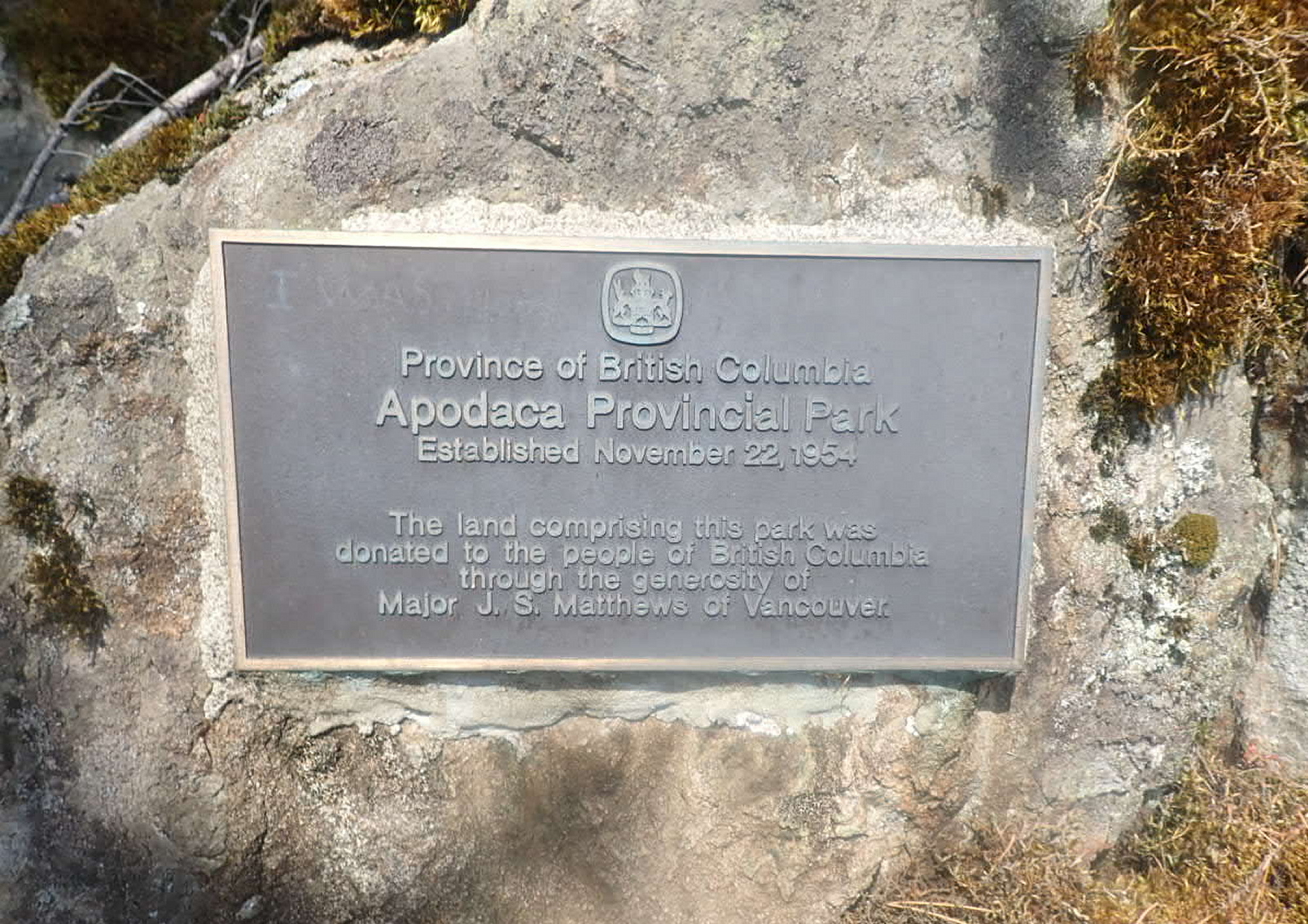
I’m glad to be taking what real athletes would term a “recovery day”. I take advantage of the flat tent platform to do some “prayer stretches” for the squished discs in my back.
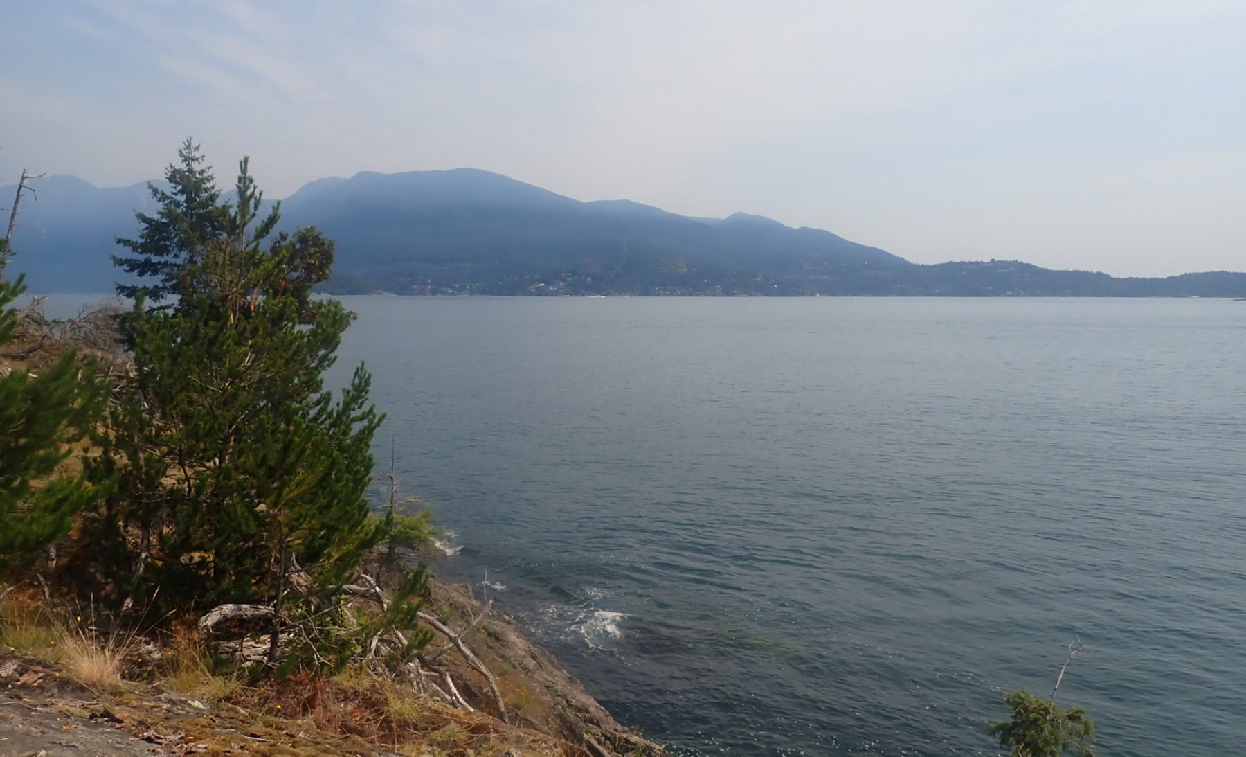
Looking to North Vancouver

After having cunningly rigged two perfect lines for my hammock, I discovered to my chagrin that I’d packed the bag containing the bug netting for the hammock, but not the hammock itself! So I’m having to rough it in my folding armchair, which I slowly migrate around the tent platform so it’s in the shade throughout the day.

I have a bit of sunburn on my forehead. I don’t usually apply sunscreen there as sweat tends to carry it into my eyes, inducing a tear-gas like effect. And usually the wide brim of my sunhat protects it. But yesterday’s prolonged upwind paddle kept pushing the hat back and exposing my brow. 

The seas appear teasingly calm in the lee of Bowen Island, but looking out into the Strait, I can make out white seas even with my naked eye.

The forecast is for light winds from the west tomorrow, so I think I will aim for the red buoy off Point Grey (which bears 127° magnetic from here), then hopefully broad reach back and forth under the sail back to Jericho.
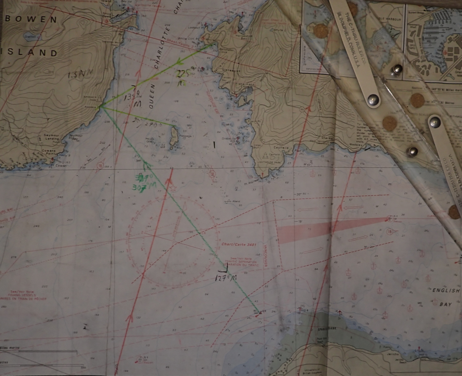
My chart for this trip, with some bearings and LOPs pre-marked for navigational convenience.

I’m enjoying drinking off the ice water from the cold packs in my cooler as they thaw. Very refreshing on a hot day. The interior of the cooler is still cold enough that I have no concerns about the food safety of tonight’s smokies inside.

The bugs were out more strongly tonight, and I could not locate the Bug Off I was sure I’d packed (PS: naturally, when I unpacked at home, I found it immediately.) So I retreated to the tent and hit the bed early. 
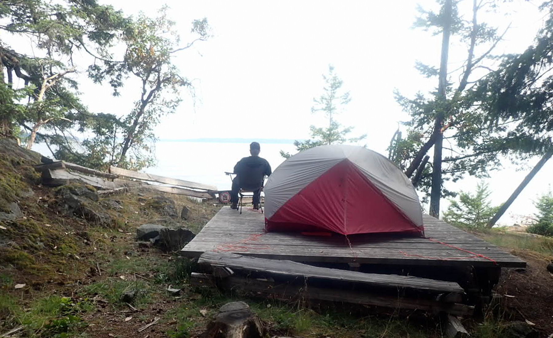
I woke up briefly in the night brooding about the shifted driftwood logs and ferry wake making the morning’s launch difficult and/or dangerous.

July 21, 2026

I’d set my alarm for 6AM, but woke up naturally at 5:30. So nice to break camp in the dry and in daylight. Instant oatmeal for breakfast. No coffee as I don’t know how long I’ll be in the boat this morning.

I skidded my boat back over the driftwood logs and launched safely at 8:30AM, par for my course of 3 hours from getting up to getting away. Wonderfully calm on launch – so nice staring down into the cool green depths.

I marked my southward progress by watching the south tower of the Lion’s Gate bridge (just visible through the distance and haze) migrate steadily from left to right of the Point Atkinson Lighthouse.
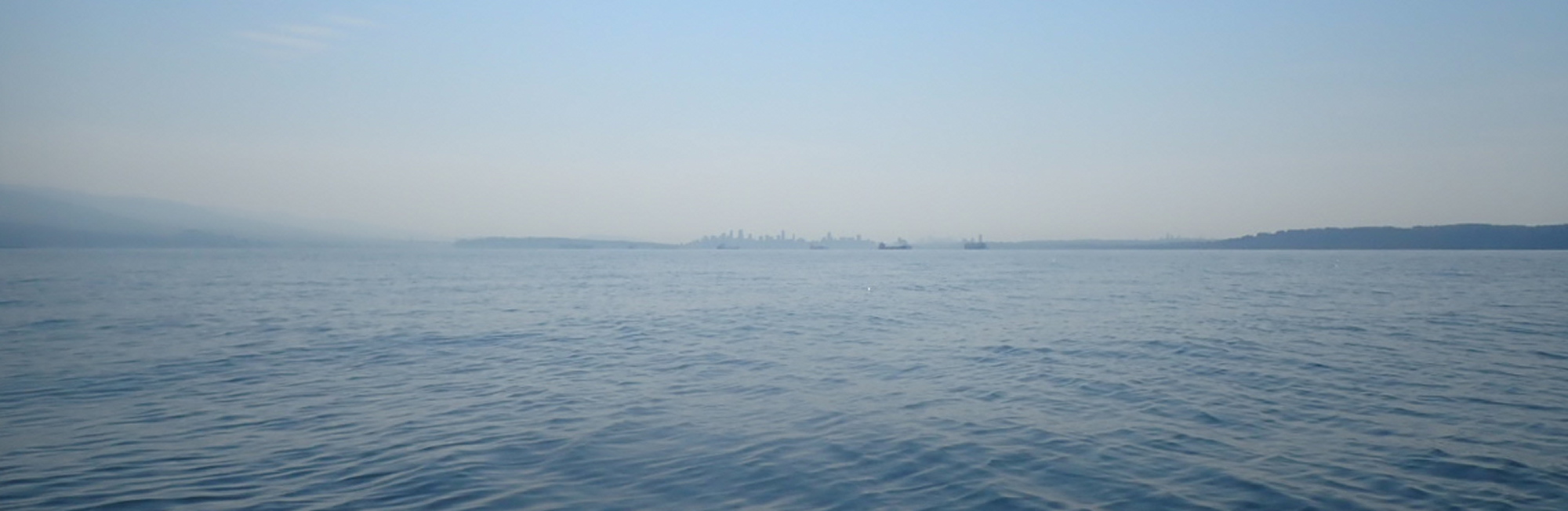
 From left to right: North Vancouver, First Narrows, Stanley Park, downtown Vancouver, Kitsilano, Point Grey
The hazy days of summer (forest fires). From left to right: North Vancouver, First Narrows, Stanley Park, downtown Vancouver, Kitsilano, Point Grey

My goal was to get far enough south far enough that by the time the morning inflow winds picked up, I’d be in the “suck zone” of English Bay rather than Howe Sound. At first, rising ripples on the sea’s surface weathervaned to me that I was still in the Howe Sound catchment area. Then, about an hour and a quarter after launch, the ripples shifted from coming dead ahead to on the starboard quarter; I’d hit the tipping point. Though the airs were still only very light, I raised the sail.

This screenshot was taken from another trip, but shows the boat and set-up I was using. Bowen Island is visible in the background.

Despite pointing my bow just east of Point Grey, the wind angle and a strong inflow tide swept me hard east, so that at times I had to paddle-sail to avoid hitting freighters rudely anchored in my path.

Once I reached the first (eastmost) dolphin off Spanish Banks, I was able to proceed on sail only the rest of the way to Jericho, landing at 11:30AM. Three hours home vs. six and a half on the way out. I’d earned my fish n’ chips at The Galley.

VHF Marine Radio: A Lifeline for Sea Kayakers

a chart showing the Canadian Coast Guard coverage area for DSC equipped marine VHF radios
The DSC system covers most places a sea kayaker would want to go on the BC coast. These antennas are not like cellphone repeater towers: they will let you communicate with the Coast Guard; they will not retransmit your calls to other VHF users. [From https://www.ccg-gcc.gc.ca/publications/mcts-sctm/ramn-arnm/part4-eng.html ]

“Hello? Hello? Is anybody out there?” The call came faintly over my handheld radio, secure in its holster on the shoulder of my PFD. No details on what they were hailing about: was it a life-threatening emergency, were they wanting weather information, or were they simply lonely and thought marine VHF worked like CB radio for casual chats with random strangers? Whatever it was, the only thing they had communicated was that they didn’t know what they were doing. I just had time to hear the Canadian Coast Guard respond before my attention was taken up by one of the guests in the kayak tour group I was leading.

Calls like that underscore why it’s common sense, as well as the law, to get your Restricted Operator’s Certificate, Maritime (usually shortened to ROC [M] and pronounced “rock ’em”) before using a marine radio. It’s not a black art: a few hours of study and a short exam will get you in the game, all ready and legal. It’s just that, as in other fields, a specialized vocabulary and specific protocols allow quick and unambiguous communication. Had that muddled radio user known them, it would have been clear from their first transmission what the nature and purpose of their call was.

But, I hear you ask, why would I, a humble sea kayaker, want a marine VHF in the first place?

Some sea kayakers might feel it’s a bit pretentious to sport a full-fledged marine radio—after all, we’re not large craft. But I’ve always treated sea kayaking as real seafaring, albeit with everything—boats, crossings, crew size—scaled down. So a miniature version of the “big boys’” radio makes perfect sense to me. 

Other paddlers might feel a radio is superfluous: they have their trusty cellphone in a waterproof baggie. And you can indeed reach the Canadian Coast Guard by dialing *16 on your cell. But shockingly, the Coast Guard isn’t always going to have a rescue boat just around the corner from where you are. In many, if not most, cases, they will be getting on their VHF radio to see if there might be a nearby good Samaritan who could help you faster. Putting out a call for help on a marine radio allows you to communicate directly with any “vessels of opportunity”, eliminating the need for the Coast Guard to act as a middleman.

Then there’s also the fact that if you’re voyaging to the remote outer and North coast parts of BC, your particular cellphone carrier might not have coverage in that area. But as long as you’re within radio range, you’ll be able to talk directly to other boats. And thanks to a series of strategically placed antennas on high ground up and down the coast, there are very few areas on the BC coast (except far down some of our deep fjords) where you wouldn’t be able to contact the Coast Guard directly (see map).

As a further bonus, thanks to another network of land-based antennas, you should be able to receive marine weather broadcasts on your VHF weather channels pretty much anywhere on the coast—very handy when you’re off the cellphone grid and can’t access the marine weather website.

A marine VHF is certainly useful for emergencies, but even more useful for preventing emergencies. Some years ago, I was leading a small group of coworkers on a kayak trip from Prevost Island south to Portland Island in the Gulf Islands. Partway through the crossing, a BC ferry appeared out of the western end of Active Pass, en route to Swartz Bay. I knew the late afternoon sun would be reflecting off the water around us and dazzling the eyes of anyone on the ferry’s bridge. So I hailed the ferry on my VHF, gave them our position from my GPS, and herded my fellow paddlers into a tight group so the ferry wouldn’t have to slalom through us. Similarly, when doing a solo crossing of Johnstone Strait, I’ve made contact with a tug towing a barge to clarify its course and intentions and to confirm they were aware of my presence (something not to be taken for granted when you are a very small object in very big waves, and the helmsperson on the tug may be multitasking).  

Even for routine on-water communications, radios are superior to cellphones. Simply pushing a button and talking is a lot faster than dialing and then waiting for the call to go through and be answered. As a kayak guide, I’m often with large groups, working with several colleagues. Any radio call one of us makes is heard by all the other guides—very handy since we’re often doing the marine version of herding cats. Nor do you need to be a pro guide to benefit from these “everyone in the loop” communications: it’s equally useful for club outings, or even when it’s just you and your paddle buddy. 

So now that I’ve hopefully sold you on the idea of getting a ROC (M) and a radio, which radio should you get?

To DSC or not to DSC—that is the major question

DSC, or Digital Selective Calling, is a feature that uses a dedicated channel to let radios sync with one another digitally, and so perform all kinds of cool tricks.

Assuming the party you want to call is also using a DSC radio, and that you know their MMSI (Maritime Mobile Service Identity) or MI (Maritime Identity) number, you can call them directly, without having to hail them first by voice on Channel 16. It looks and feels a lot like calling someone from your list of contacts on a cellphone. (Although, as I caution people in my ROC [M] courses, unlike a cellphone, your conversations aren’t private: anyone who’s tuned into the channel you’re using can hear you.) 

If you do need to put out a call for help, pushing the red DISTRESS button on a DSC VHF will start digitally broadcasting your Mayday, your MMSI/MI number, and your position in latitude and longitude. Any DSC-VHF-equipped boat with its radio on and in range will receive it, as will the Coast Guard (see the coverage map above). Ideally, you’d follow up pushing the DISTRESS button with a voice Mayday on Channel 16, but I’m sure you can imagine scenarios in which all you have time to do is push the red button, then cope with the situation at hand. In such cases, it’s reassuring to know the radio is automatically squawking out your digital Mayday and updated location every few minutes.

Downsides to DSC radios are that they are more expensive to buy and have a shorter battery life due to powering the integrated GPS (though on many models, you can reduce power consumption by slowing down the position update rate).

So do you want a DSC or non-DSC radio? My answer is to get one of each. When paddling or instructing in my home waters of English Bay, Vancouver, I use my non-DSC radio since I’m confident of my ability to give my location clearly in reference to local landmarks. That puts the highest daily wear-and-tear on my less expensive radio. For touring, I carry the more expensive DSC radio for its ability to send out my location accurately when I’m in less familiar waters and/or further offshore.

Most radio manufacturers make the instruction manuals for their products available on their websites. So you can browse the manual for the model you’re considering and see if it has the features you want and if the menu works in a way that makes sense to you.

If you are buying a DSC VHF, you’ll need an MMSI or MI number to activate the DSC features. Industry Canada will only issue those for radio models that have been IC-approved. Plus, radios for use here need to have the appropriate CAN, USA, and INTERNATIONAL operating modes. So while it’s OK to order radios online, it’s best to do so from stores that have a bricks-and-mortar presence in Canada so you can be sure their products are ready for use here. I had a student in one of my ROC (M) classes who’d ordered a DSC handheld from one of those mysterious overseas sites. It arrived without IC approval or the proper mode functionality, so they wasted their money. (A note to American readers: please adjust the above info for your country. And if you’re paddling in Canadian waters, your radio will need to have a CAN mode for you to talk to users here. This has to do with channel frequencies and simplex-duplex channels.)
Waterproof…ish

Almost all handheld marine VHFs are advertised as being “waterproof”. But that seems to mean something less demanding to ordinary boaters than to kayakers. The typical use for a handheld might be on the decks of a larger boat in the rain, or perhaps in a dinghy on trips away from the mothership. The worst case scenario there might be the dinghy pilot dropping the radio in a few inches of bilge water for ten seconds. But if a kayaker has to do a wet exit with their VHF in a PFD pocket, the radio gets pushed several feet below sea level during the ejection phase, and might remain a foot or more underwater for a long time if reboarding is difficult or impossible. 

Waterproofness is measured on an IP scale. IP7 is the minimum for a sea kayaker; IP8 would be great if you find such a radio with all the other features you’d like.

There are custom-made waterproof radio baggies available, but I find them awkward. They make it tough to see the screen and a battle to operate the controls. As a final insult, the baggie clips often prevent the radios from fitting in PFD pockets.  So I carry my radio naked and accept that the price of greater accessibility is that it will eventually die from saltwater exposure (usually just after the two or three-year warranty has expired). 

Keeping your handheld at hand

Some paddlers carry their radios under their deck bungees or in the glove compartment hatch on the front deck. I’m not a fan of either: if you became separated from your boat after a wet exit in big waves and high winds, that’s when you might most want a VHF. 

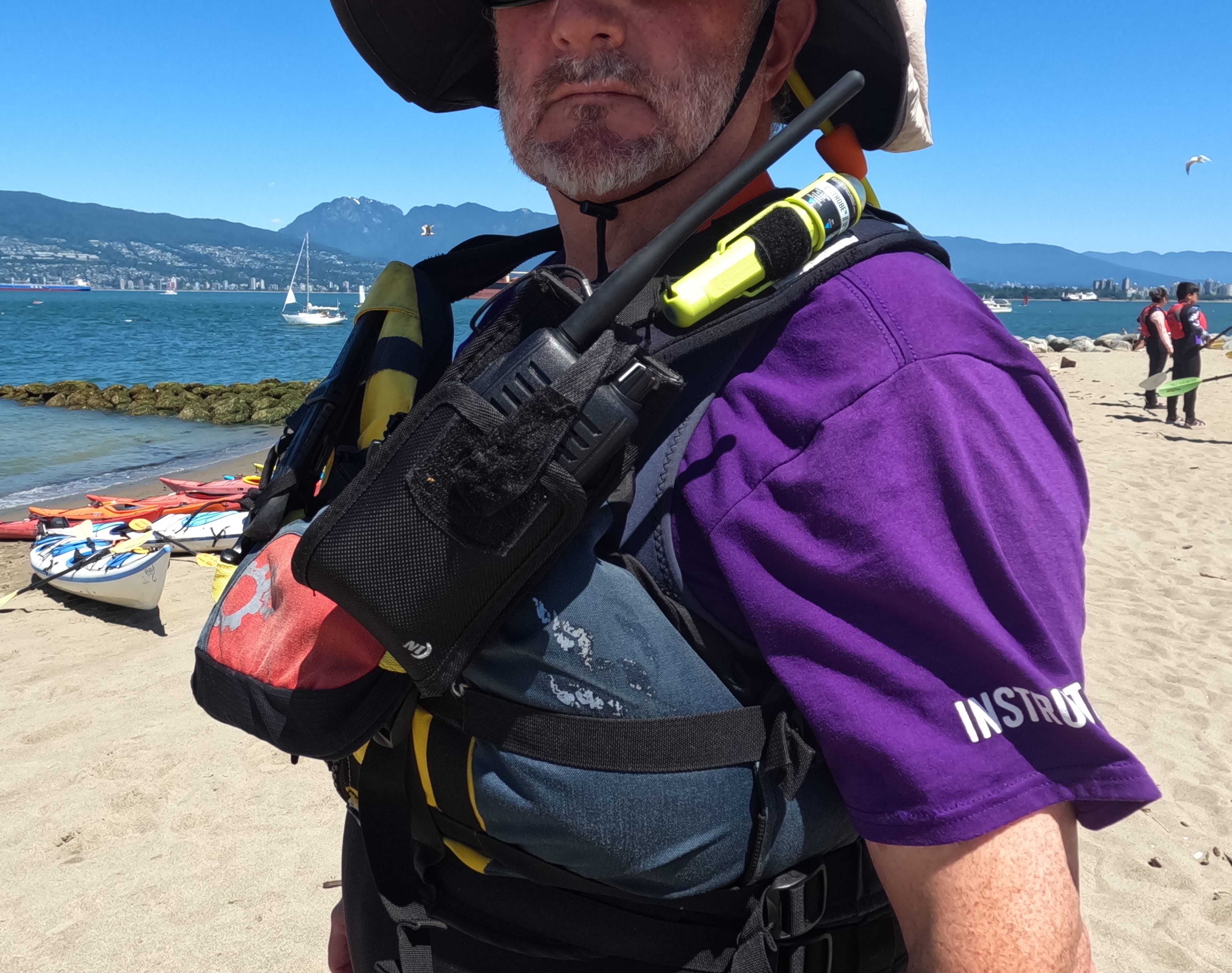
Because I’m routinely transmitting with my radio, I like having a radio pocket or case on my PFD shoulder that lets me quick-draw and quick-reholster. It baffles me that many sea kayaking PFDs don’t come with radio-specific pockets with pass-throughs for antennas. And that a certain kayak personal equipment company, whose products are otherwise intelligently designed, persists in putting the radio pocket on some of their PFDs dead centre at the waist front where: 1. The antenna is perfectly positioned to go up your nose; 2. If you’re swimming, both the radio speaker and antenna are underwater; and 3. The radio is subject to maximum crushing force under your body as you slide along the back deck after a seal flop or heel hook re-entry.

a photo of a holster for a marine VHF radio, mounted on a sea kayaking PFD

My current radio holding hack is a Nite Ize cargo holster, with the top flap cut away for antenna clearance, and a dollar-store hook-and-loop strap sewn on that can be released or secured one-handed. It stretches to fit either my DSC or non-DSC radio snugly, and the rotating back clip secures easily to the shoulder strap of my PFD. I like having the radio, especially the antenna, at least mostly above water in its holster in case I dump, especially if I’ve pushed the DISTRESS button and need the radio to be automatically calling for help while I thrash for shore or cling to my upturned boat.

But if you’re not constantly transmitting with the radio, the removable belt clip that comes with it should be fine for clipping to the webbing or somewhere on your PFD. Whatever system you use, add a lanyard and hook to prevent losing the radio if it should slip from your hands. I prefer the Scotty nylon snap hook over metal carabiners since it won’t rust or bang destructively against my radio.     

A part of many layers

If you’re familiar with the Swiss-cheese model of accident causation, you know that the more layers of equipment and/or skill-based defences you have, the more opportunities there are to break the chain that can lead to catastrophe. A VHF radio can be part of many of those defences: in the outer layers, it lets you access marine weather reports that help you make go/no-go decisions; in the middle layers, it lets you communicate with kayakers and other boaters to prevent confusion; and in the inner layers it lets you call for help if all else fails.

In more than three decades of carrying handheld VHFs for sea kayaking, I have never needed to send a full-on Mayday call. And I couldn’t be happier about that. But I’m also very happy to know that if the need should ever arise, I have both a radio and the knowledge to use it effectively. I think you should, too!

Philip Torrens is a long-time sea kayaker. He instructs on-water, onshore, and online classes for Jericho Beach Kayak, including the course to get your ROC (M). He’s the majority owner of WestCoast Paddler, an online community for kayakers. He also blogs about kayak trips and techniques at https://philiptorrens.com/

Crossposted from https://www.bcmarinetrails.org/vhf-marine-radio-a-lifeline-for-sea-kayakers/.

On the Level again: assisting on a second Level 2 Sea Kayaking course

Prologue: Once again the stars (or students) aligned for me to assist my colleague Mike McHolm on a Paddle Canada Level 2 sea kayaking course. Prior to this three day/two night camping trip, we’d done an intense weekend of pretraining with our students at Jericho Beach, heavy on both theory and practice.  

Friday, May 16, 2025

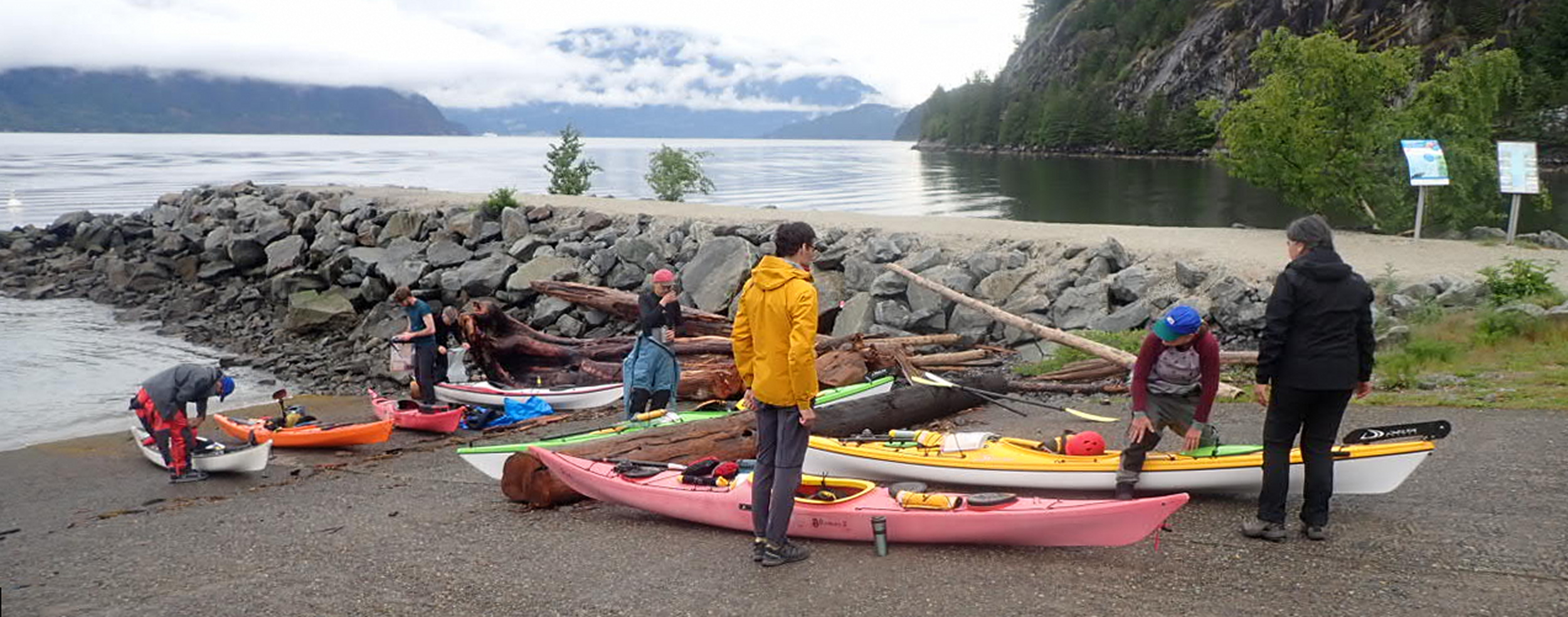
Mike and I rocked up to Xwawchayay (Porteau Cove) to find all the students already arrived and keen to launch. Before that however, we had a bit of learning and planning to do, and gathered round the nearest picnic table as an al fresco classroom. 

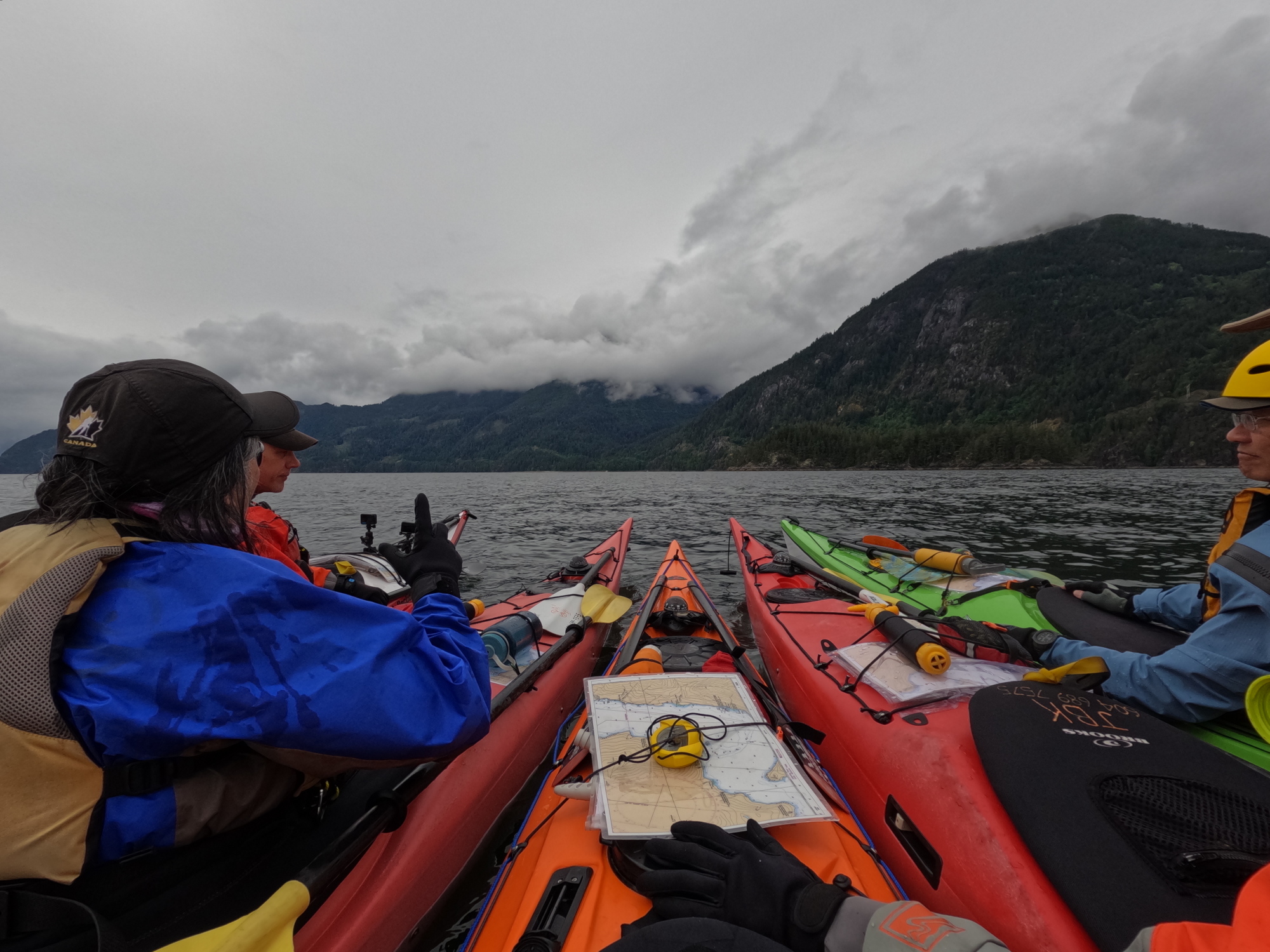
On the crossing, we practiced compass navigation, time-distance-speed calculations and the use of ranges. We made landfall just south of the Defence Islands, then turned north to handrail along the shore to Ts’itpsm (Zorro Bay).

Mid-channel course check-in

Enroute, we spotted a bear clambering up the cliffs from his seaside shellfish buffet. They were too far away for point-and-shoot cameras, but close enough that our Mark 1 eyeballs could marvel at their massively muscled shoulders. And the steep, rocky slope they were scaling proved their claws were easily the equal of human shinobi shuko and crampons.

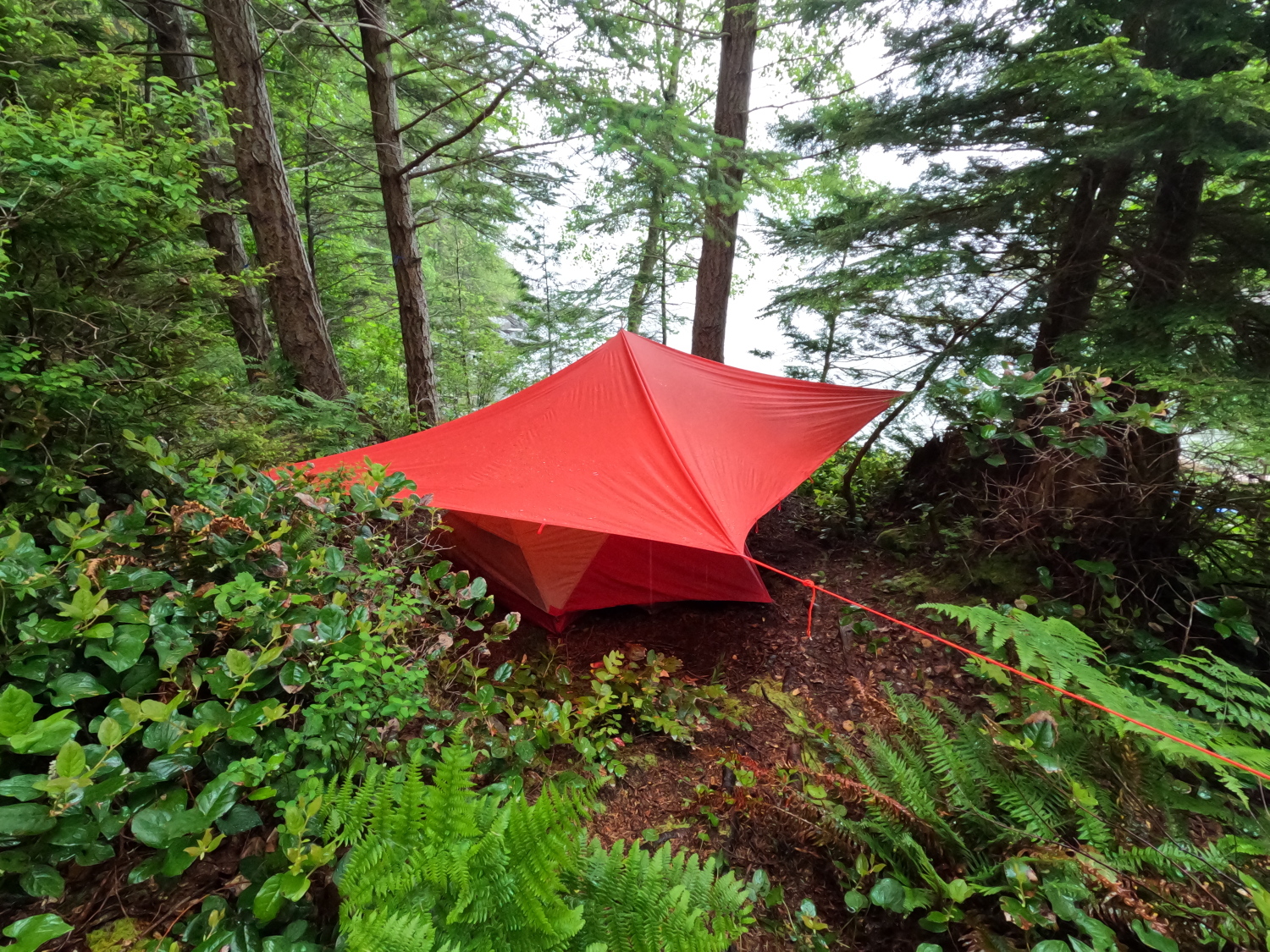
As we landed, showers were drifting in, so one of the first orders of business was to set up a dry central meeting area. I’ll plead guilty to being proud, verging on vain, of my tarpology skills, so I began rigging a roof over the most accessible picnic table. As we’d loaded our boats at Porteau Cove that morning, Mike had politely expressed that the tarp poles I was packing would probably be unnecessary, since he knew of a conveniently located tree at the site. As it turned out, the arborologist who regularly checks the site had decreed the removal of that particular tree since Mike’s last visit. So my precious poles were not a waste of space. I lashed one to a handy root ball to hold it firmly upright, and used it to suspend one end of the tarp ridgeline. 

Home, sweet home.

Once we had camp established, with everyone’s tents up, we reconvened at the water’s edge for a rolling clinic. This began on dry land, with Mike leading the students through the “load and drive” motions their legs and torsos should be following. Then it was on—and into—the water, with Mike kneeling next to each kayak in turn to serve as training wheels on the student’s first attempts.    

This is not martial arts training with a Greenland paddle (though Mike is arguably a Sensei): this is dryland rehearsal of the leg loads and drives that make for a successful kayak roll.
Setting up for the sweep, with Mike as “training wheels”.

As Mike was teaching, I waded out in what was supposed to be my drysuit to grab some video. An icy sensation flooding down my thighs reminded me I’d forgotten to close the relief zip after pumping my personal bilges on shore. With good reason, Mike laughed as I explained my error. But his turn would come (This is foreshadowing, or perhaps premoistening.)

It’s not a requirement for Level 2 to actually perform a roll, but you do have to have a good grasp of the theory. Impressively, Tony and Gwyn not only pulled off some paddle rolls, but Gwyn also succeeded in hand rolling his boat a time or two. A real testament to their learning and Mike’s teaching.

Once ashore for the day, I hung my drysuit liner suit in my tent’s gear loft, above the candle lantern I always carry in the shoulder seasons, so it could dry. Or at least graduate from saturated to merely clammy.

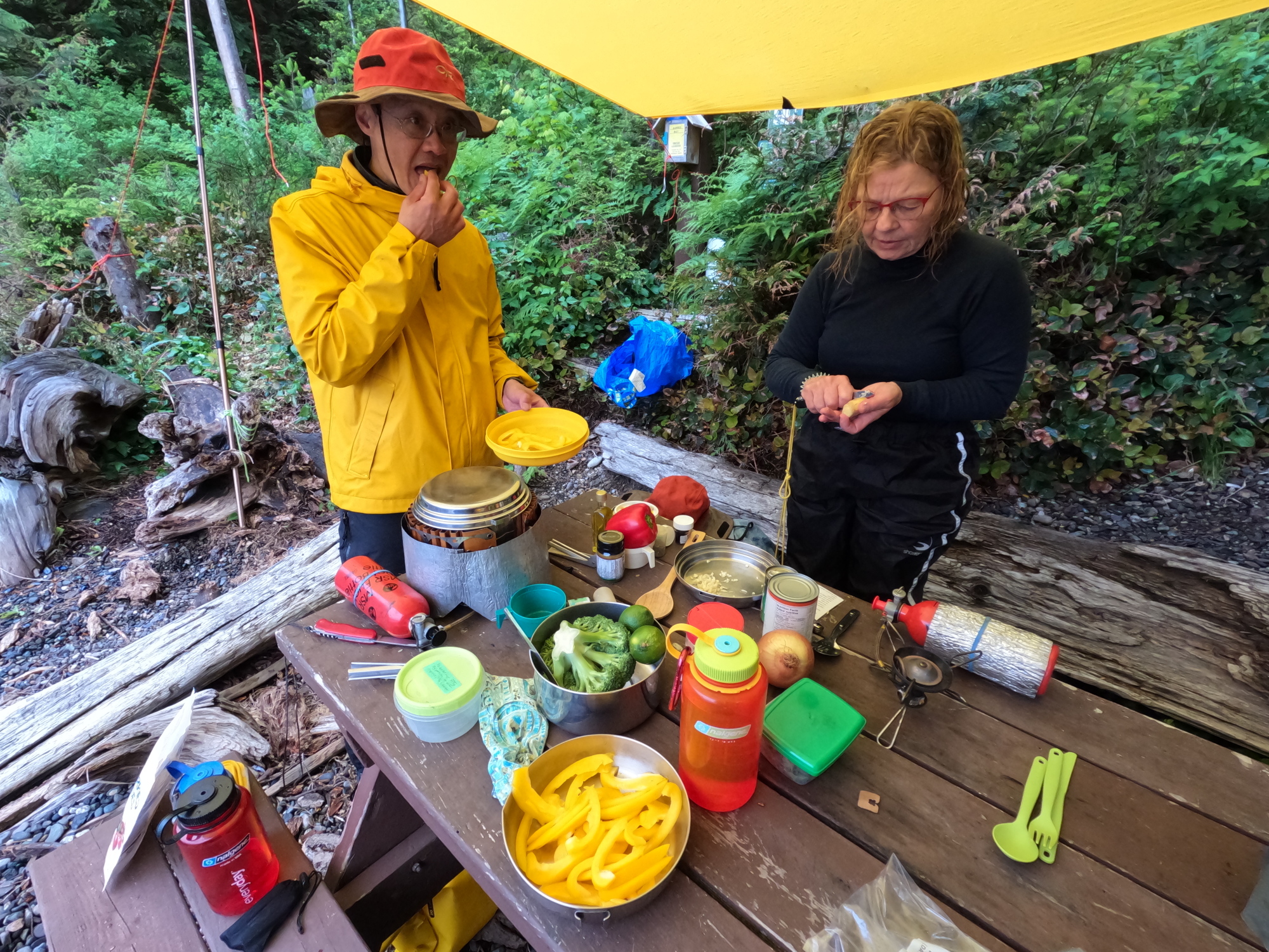
Ray and Dorothy had kindly offered to feed both Mike and I suppers on the nights we were out. And so we were treated to a delicious Thai curry, with lots of fresh veggies.

No scurvy on this sea voyage: fresh veggies ahoy!

Saturday, May 17, 2025

After practicing various strokes and techniques in the sheltered waters of Zorro Bay, we set off for our day trip to Islet View campsite. Enroute, we hugged the seaside cliffs as close as possible to use our manouvering strokes. 

Since the weather was cool with occasional showers, once we’d landed for lunch at Islet View, I fired up my MSR Windburner to provide hot water for soup and tea. Over years of shoulder season touring, I’ve found alternating bites of any lunch with swigs of hot soup makes even cold sandwiches feel like a hot meal. Appropriately enough, the lunchtime learning topics included managing hypo and hyperthermia.

During our lunch-and-learn, Mike dropped hints that the class might be hit with surprise scenarios on the way back to camp. This so affected one of the students that they felt a sudden urgent need to use the outhouse!   

Relaunching was a slow and careful process, as the tide had dropped enough to unsheath rocks with plenty of ankle-twisting and hull-cracking potential. 

Enroute to the Defence Islands, we worked on scoop re-entries. A bit after we’d made our turn north, one of our students—Tony—”unexpectedly” capsized, surfaced with a “shoulder injury” and became “hypothermic”. After some initial confusion, the other students responded to this scenario, getting him back in his boat, rafting up another kayaker with him to keep him upright, and beginning a tow.

“Saving” Tony

It was at this point that an interesting wildcard came into play. Ray was towing and the steadily increasing southeasterly inflow was shoving him and his towee to the left, towards the small rocky cape just south of Zorro Bay. Quite correctly, he was doing aggressive sweep strokes on the left, attempting to turn his boat and the towee’s to the right. To his bafflement, no change of direction was happening. The problem, which of course was much easier to detect from the outside, was that his towline was draped over the left back of his boat, and was preventing it from pivoting to the left, as needed to make a right turn. Compounding the difficulty, Ray was paddling his personal Delta kayak, a boat with a rudder, so the line was not free to slide across the stern over to the starboard side. So I paddled alongside, hooked the towline with my paddle and flicked it over to the other side. Detecting and overcoming glitches like this is precisely why we practice scenarios!  

By this time, as Mike happily noted, we had full-on Level 2 conditions – strong winds and regular spilling whitecaps. So he gleefully declared the towing scenario concluded and directed all students into the water to practice their solo re-entries in just the kind of conditions in which they might be capsized for real. As the students had experienced on our pre-trip prep weekend, doing re-entries of any kind in sporty waves is a whole different kettle of kayaks than in the millpond calm or light chop of Beginner or Level 1 seas. 

By the time each student eventually succeeded in reboarding, they were pretty tired and cold. So at Mike’s direction, I ran a shuttle escort service, accompanying ones and twos into the shelter of Zorro Bay—which was by now south of us—and returning for the next refugees as Mike drifted further north with those students still in the water. On my last turn around, I had a briefly concerning moment. Mike had been calling me on the radio, but due to water damage on his VHF, the transmissions were as faint and garbled as if he were signalling from Mars. And when I turned to run north, he and his students were nowhere to be seen. Until, that is, I had the sense to scan more westwards, towards the shoreline, where they were all steadily and safely clawing their way south.    

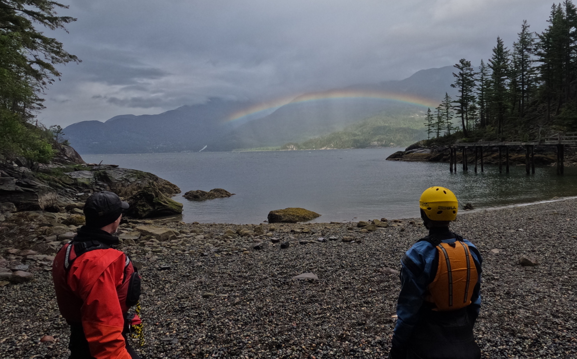
Just as the last of us landed, a spectacular rainbow lit up on the eastern shore of the sound. I’m not religious, but I’m pretty sure I remember reading that the rainbow is supposed to represent some deity’s promise that they are done with drowning people. So a good sign, then.

Sunday, May 18, 2025

We started the morning practicing hanging draws, followed by bow rescues. During one of his inversions, Mike discovered he’d made the same “leave the barn door open” oversight with his drysuit relief zipper as I had a couple of days before. So karmic balance was restored to the universe. It will be my turn again next time, I’m sure. 

Bow to your partner! A great way to prevent wet exits.

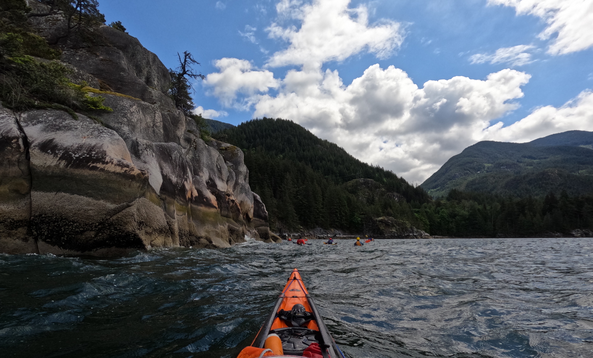
Our route, carefully planned prior to launch, took us east across Howe Sound to make landfall just north of Furry Creek, where we’d turn south to dogleg back to Porteau Cove. As the marine forecast had predicted, the southerly inflow was picking up nicely by the time we launched, so we had fine Level 2 conditions, or “Mike’s Delight” as I’m starting to call them: 1 to 2 foot seas with a high proportion of spilling whitecaps, all straight on our starboard sides, so we occasionally had to convert our forward strokes to slight sweep braces, or be ready to slap down a low brace.

I have a semi-unconscious response, developed during years of solo touring, to paddling in lively seas: I burst out into sea shanties. Fortunately for the rest of the group, the wind snatched away most of what we’ll call, for want of a better word, my singing. So they were not subjected to my offkey and misremembered version of “Jack was every inch a sailor.”   

As we handrailed south down the shoreline to Porteau Cove, we deliberately hugged the cliffs, enjoying the rollercoaster ride as the clapotis pinged off the walls to create sharp peaks and valleys in the water. 

Rocks and roll: Lumpy seas alongside the cliffs.

Just before landing at Porteau, Mike initiated the final exercise of the course: the “all in” where the entire class capsizes simultaneously, then helps one another reboard.

Happy landings!

Not long after that, we were safely ashore. After debriefing with each student individually, Mike and I set off to return the kayaks and gear to Jericho Beach Kayak. It was a very long day by the time we were finished and home, but as always, we were energized by the students’ enthusiastic response to the course and its challenges.  

Mike has made another of his excellent videos, with footage of many of the events described in this post.

Rescue me! Sea kayak saves with the Jericho Beach Rescue team

I’ve been kayaking out of the Jericho Sailing Centre for decades and guiding and instructing there for years. So when the good folks at the Jericho Rescue Team asked for a “splash test dummy” to help train their latest batch of volunteers on how to rescue capsized kayakers, I was all in! 

A sea kayaker's point of view of a capsize, with the rescue boat visible in the distance.
Over I go!

The Sailing Centre is home to many clubs and businesses that put hundreds of small craft out to sea every year. Inevitably, some of those mariners are going to get into difficulties. Each season, the Rescue Team helps with some full-on emergencies and intervenes early to keep dozens of situations from escalating into emergencies.

A view from the rescue boat, showing a capsized sea kayak next to their upside down kayak.
I think he’s supposed to be inside that boat, not beside it!

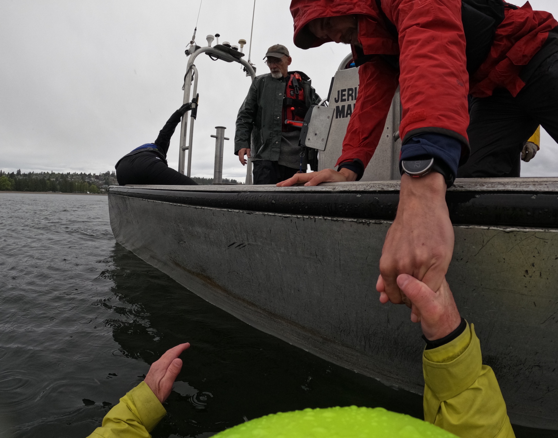
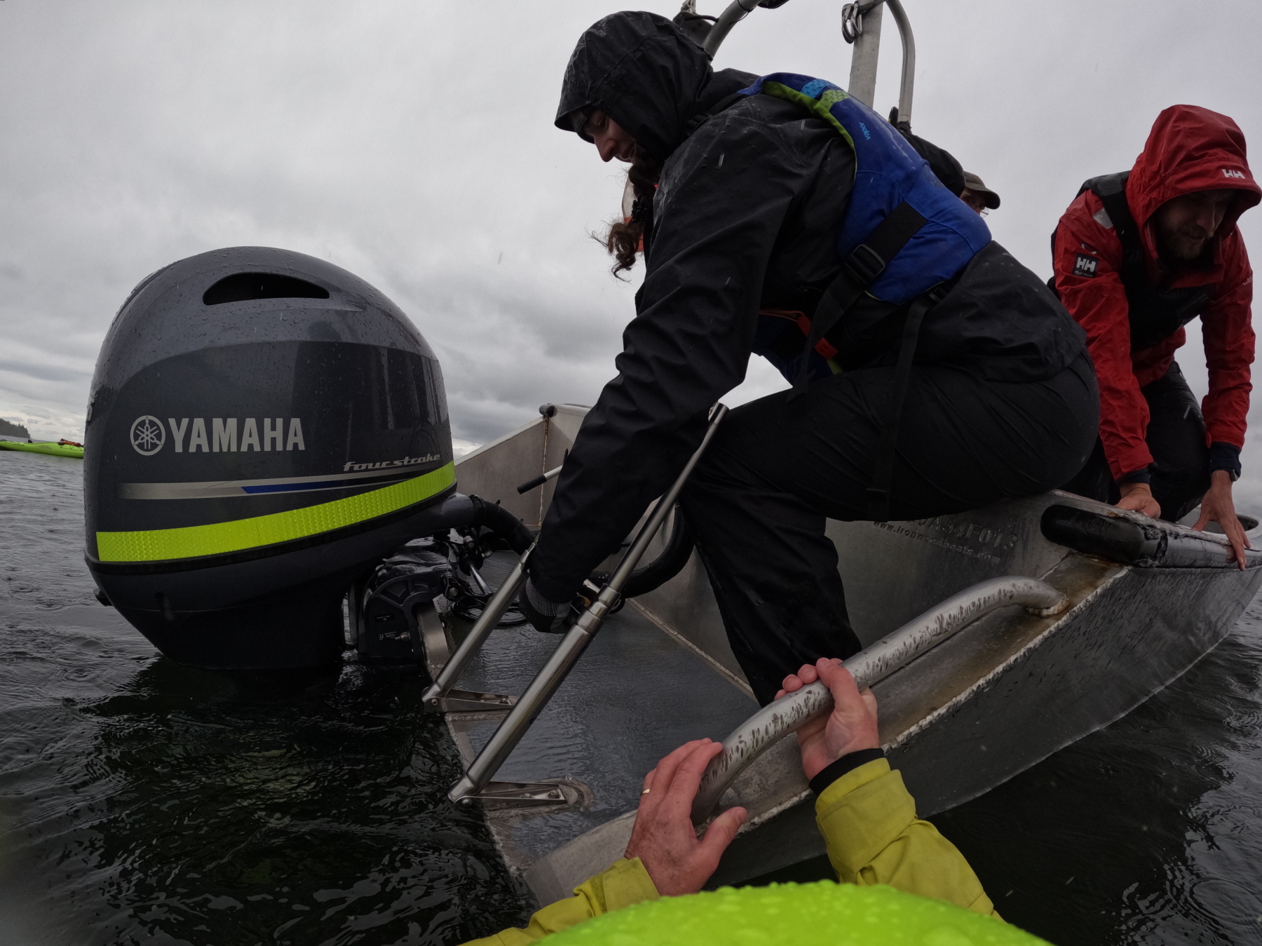
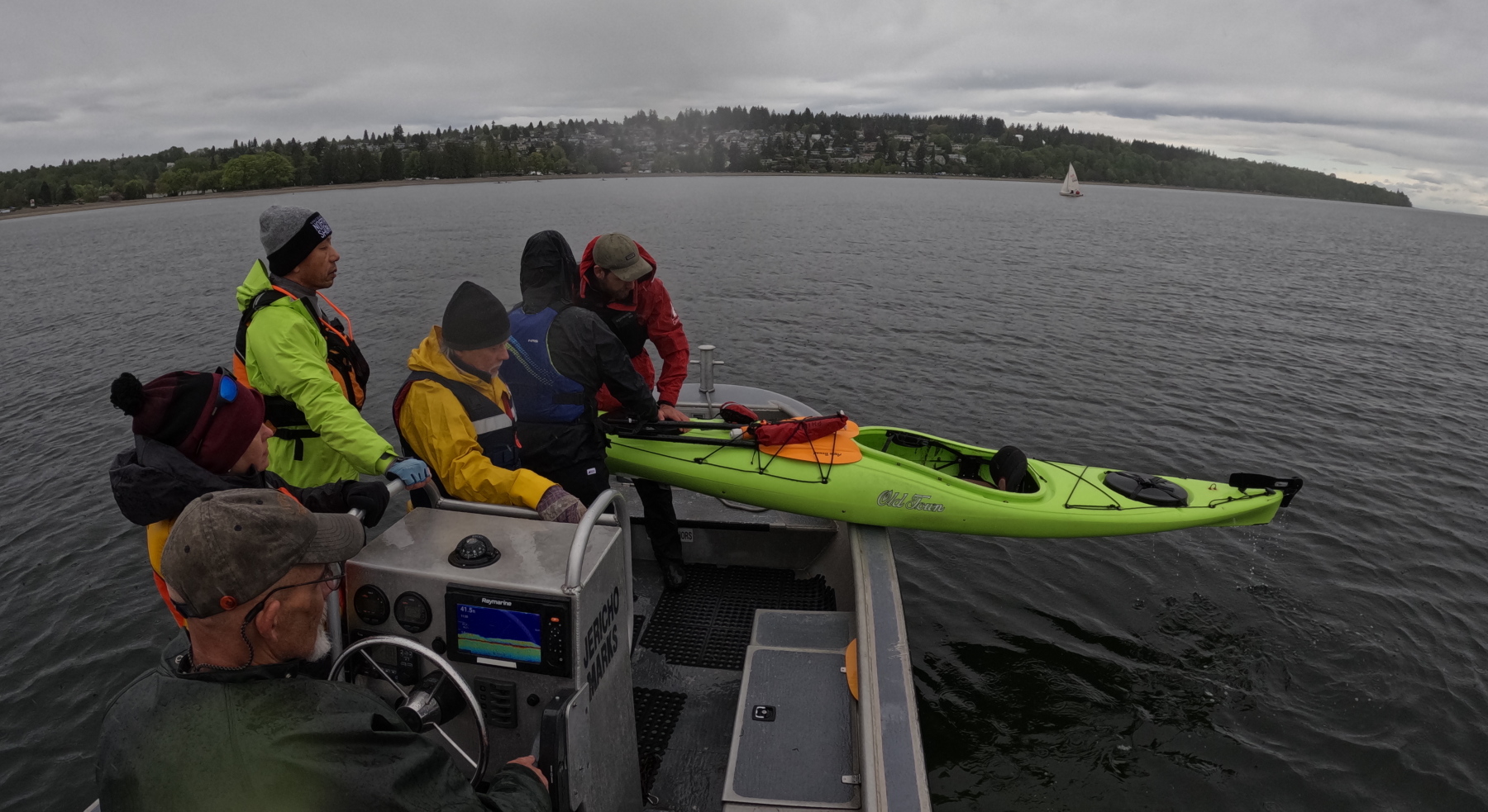
Actually fishing a kayaker and a kayak out of the water was a good learning opportunity for the volunteers, who deal with many different types of small craft, each with its own quirks. (Pro tip: a kayak drains better if you lift it out of the water bow first rather than stern first!) In addition, each trainee got the opportunity to steer the boat to the swimmer, and to kill the engine before pulling the victim to the stern and the reboarding ladder. (Thankfully for me, no-one forgot that last step!)

a capsized kayaker's view of the approaching rescue boat
Help approaches.

The late April Sunday was cloudy and the water surprisingly cold. But I had my trusty drysuit. Or not. As I discovered during my first capsize, I hadn’t quite sealed the zipper tab all the way, so the icy sea found its way in at about crotch level. Oh well, this added a bit of verisimilitude to the rescue scenarios! Plus I got to entertain the folks on the rescue boat with my down-on-all-fours, leg-cocked-up-like-a-dog-at-a-fire-hydrant pose as I drained water out of the drysuit zipper.

Almost there.
A helping hand.
Deploying the reentry ladder.

Despite draining and resealing my suit, my insulation layers were pretty moist. So I was chilled to the point of shivering by the time we’d finished the morning’s swims. I took advantage of the lunch break to rewarm in the showers at JSA, and to borrow a wetsuit from my employers at JBK, which I layered under my still-damp drysuit in a kind of “belt-and-suspenders” redundancy.

Bringing my boat on board.
Back in the water!
Poling me in!
Happily back aboard.
You could be forgiven for thinking the guy in the red suit is saying, “Check out that dork with the propeller helmet!” But in fact, it’s a trick of perspective with my paddle. And Red Suit is following the correct man overboard procedure, keeping one arm pointed toward the swimmer, so that the person at the helm of the boat is free to concentrate on safely steering to the rescue.
Swimming yet again!
a swimming sea kayaker reaches with his paddle to the rescue boat
Pulling in with the paddle

Once I was done with the afternoon plunges, the team deposited me on shore, where I lost no time taking a more prolonged warming shower, followed by a great meal at The Galley, courtesy of the Team. It was great to have helped them learn, while getting a better understanding of how they work.

Midwinter Paddling: to the Pasley Islands in Howe Sound, BC

January 21, 2024

The relentless icy rain this Sunday morning was pretty uninspiring. But we thirteen Jericho Beach Kayak guides had committed to a group daytrip weeks before. So we had a certain professional pride (plus a gender-neutral machismo) that dissuaded any of us from chickening out in front of our peers.

We waded through a small ice-water lake in front of the Jericho Beach Kayak hut to schlep the boats out to the roof racks waiting on our vehicles (the prudent—or at least the so-equipped—of us had heeded EJ’s suggestion to bring boots for this portage.)

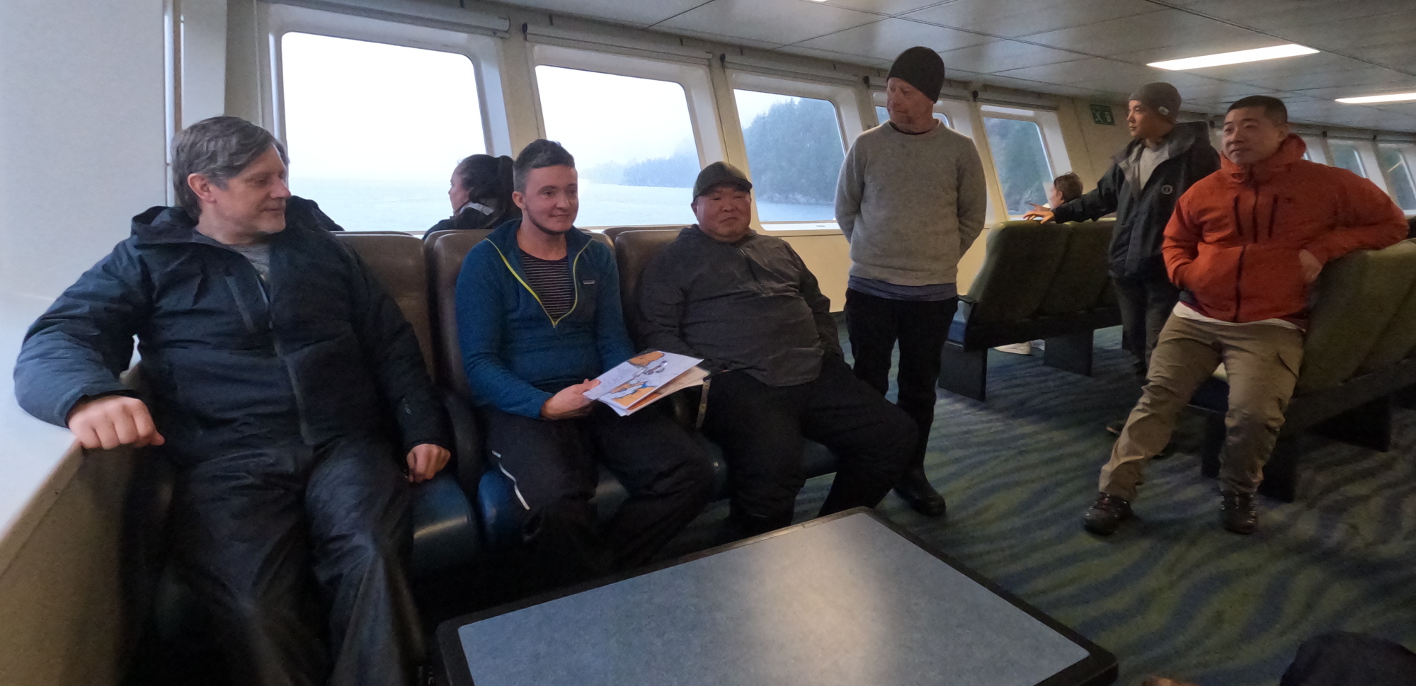
Our little car convoy made fine time to the Horsebay Ferry Terminal, and caught the 10AM something boat across to Nex̱wlélex̱wm/Bowen Island. Enroute, we had a quick huddle in the passenger lounge to confirm launching, the paddle plan and radio channels.

final pre-paddle briefing on the ferry

As if to reward us for our perseverance, the rain stopped just as we launched from Tunstall Bay at noon. On the cliffy south side of the bay, a frozen waterfall testified to the unseasonably cold weather of the previous week.

Ice, ice, baby! A frozen waterfall on the south side of Tunstall Bay
Enroute to Worlcombe Island

As we approached Worlcombe Island, we could see vast flocks of large birds gyring above the treetops. They proved not to be vultures lurking for under-prepared kayakers, but eagles young and old. (They’re clearly visible at this point in my buddy Mike’s video of our outing.)

Along the north side of Worlcombe Island

We alit a little after 1PM in a small bay at the southwest tip of Pasley Island. In summer, I wouldn’t bother firing up a stove for lunch, but in winter, it’s nice to stoke the inner fires with pre-warmed fuel. So my trusty WindBurner stove came into play. It was not only mucho fast but also provided much amusement for my tripmates, as the vast clouds of steam made it look like I was either improvising a sauna or preparing to do a magician’s disappearing act.

It being the offseason, the homes on the upland above our picnic spot were not occupied. This was fortunate, since it meant that those of us who lined up facing the southern rockwall to take the necessary pre-launch precautions to ensure our drysuits would remain dry for the next leg of the voyage were not accosted by irate cottagers. 

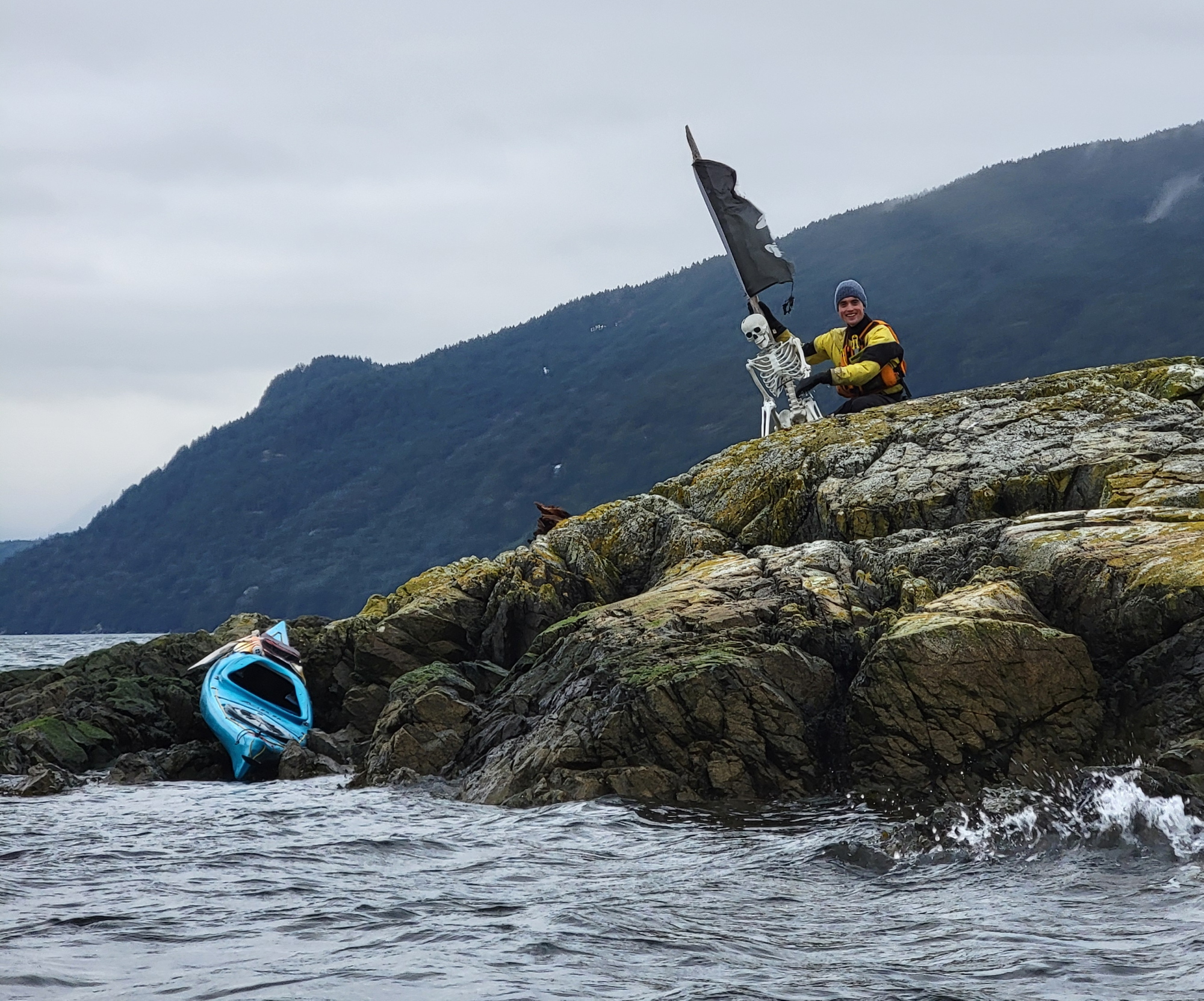
On an offshore rock near the northwest tip of Pasley, we spotted a bleached white skeleton. This was not a kayaker who’d been marooned by an insufficiently secured boat, but a brilliant bit of sculpture installed by an unknown artist for the delight of passing boaters. It even included an appropriately wind-tattered pirate flag.

Somewhere between our boney friend’s reef and Mickey Island, the rain began to fall intermittently. But it had held off for our lunch stop and was pretty tolerable while we were buttoned up in our boats and pumping out body heat with every stroke.

As we bobbed in the lee of Mickey Island, confirming our course home and who was leading the next leg of the trip (me, as it happened), swooping and diving seagulls just off the point on Pasley Island south of us showed something was afoot (or perhaps, afin). And as we got nearer, swirls and splashes from beneath the sea, like reversed raindrops, confirmed that fish were being herded up from below. Sure enough, enormous thick brown necks suddenly broke the surface, accompanied by huffs and snorts. (As an aside: I’ve been within paddle-poking distance of Orca more than once over the years, but I continue to be more wary of sealions than killer whales. Still, I comforted myself with the idea that if they decided they were tired of seafood and wanted a little red meat, the odds were only one in thirteen I’d be dinner!) The sealions are best visible at this mark in Mike’s video.

Switching leaders once more at the western tip of Worlcombe, we handrailed along its south shore, encountering more sealions on route. They proved pretty camera-shy, appearing only in the distance anytime I had my Go-Pro in hand.

along the south shore of Worlcombe Island

We landed back in Tunstall Bay a bit after 4PM, with a rain falling so steadily I opted not to change out of my drysuit, but to drive to the ferry terminal still wearing it.

The last of us rolled onto the five-something ferry just moments before it sailed, as if it were our own personal, private transportation. Upstairs in the passenger lounge, we ambushed one of our number, whose birthday it happened to be, with donuts and singing.

After offloading the boats back at Jericho Beach Kayak, we supped at the Wolf And Hound. It’s amazing how many of our adventures end there. It’s almost become our off-season office!

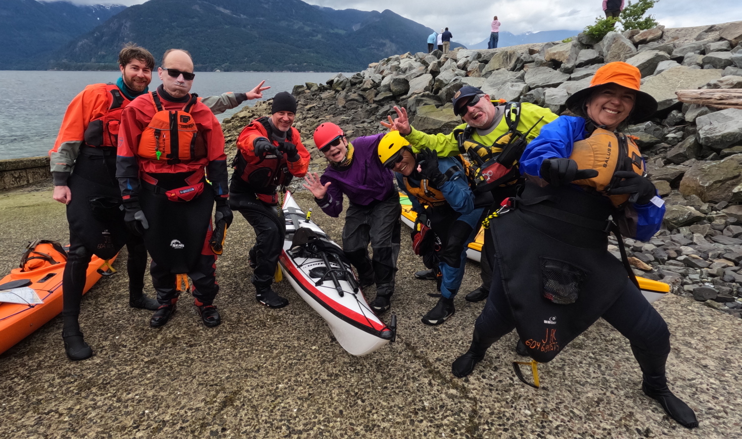
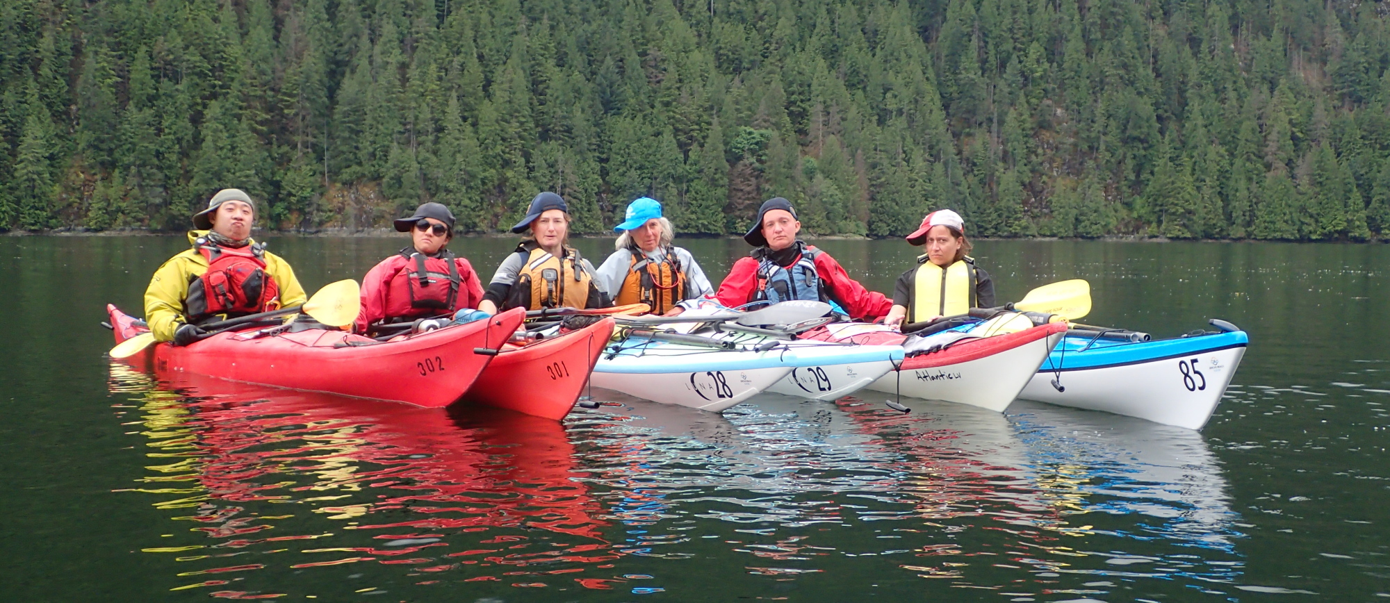
The fabulous thirteen!
a chart of Bowen Island and the Pasley Islands in Howe Sound, British Columbia, showing the route of our kayak daytrip
the route of our daytrip

Thanks to all my colleagues for the pleasure of their company, and to Mika, Chris, Natalie, Tomo, Warren, and EJ for sharing pictures for this post.

Guiding Light: 2023 Jericho Beach Kayak staff trip to Halkomelem: səl̓ilw̓ət (Indian Arm)

One of the things I love about working as an instructor-guide with a raft of mostly younger colleagues is the chance to spark off their energy and enthusiasm. But at work, the longest paddles we typically do together are day trips. So getting away for three days and two nights up Halkomelem: səl̓ilw̓ət with many of them gave me a chance to feel like I could pay things back a little by demonstrating some campcraft, backcountry cooking and compass navigation to co-workers who might not have done a lot of kayak touring.

Read more: Guiding Light: 2023 Jericho Beach Kayak staff trip to Halkomelem: səl̓ilw̓ət (Indian Arm)

June 9, 2023

Having swung by Jericho Beach Kayak to pick up boats, we arrived at Deep Cove mid morning. I, like several others, was waffling back and forth about whether to bring my wetsuit or my drysuit on this trip. At the present, it was cool and cloudy, with showers predicted, but it was scheduled to get warmer and dryer later in the weekend. In the end, I opted for the drysuit, which proved to be the right choice. At least mostly.

Launching at Deep Cove
Heading out of the Cove. Note the marine sighting compass tucked under my decklines.
Tethering up the boats at the Twin Islands dock

As we lunched on the Twin Islands, the rain began to patter down. Shortly after we left the Islands, it upgraded to full showers, with a following wind. I’d stowed a folding sail on the back deck of my boat (I was paddling a kayak borrowed from JBK, and suspected my boss would not appreciate me drilling holes in it to mount a permanent sail, so the clip-on Windpaddle Sail it was.) My cunning plan had been to effortlessly cruise past, or at least alongside, my colleagues. But with the cloud, the wind was not the strong atabatic it would have been on a sunny day, so my sailing was significantly slower than I’d hoped. In the end, I did a series of leapfrogs – sailing until I was a few hundred meters behind the pack, then sprinting with the paddle to catch up, then taking a sailing break again, and so on. The end result was me landing pretty much with the pod at Granite Falls in the late afternoon.

Running through the wind and rain. Croker Island is faintly visible in the distance.

On this rainy Friday night, there were only a few other campers, which gave us a nice selection of sites. Some of our group doubled up tents on one pad, since we suspected the Inn would be much fuller tomorrow (we knew at least three more of our own group would be joining us.)

Landing at Granite Falls, Indian Arm, British Columbia
multi-person portage at Granite Falls

EJ, our fearless leader, had rigged the kitchen-dining tarp by the time I had set up my tent and changed into shore wear. Very necessary as the rain was falling heavily now. Audrey was my meal mate for making the group supper this first night, and was very patient with chopping vegetables (I was making this dish, but with the Chorizo fried separately to be added downstream by the non-vegetarians in our group.) I also managed to subcontract grating the Parmigiano Reggiano to Mika, which left me free to concentrate on toasting the pine nuts, frying the veggies in proper order and boiling a huge pot of pasta. It looked like a lot, but eight hungry kayakers made short work of it. Good thing I’d also brought a strawberry-rhubarb pie to heat in the Outback Oven. And hot custard to pour over it.

June 10, 2023

It continued to pour heavily through the night, so I was glad of the overtarp on my tent. The precip lightened off by the morning, but we were still glad of the kitchen tarp as we enjoyed oatmeal with a range of toppings, courtesy of Chris and Mika.

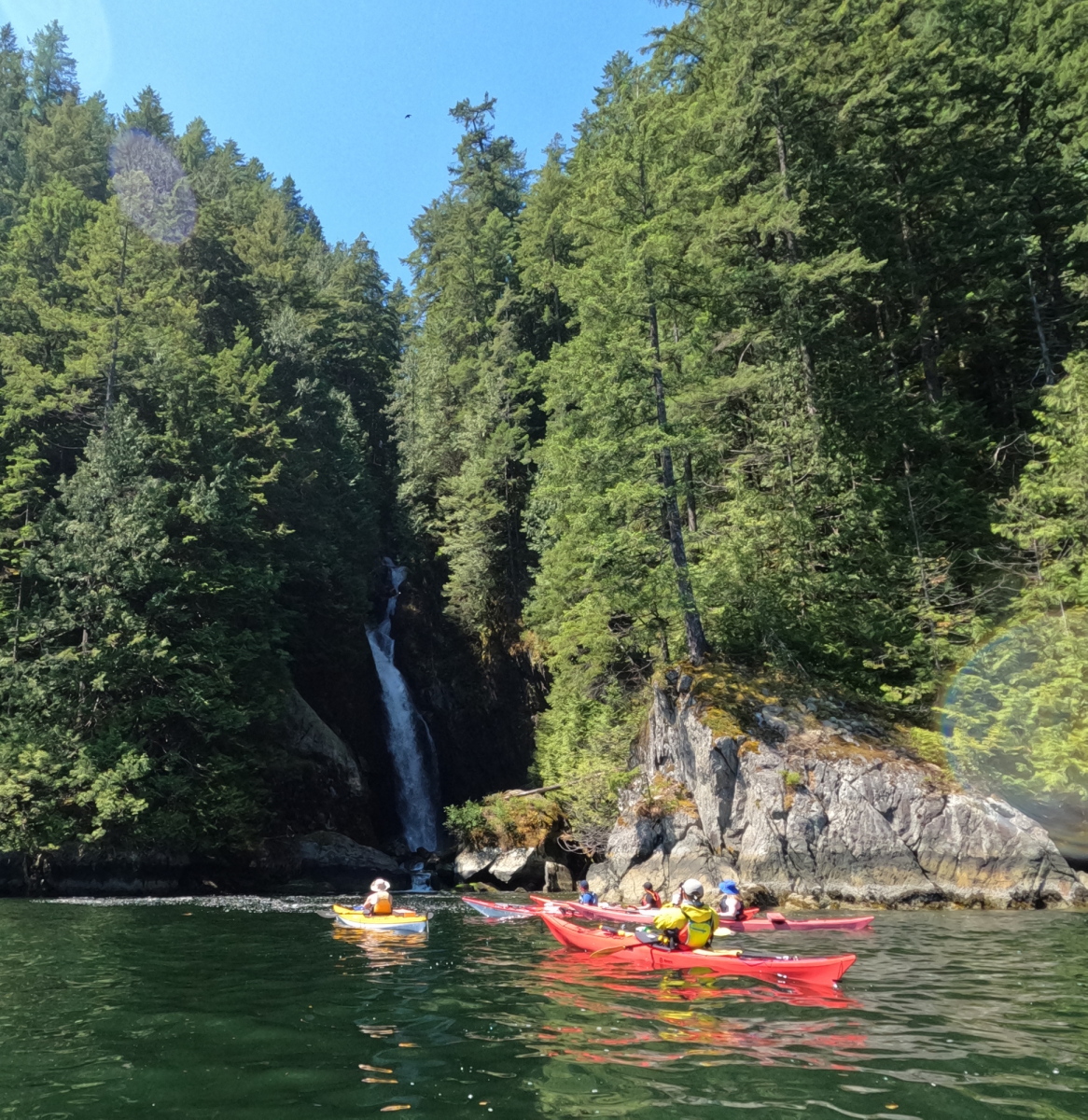
Paddling past Granite Falls

Then it was to the boats and off to the mouth of the Indian River. We’d planned to arrive at near high tide in order to get as far up the river as possible. With EJ demoing, the group got to practice paddling in currents. Though I used to run whitewater back in the day, being in an unfamiliar boat with a rather loose skirt, I opted to eddy out just below the sandbar the rest of the group made it to, and go birdwatching while they walked further upstream. During all this, we got the call on my VHF from the trio that were joining us today – Natalie, Maggie and Mark. I was pretty impressed that the handheld radios worked with us so far up the river.

Entering Indian River

After the exploration, we ran effortlessly downstream. The falling tide had made the river significantly more boney than it had been on our way in, but we got to a sandbar in the estuary without anything more serious than some sacrificed gelcoat. There Lyra and EJ laid out a beautiful buffet lunch for us. I got a chance to demonstrate a marine sighting compass and the use of a modified Douglas protractor to the group. After a bit of a learning curve with the sighting compass, the group did plot an LOP off the west side of Croker Island that put us where we already knew we were (how awkward if it had been otherwise!)

lunch at the Indian River buffet

On the way home, we both played and learned, experimenting with a variety of old and new strokes. Back at Granite Falls, as we’d expected, there’d been a massive population explosion, but everyone was being considerate of one another, and no-one was operating loud musical devices. (A sensible precaution, as it has been known for boom boxes at backcountry campsites to fall in the water, even from well up on shore. Funny that.) Natalie and Alex fed us to repletion on amazing ramen.

Paddlers in the hood

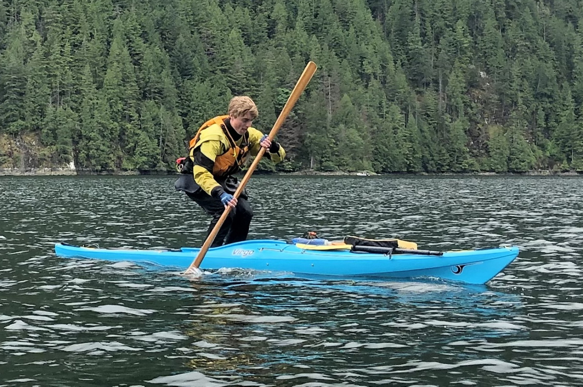
Mark is a stand-up guy!

June 11, 2023

Sunday lived up to its name, dawning clear and dry. I helped Marc and Maggie configure the campstoves to set up a pop-up IHOP, with excellent pancakes and a wide selection of toppings, including whipped cream! To tamp down breakfast, Alex led us all in some improvised yoga paddle warm-ups.

a magnetic tool with grains of local ferrous rock stuck to it.
This little magnetic stove tool is made to plunge the jet cleaner needle up and down. Turns out it’s also great for identifying ferrous rocks!
yoga posers
Sunday morning service

Natalie chills out on a water bed

Even with my lightest layers on under the drysuit, it would have been a boil-in-bag experience save for the fact I was wearing a Mustang Hudson suit, with a neck seal that could be loosened for a bit of ventilation.

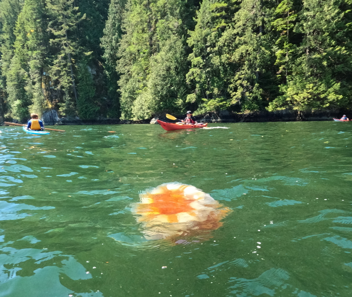
We frolicked down the east side of Croker Island, with Marc and EJ giving us an on-water clinic on the use of cross-bow draws and hanging draws to slip along right next to the rock walls. Just off Silver Falls, the water was thick with Lion’s Mane jellyfish, including one monster that must have been a couple of feet across.

big ass jellyfish

As we made our way south, the kind-hearted Mika fished a winged warrior out of the water, where it had somehow crash-landed and stuck. With its wings dry, it was able to take off again from our lunch stop.

With the sun out, the inflow wind rose steadily as we clawed our way towards Thwaythes Landing for lunch. (Where was that wind a couple of days ago when I needed it to race north to Granite Falls?) Elaine and Rita laid out a zesty tortilla wrap buffet for lunch. Since I’d been lagging significantly behind the group just prior to lunch, I opted to launch earlier than them after lunch to get a head start and not hold the fleet back. (By prior arrangement, we were in touch on Channel 69 on the VHF.) Though I was nominally the navigator for the fleet, they assured me they were capable of “keeping the land on the right” until they reached Deep Cove. And so it proved.

Thwaythes Landing

By hugging the shore and finding back eddies from the wind, I made pretty good time back to Deep Cove, maintaining my 30 minute lead. The sea just in front of Deep Cove beach looked like a pond of mutant water lilies, with paddlecraft and inflatable rafts of every colour and size wafting about under varying degrees of directional control.

I tried to put my advance landing to use by running to Honey Donuts, hoping to greet the main invasion force on the beach with a box of a dozen gooey treats. But the weekend line-up was insanely long, so I instead grabbed a quick shower and fetched my car back from the long term parking.

It was evening by the time we got back to the Jericho Sailing Association, offloaded boats, and headed home in that happily weary way that ensures a sound sleep and sweet dreams.

Thanks to all my colleagues for sharing their knowledge, the pleasure of their company, and their photos!