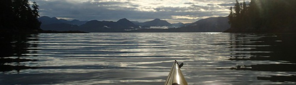
July 19, 2026
I awoke unprompted by my alarm at 5:30AM. I showered, unplugged all the electronics that had been charging overnight and hit the road for Jericho Sailing Association. Since my seasonal parking pass doesn’t cover overnights in the Jericho lot, I parked a few blocks away, piled the last of my gear and the fresh food in the cart. (I’d prepositioned most of my gear inside my boat yesterday, when I’d been guiding and instructing for Jericho Beach Kayak).
With the help of the JBK rental staff, I launched my laden boat about 9:45AM. The headwinds were already rather stronger than predicted in yesterday’s forecast on windy.com, so it took me until 11AM to reach the second dolphin at the west end of Spanish Banks. From here, I aimed more-or-less towards Point Cowan on Bowen Island — more when a lull in the wind and/or breaking waves made it possible and safe to head northwestish, and less when I had to turn straight into spilling swells for stability. It required constant alertness to monitor and prepare for the next set of would-be kayak capsizers.
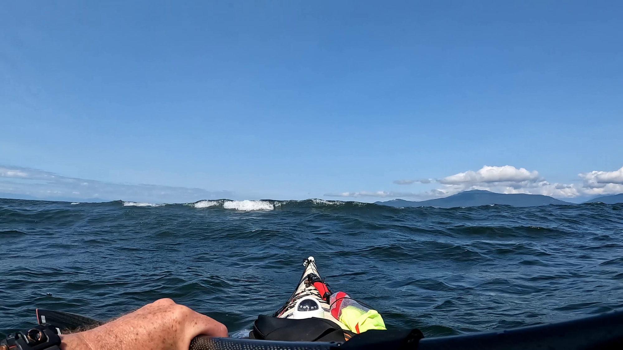
I cannot lie: there were a few times I was a bit nervous, and I used my braces “for real” more than once. But mostly it was a matter of (very) slow, steady plugging along. The seas were a sporty combination of swells, tastefully overlaid with wind waves, all set off beautifully with whitehorses and long streaks of white foam.
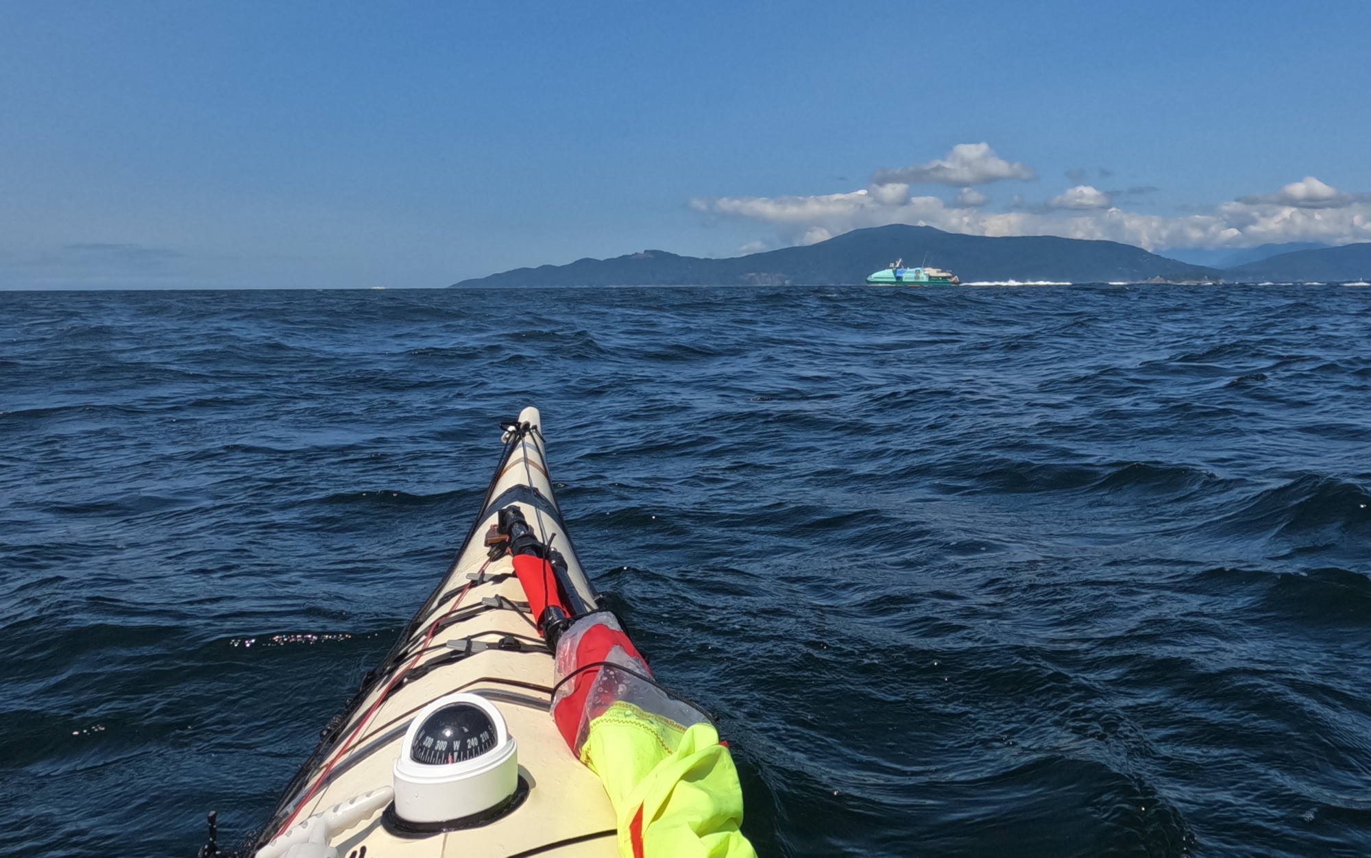
Any tedium was relieved by two passenger fast catamarans (Hullo Ferry’s entire fleet) criss-crossing in front of me, Nanaimo and Vancouver bound respectively. Their wakes interacted in challengingly unpredictable ways with the swells and wind waves. So “Wakey! Wakey! Rise and brace!” Not long after this, an American sailing yacht actually detoured to pass close and check if I was OK. Nice of them.
At one point, I had to surrender a fair bit of my hardwon progress, and swing down to a course toward Point Grey to ensure I would pass astern of a northbound freighter making its eastward arc into the Port Of Vancouver. Technically speaking I was at least a few hundred metres clear of the mouth of the inbound traffic lane marked on the charts, but I’m far too polite to make an issue of these kinds of things. Particularly with vessels that outweigh mine thousands to one.
As advertised in the Wildcoast Recreational Map (and my previous experience), the area southwest of Passage Island was rockin’ and rollin’ from the crashing currents of Howe Sound and English Bay, overlaid with the wind.
By midafternoon, I was rather thirsty and peckish. Fortunately, I had thoughtfully stowed a water bottle and snacks in my Northwater Underdeck Bag. Unfortunately, the deck of my sprayskirt was regularly awash with green water and I dared not pop the front open. Perhaps, like Paddington Bear, I should in future keep a marmalade sandwich under my hat “in case of need”.
Until now, I’d been navigating by chart, compass and Mark I eyeball, both as a matter of professional pride, and because constantly squinting at the screen of a GPS is a recipe for seasickness in big water. But now I fired it up to confirm the faint line through the trees I’d spotted on Bowen Island marked Optimist Creek leading down to Apodaca Cove. I was more than a little smug when the multi-million dollar satnav system agreed with me.
On the downside, it was now after 15:00 hours and the GPS’s prediction was that with my current slow plod, I wouldn’t reach camp until 17:30ish. Faced with this, I seized upon a moderately mad plan: I was now slightly upwind of Apodaca. Did I dare raise my sail in winds and waves this big? I did so dare. To achieve a beam run made good, I actually needed to point slightly upwind. This put me effectively beam on to the swells and breaking waves. But I reckoned that with the forward drive from the sail, I could stick my Greenland paddle out at right angles to the kayak on the upwind side, and use it as a foiling outrigger. I’ve been doing this while kayak sailing for years, but these were among the most challenging conditions I’d attempted. But all went well: spilling swells at times buried the blade a foot or more underwater, but I simply angled the leading edge of the paddle until it flew back to the surface.

The experience had a little bit of the mad exhilaration I’d always imagined for Ernest Shackleton’s party when they did their do-or-die sitting glissade down the mountains of South Georgia.
Having judo’ed the wind from enemy to ally, I rocked up at Apodaca at 16:15. Six and a half hours was the longest continuous stretch I’d spent in the cockpit in a long time, and the sea conditions were the most “technical” I’d paddled in quite a while (Paddle Canada Level 2 spilling over into Level 3 for those who know.) So while it had been hard work, there was satisfaction in knowing the ol’ bod still has it when needed.
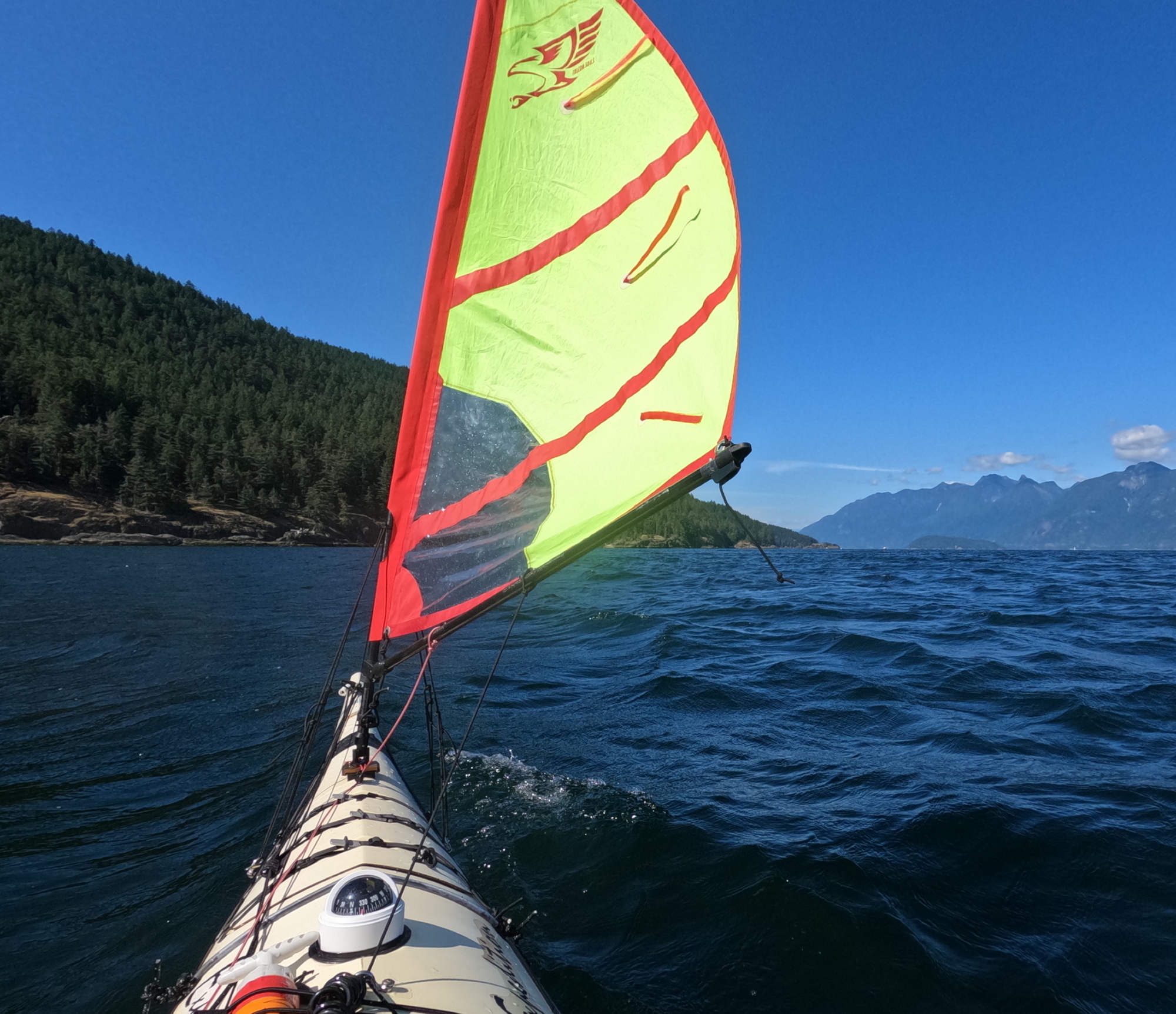
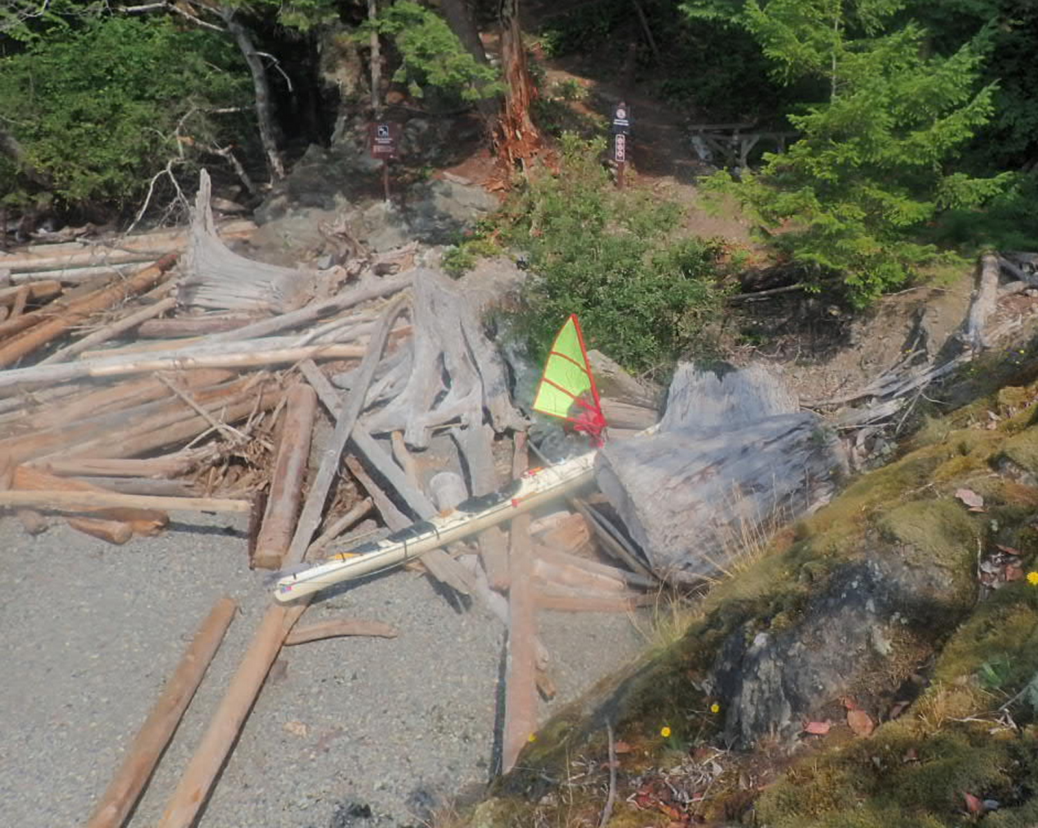
I bobbed a bit offshore of the beach for about ten minutes to let the wake from a passing BC ferry arrive and then disperse. The two rollers I’d homebrewed from wooden doweling sheathed in pool noodle foam made getting the loaded boat up the rocky beach much easier. There is a wooden kayak rack in the upland above the beach. But between the top of the beach and the rack is a gnarly barricade of tangled driftwood logs, as though a giant had been playing pick-up-sticks. I judged that solo portaging my boat across these multiple leg traps ran too high a risk of fracturing bones and/or boat, so I slid my craft as high up the logs as I could manage, then tied the bow off to a tree.
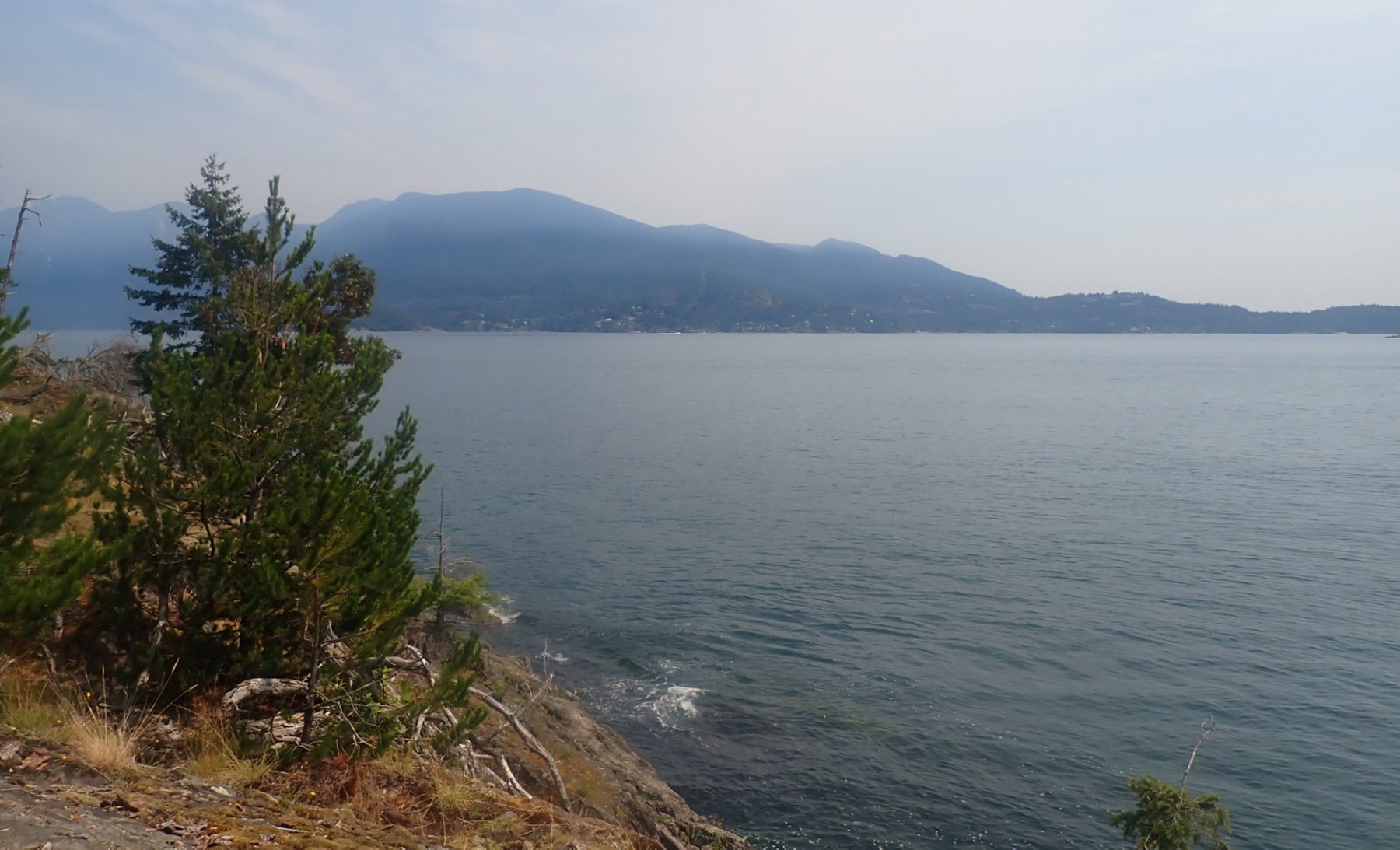
The switchback path up to the tent platforms was rather steep, but the view from the camping area was amazing: Passage Island, the city, and Point Grey in one wonderful sprawling panorama. Per my recent practice on shorter trips, I’d grabbed a panful of food from the self-serve buffet at my local T&T market, and frozen it at home for my first night’s supper. So as I made camp, dinner was thawing and heating in my Outback Oven. There’s something deliciously decadent about having Chinese takeout–Spring Rolls, Sweet n’ Sour Pork, noodles and stir-fried veggies–in camp.
As I write this entry, I can still feel the roll of the swells in my balance system; I know from previous experience this will feel like being rocked in a cradle once I lay on my sleeping pad. Just as I was ready to abandon my folding armchair for bed, a pair of bats appeared in the twilight and put on a flitting skyshow for me.
July 20, 2026
I read only a few paragraphs of my book (Armada by John Stack) before falling into the sleep of the just (the just pleasantly exhausted…)
I awoke painlessly at 8AM. Down to the boat to retrieve my forgotten coffee mug. Last night’s high tide (probably aided by ferry wake) has rearranged the lower driftwood logs on the beach, and may make tomorrow’s launch trickier.
The plastic triglide on one of the front hatch cover straps has snapped off; I field repaired it by tying the strap off to one of the stay anchor padeyes for my Falcon Sail. I’m overall really pleased with how the front and rear compartment hatch covers did. There’s a bit of mild dampness in the stern compartment, but no full-on liquid water. Pretty impressive considering the long hours in breaking seas during yesterday’s crossing. I’m glad to have added a thin strip of neoprene gasketing to the inside of the stern hatch cover.
I breakfasted on canned hash, Starbucks instant coffee and eccles cake (leftover dessert from last night I was too stuffed to finish.) As I ate, I watched a hummingbird mistake my grey and red tent for an oversize flower. On the blue water below, pleasure craft and private fishing boats passed, showing (to me at least) that in many, if not most, humans, something in us yearns for the sea.
I’m glad to be taking what real athletes would term a “recovery day”. I take advantage of the flat tent platform to do some “prayer stretches” for the squished discs in my back.
After having cunningly rigged two perfect lines for my hammock, I discovered to my chagrin that I’d packed the bag containing the bug netting for the hammock, but not the hammock itself! So I’m having to rough it in my folding armchair, which I slowly migrate around the tent platform so it’s in the shade throughout the day.
I have a bit of sunburn on my forehead. I don’t usually apply sunscreen there as sweat tends to carry it into my eyes, inducing a tear-gas like effect. And usually the wide brim of my sunhat protects it. But yesterday’s prolonged upwind paddle kept pushing the hat back and exposing my brow.
The seas appear teasingly calm in the lee of Bowen Island, but looking out into the Strait, I can make out white seas even with my naked eye.
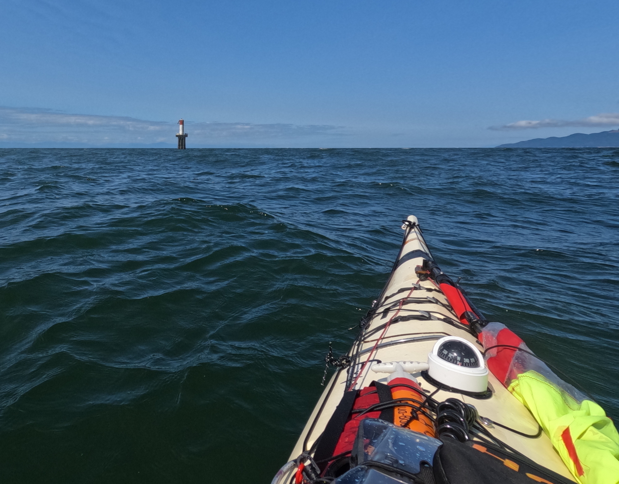
The forecast is for light winds from the west tomorrow, so I think I will aim for the red buoy off Point Grey (which bears 127° magnetic from here), then hopefully broad reach back and forth under the sail back to Jericho.
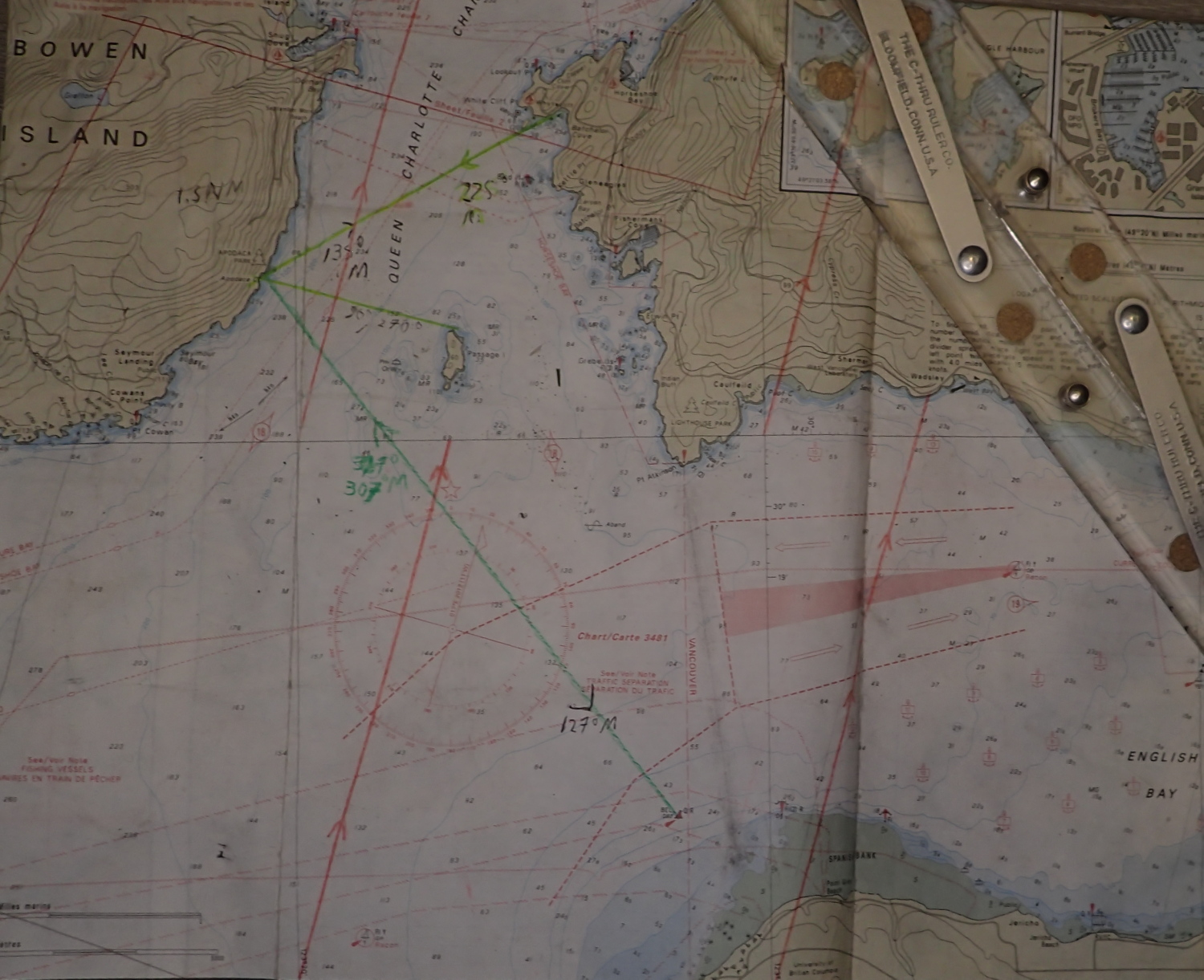
I’m enjoying drinking off the ice water from the cold packs in my cooler as they thaw. Very refreshing on a hot day. The interior of the cooler is still cold enough that I have no concerns about the food safety of tonight’s smokies inside.
The bugs were out more strongly tonight, and I could not locate the Bug Off I was sure I’d packed (PS: naturally, when I unpacked at home, I found it immediately.) So I retreated to the tent and hit the bed early.
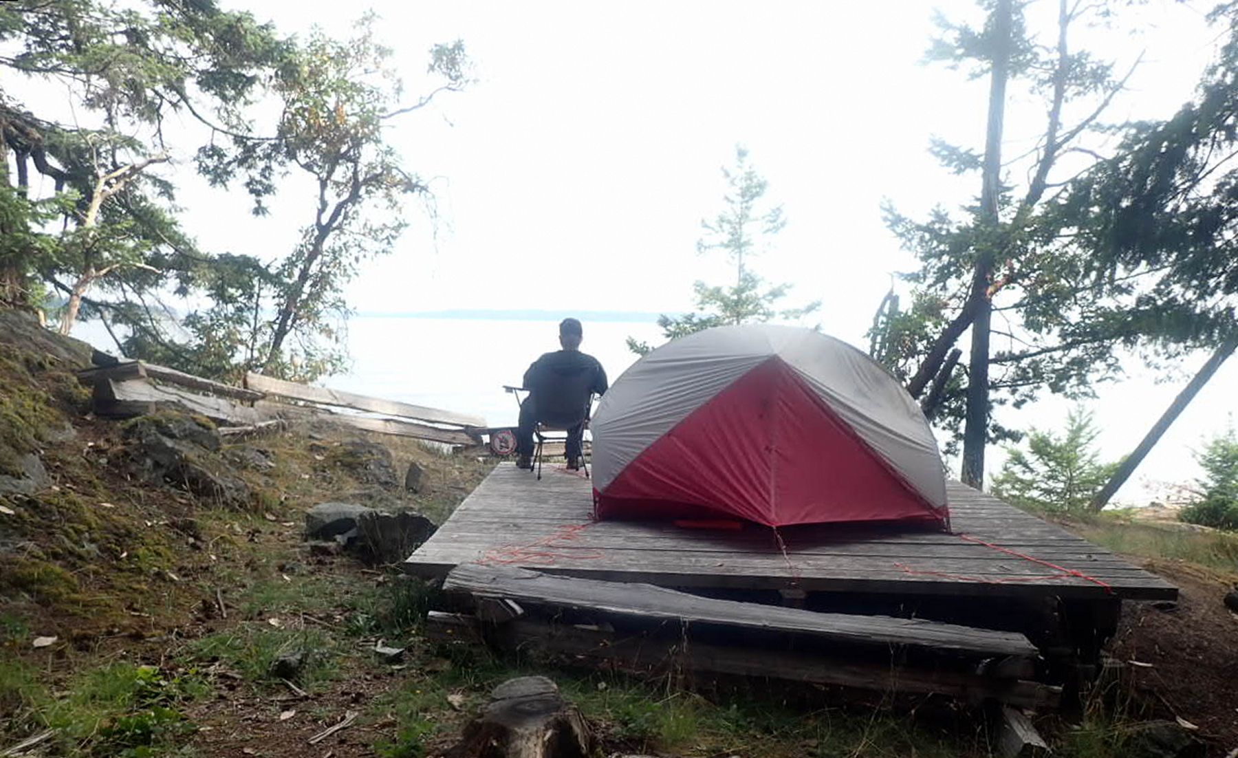
I woke up briefly in the night brooding about the shifted driftwood logs and ferry wake making the morning’s launch difficult and/or dangerous.
July 21, 2026
I’d set my alarm for 6AM, but woke up naturally at 5:30. So nice to break camp in the dry and in daylight. Instant oatmeal for breakfast. No coffee as I don’t know how long I’ll be in the boat this morning.
I skidded my boat back over the driftwood logs and launched safely at 8:30AM, par for my course of 3 hours from getting up to getting away. Wonderfully calm on launch – so nice staring down into the cool green depths.
I marked my southward progress by watching the south tower of the Lion’s Gate bridge (just visible through the distance and haze) migrate steadily from left to right of the Point Atkinson Lighthouse.
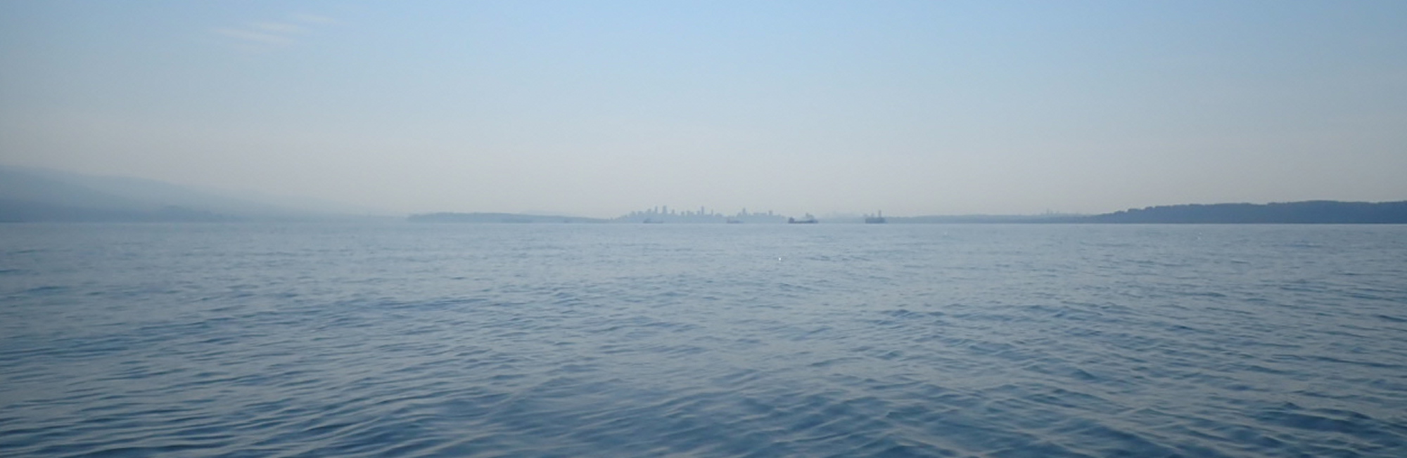
My goal was to get far enough south far enough that by the time the morning inflow winds picked up, I’d be in the “suck zone” of English Bay rather than Howe Sound. At first, rising ripples on the sea’s surface weathervaned to me that I was still in the Howe Sound catchment area. Then, about an hour and a quarter after launch, the ripples shifted from coming dead ahead to on the starboard quarter; I’d hit the tipping point. Though the airs were still only very light, I raised the sail.

Despite pointing my bow just east of Point Grey, the wind angle and a strong inflow tide swept me hard east, so that at times I had to paddle-sail to avoid hitting freighters rudely anchored in my path.
Once I reached the first (eastmost) dolphin off Spanish Banks, I was able to proceed on sail only the rest of the way to Jericho, landing at 11:30AM. Three hours home vs. six and a half on the way out. I’d earned my fish n’ chips at The Galley.

